Finca Salma, Dreaming, Planning & Difficult Budgets
/How did we get here?

This blog will be heavy on back-ground and hopefully answers the keys questions that I have received since executing on this move. Generally those questions are:
Why Ecuador?
“Where did you get the balls to do something like that?” (a disagreeable colleague at the bank)
“Everyone wants to come here (EEUU) and you’re leaving? What’s the matter with you”? (my mother and other aunties)
How will you live/earn/exist? (me)
In a later post, I will fully answer Question #2-4 and outline some pitfalls, share some budgets and generally try to explore the deeper question of: why and how did an immigrant from El Salvador relinquish a (somewhat) successful career in the US only to immigrate to South America. I will also delve into how I convinced a wildly successful, brilliant and beautiful young woman to join me.
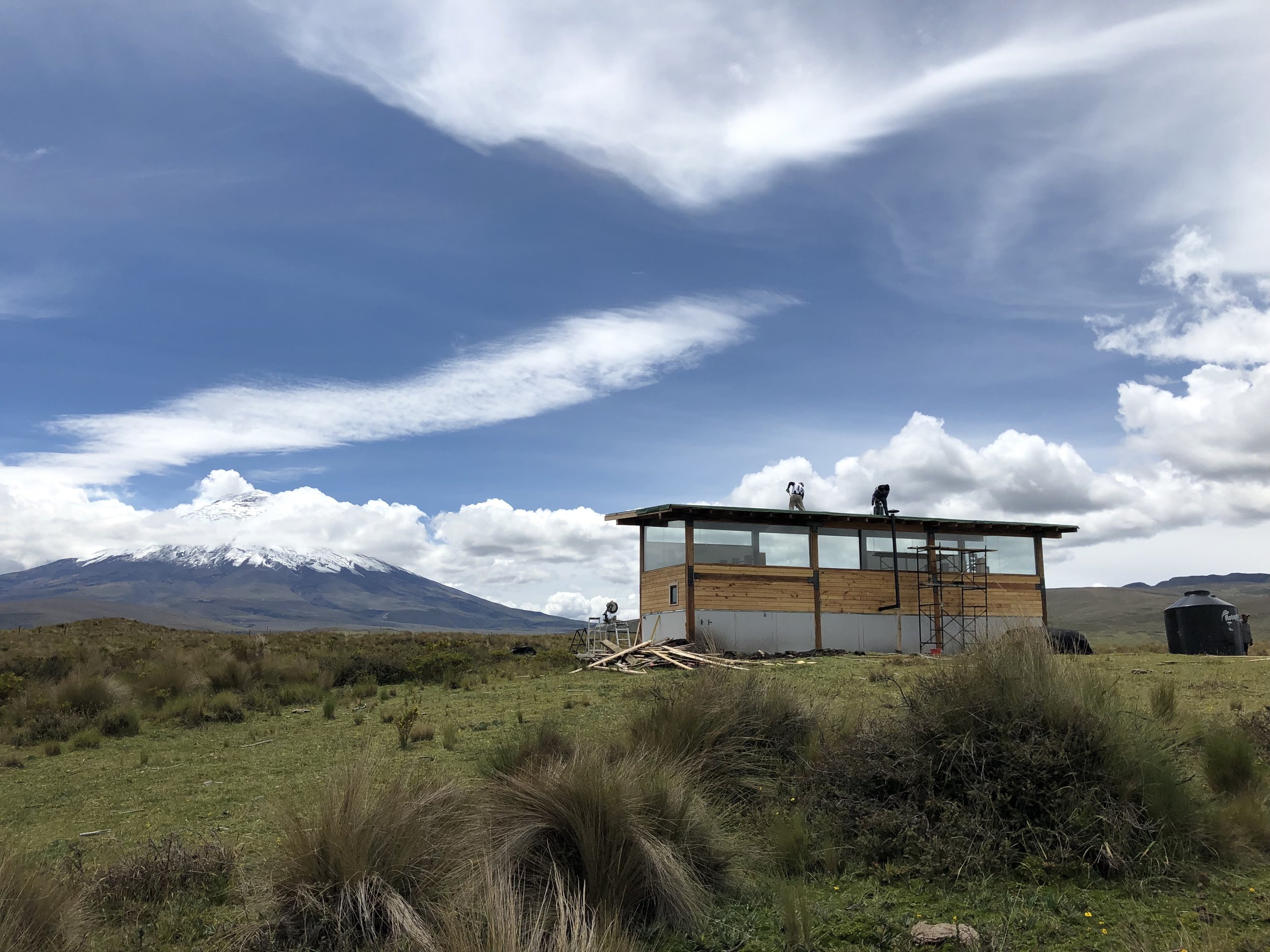
#1—why Ecuador and why this part of the Andes. The madness was trigged by this volcano, Cotopaxi. As I see it now everyday it remains a marvel. In January 2013 when Amina and I spent 3 days in Pedregal, we were mesmerized by the scenery and, being unhappy with our professional lives back in EEUU, we began asking ourselves silly questions such as: What if we lived here? How would that work? How could that be accomplished? Where are my pants? Simple questions lead to some research and the "scheming and dreaming" began in earnest.
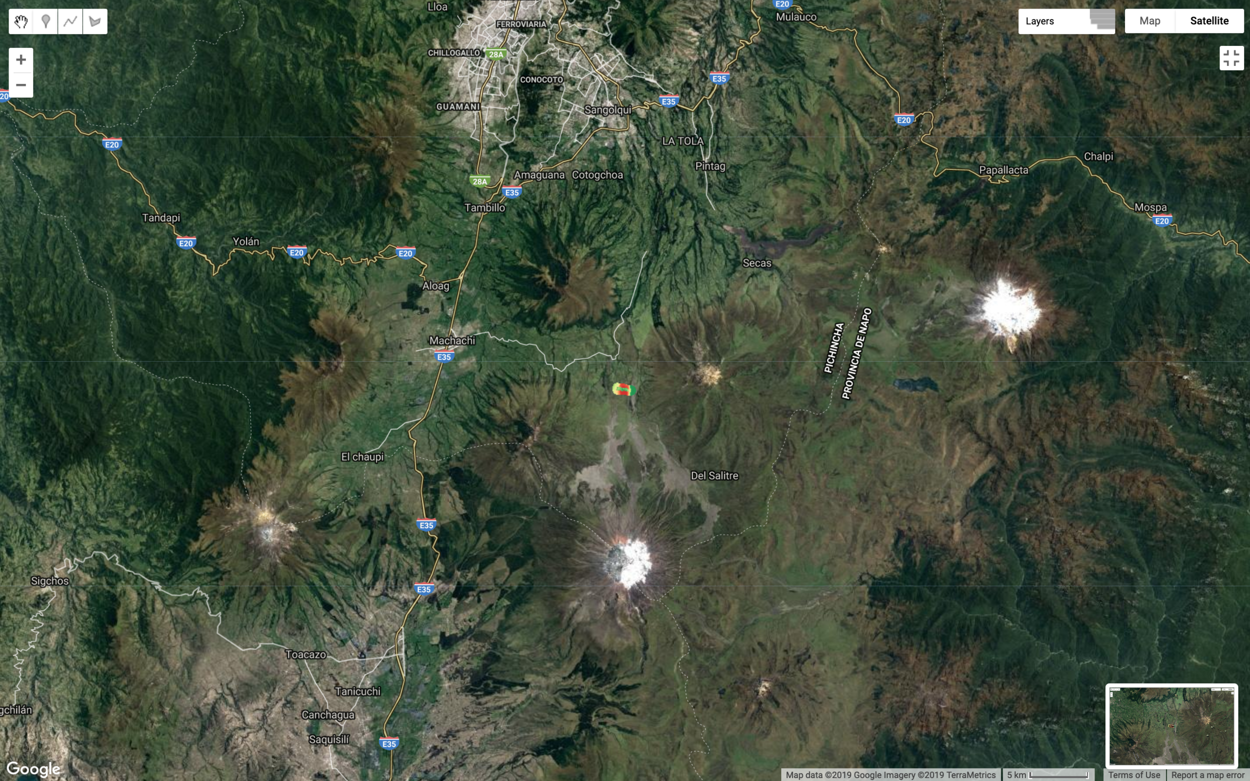
Cotopaxi National Park is located in the "Valley of the Volcanoes" and it’s just an hour South of the Capital City, plus a 30 min ride from hell from Machachi to our Finca. Here’s a map, some facts about Cotopaxi:
Height: 5,897m (19,347 ft)
Cotopaxi Parking Lot: is at 4,500m and from our house to the parking lot takes about 30 minutes by car (from SecretGarden to the volcano is ~25km and 45 minutes to the parking lot). The climb on foot begins at the parking lot and most climbers seeking the summit shelter at the Refugio Rivas.
Refugio Rivas: 4,800m
Glaciers: are generally at 5,000m (this has recently changed and even during the raining season, it appears to have retreated).
Eruptions: Approx every 100 years, currently erupting off and on since Spring 2015. The Ecuadorian government has a geophysics department dedicated to monitoring all of the active volcanoes, the link is below. The website views of EPN are on a repeat cycle and are not live.
REFERENCE
http://www.summitpost.org/cotopaxi/150311
http://www.igepn.edu.ec/cotopaxi/camaras-cotopaxi
The view south, OUR house sits just to the left of this location. you can see mortinos boutique lodge to the right.
For me, the “scheming and dreaming” part meant planning in detail, on spreadsheets (god I love spreadsheets), everything that was required to do this move. That included lots of legal work related to the sole and physical custody of Luca. More on that in a separate post. After 3.5 years of planning, we executed on our move in August 2016, leaving our jobs (and for me, my career), uprooting Luca (entering 6th grade) and starting brand new in South America. Kinda crazy. My best earning years were the next decade before me as I had returned to the Bank (WFC) and fit right in where I left off (most of my colleagues had advanced to more Sr. Mgt roles than the one I returned to take). ”You know Alex”, said a friend, “If you had stayed (I had left for a different financial firm) you would have already been a Director for a few years…”. I know! I knew! Ahh!
Well, in Ecuador we knew no none. We had no connections business, social or otherwise. It turns out I don’t even really speak Spanish (I speak Spanglish), chuta! I only had vague ideas of starting a tourism business. Hmmm…
My understanding about the tourism business generally, and how it operates in Ecuador, is now a little less vague. Clarity comes each day as I learn more about it and a vast array of other things. Right now I could put together a reasonable business plan that outlines my vision. Additionally, everyday I learn something new that was once completely out of my comfort zone, things like: permaculture, Alpaca & ranching, land management, animal husbandry, elevation patterns of Polyepsis Cana how to no kill myself with a circular saw. You know, things all middle age men encounter after being in a cube or office for 20yrs.
Some links to reading material, if you’re interested:
Links:

One thing we DID know is that we wanted to be as near to the Volcano as much as possible. At first, we thought to rent some land and build a very small cabana for the weekends. I would continue to give tours on horseback (which I did near the Volcano Cayambe, another huge 5600m volcano 160km to the North), while I figured out what to do in more detail. The Q: “What to do” for me became a journey of self discovery, I have not yet been able to explain all those thoughts/feelings/actions yet, as they are still happening, but I’m mindful that I’M REALLY FUCKING LUCKY. I’m alive, we’re healthy, Amina and Luca have found peace and the three of use are thriving in our own ways and are also growing together. I am grateful and humble…


On our trip to Galapagos.

My Family came to visit for 3 weeks and it flew by!
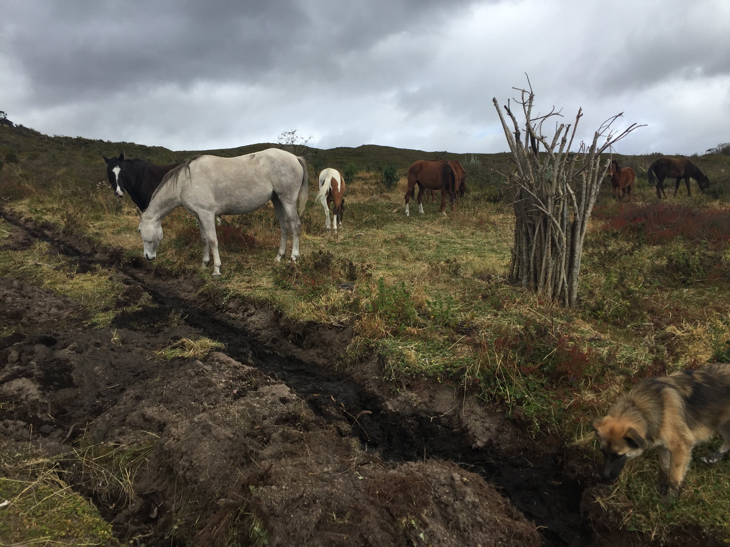
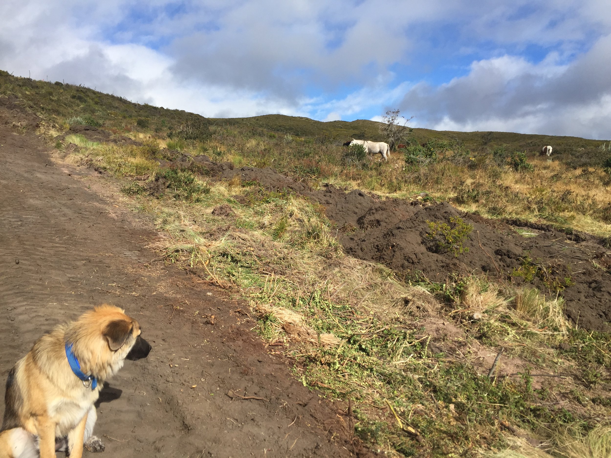
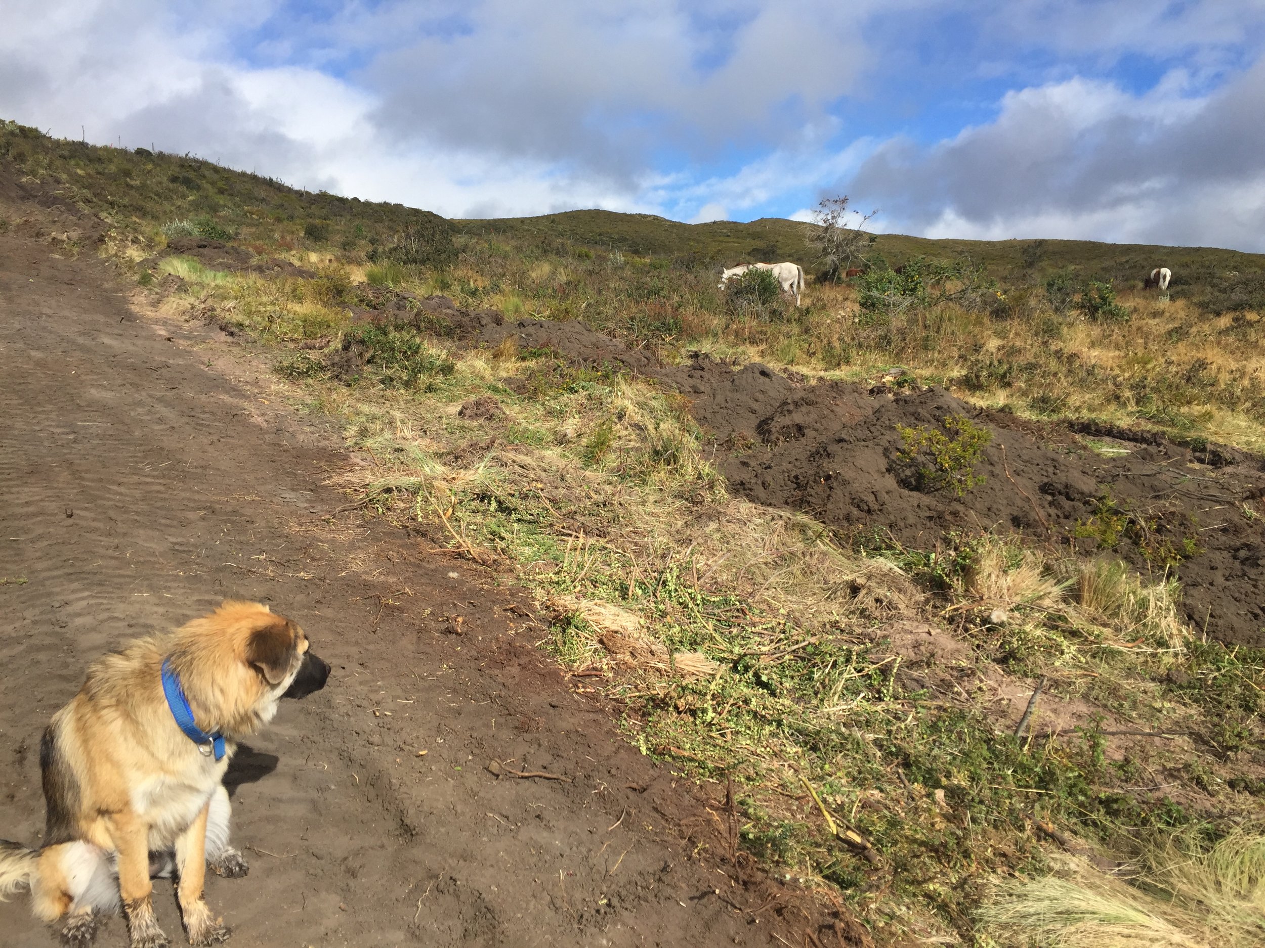
During my regular trips to the Volcano Cotopaxi (3-4 times a week—after all, what else was I going to do during the day), I focused on gathering as much intelligence as possible and I befriended a local land owner name Ohler, his wife Carmen and her sister Marina. They run a small stall right at the North entrance to the National Park. They sell water, hats, trinkets, beer and other variety touristy items. Turns out, they are also large land owners…and formidable cattle ranchers…hmm.
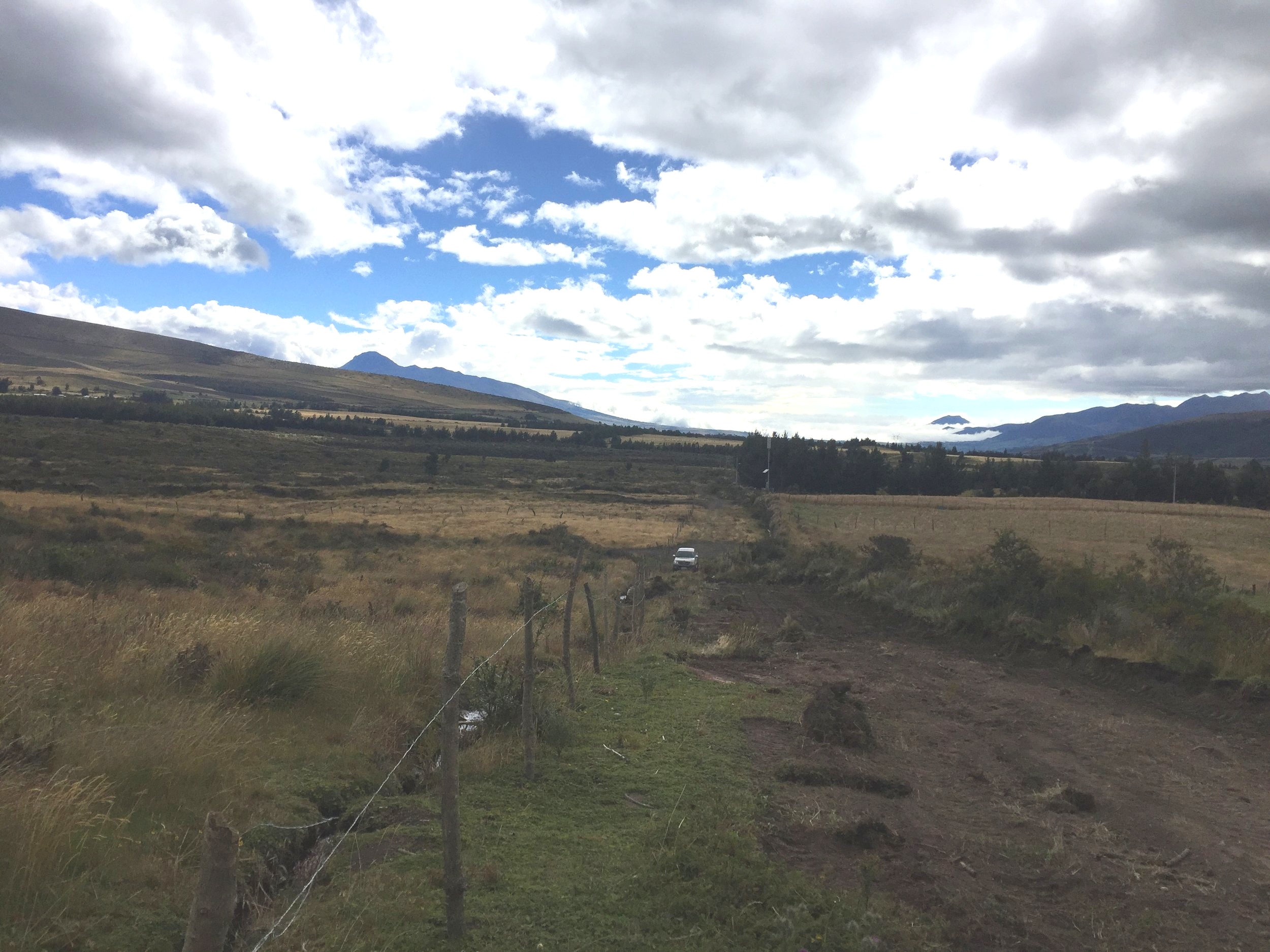
Generally, the local folks are reticent conservative people who slowly warmed up to me as I spent time with them, chatting, sharing my story and marveling at the surroundings. I offered to bring items from the US. They requested electric fence wiring (it was way too heavy to bring due to the batteries) and shoes (which we brought to them for free, about 5-6 pairs of inexpensive duck boots from Walmart). A curiosity here: all types of boots are 50-75% more expensive than in EEUU. Well, after gaining their trust via commercial goods, suddenly, we were BESTIES….and I got all the intel that needed. The most important piece of news I heard in August of 2017: the huge 1000 hectare parcel adjacent to the North Control entrance to the National Park, called Contadero, was being broken up and there were parcels for sale. Here’s a screen shot of Cotopaxi and its location in Ecuador and it shows my commute from our primary residence in Tumbaco (Quito) to Pedregal (town near our ranch). We live in Tumbaco because it’s delicious spring time weather year round and because it’s 30 min to Luca’s school. Here’s a link to Luca’s school Academia Cotopaxi (https://cotopaxi.k12.ec/).


we went to galapagos, IT LIVES UP TO THE HYPE!
Below, you can see the large parcel to be sub-divided called Contadero (full name: Contadero de San Francisco en Loreto de Pedregal). The start arrow indicates the Northern boundary of what would become our lote. Contadero is approx 1000 hectares. All points are GPS locations that I measured by hiking (trespassing) on the private land and points South into the National Park. All point are at least 3500m in elevation. I didn’t want to buy. And, given our recent arrival (1.5 yrs at that time), my inability to see the future of what I would build or what I would do and uncertainly regarding the political situation (there was a national election up coming), made me very wary of purchasing. I wanted to rent. We inquired about renting the entire 1000 hectares of Contadero—it was already rented to Lucho for $800 per month and nothing else was available. Well, we thought about it and decided to take a shot and buy some land. Negotiations began with the Chiriboga Family in January 2018 and we closed in June 2018. Hmmm…risky.

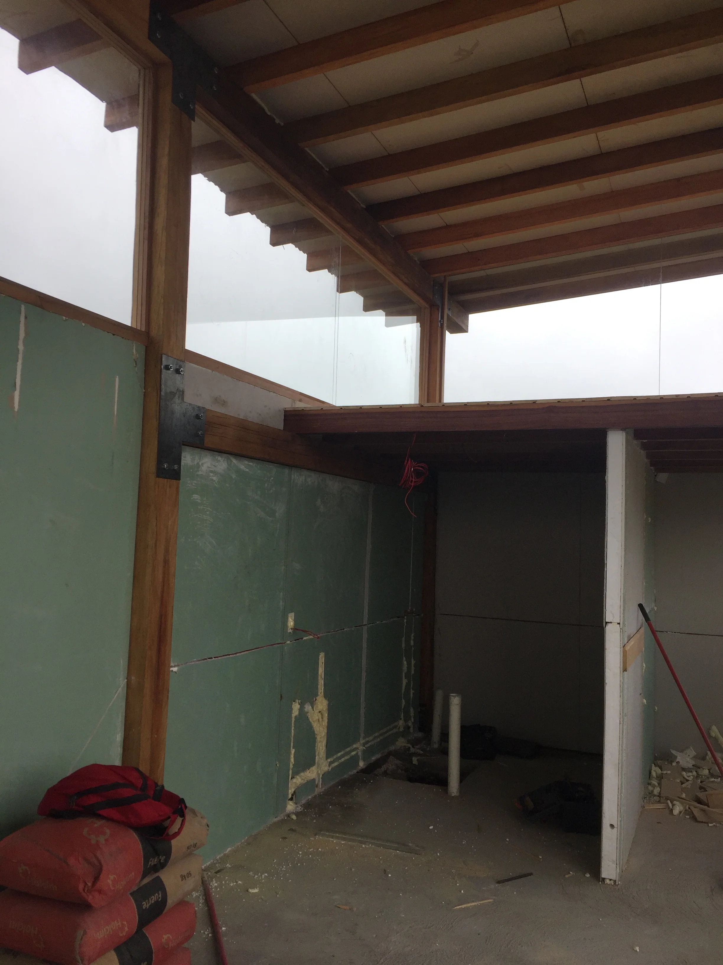
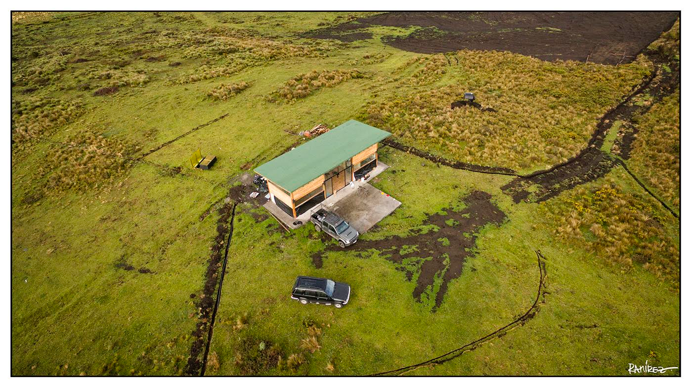
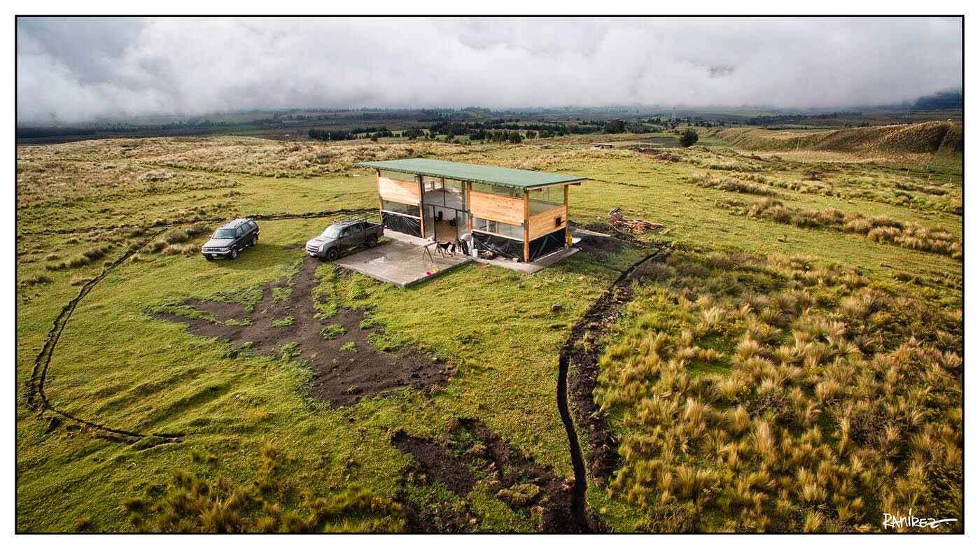
Here’s the budget for purchasing and then constructing a mini house on a barren piece of land. Later in the blog I will explain why this specific location made sense on various levels. Here are SOME of the final costs…almost 50% of the listed line items were, eventually, over the initial budget.
Items I missed/underestimated on this project: and a quick digression on WATER PUMPS, POWER GENERATORS AND ENGINEERING CHALLENGES AT 3600M ELEVATION. .
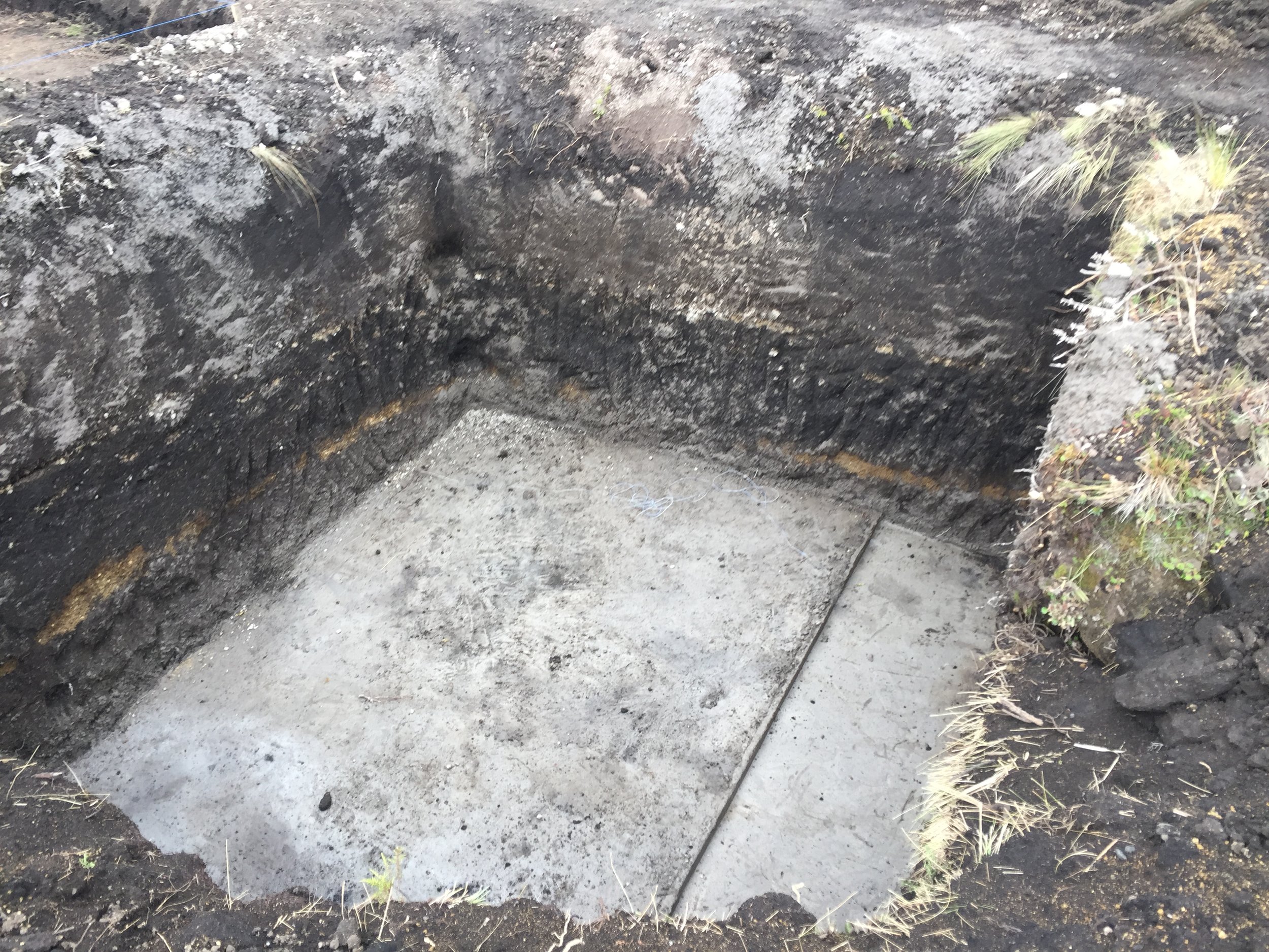
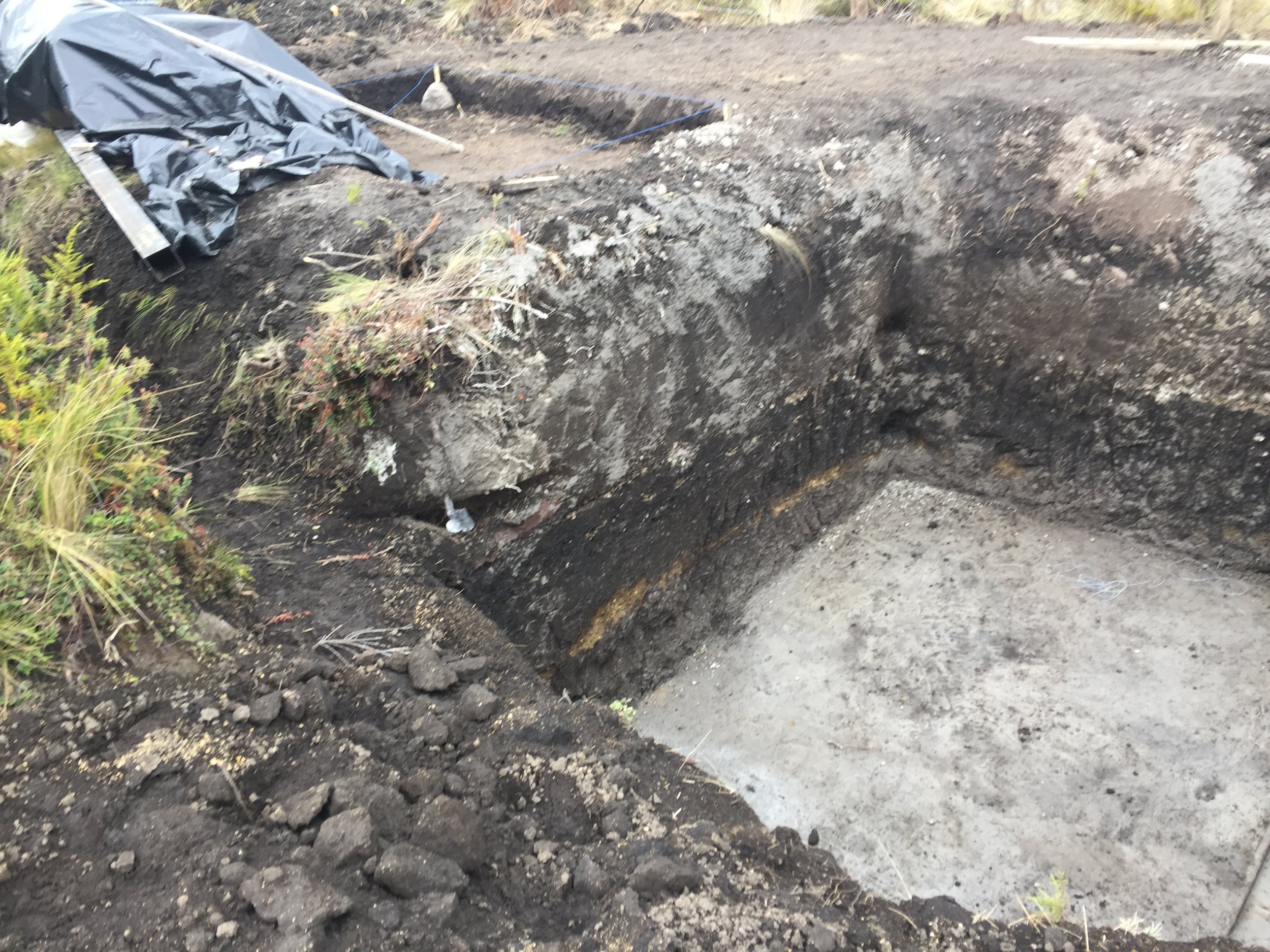
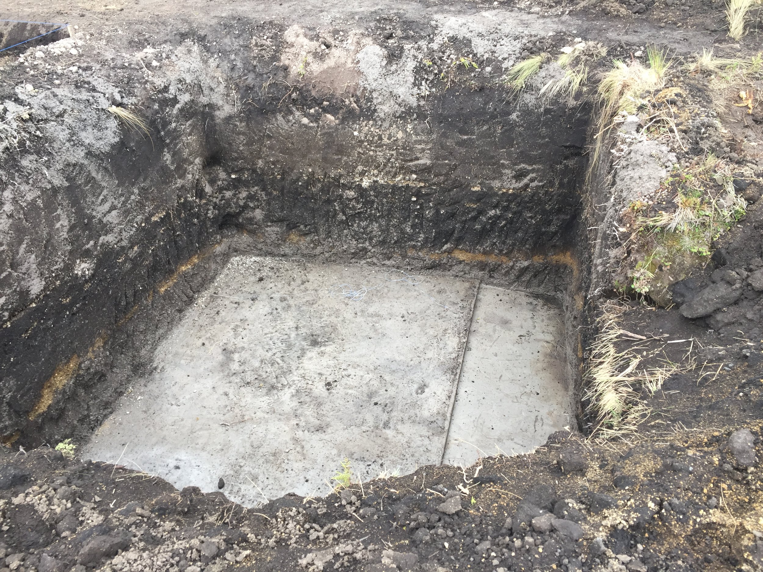
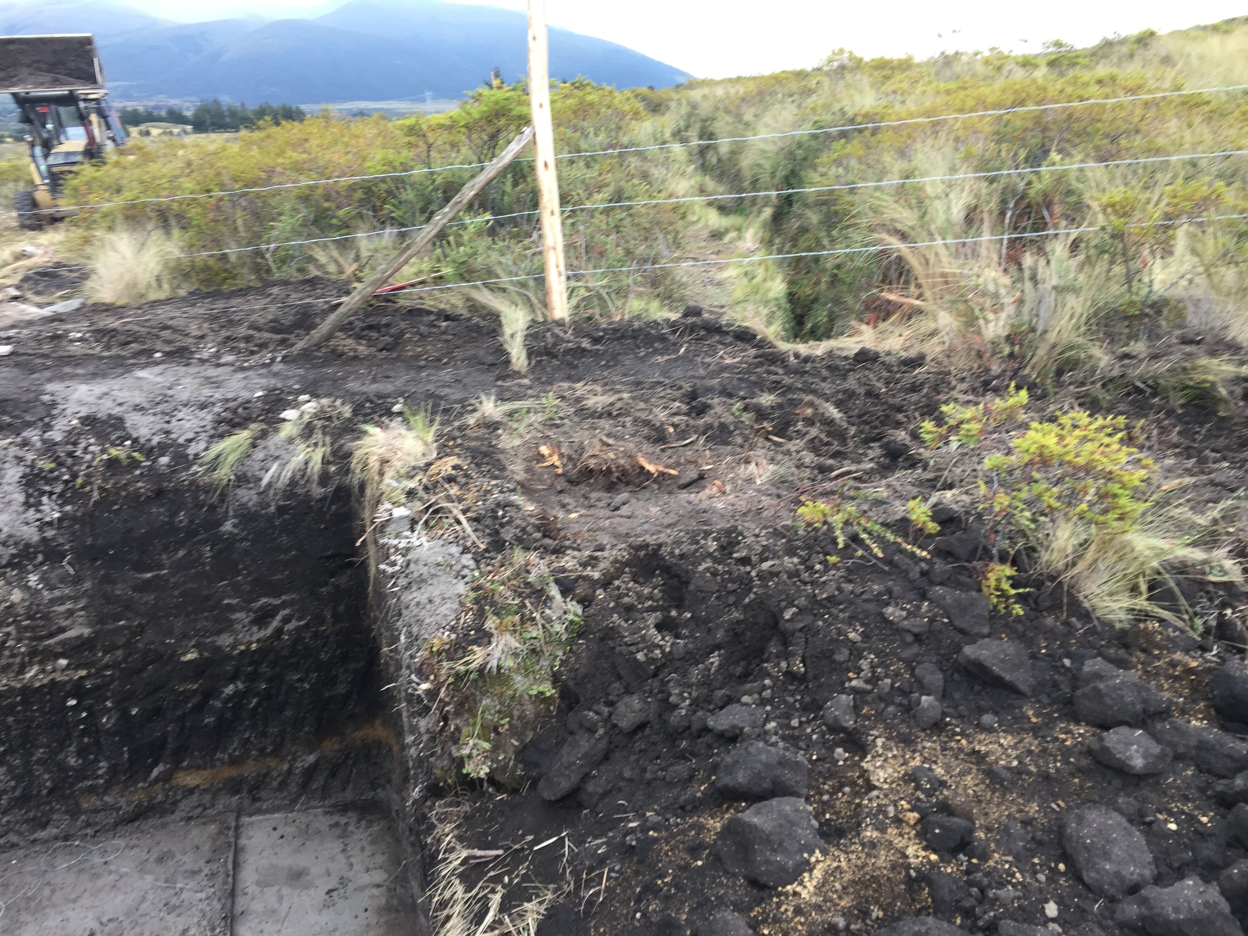
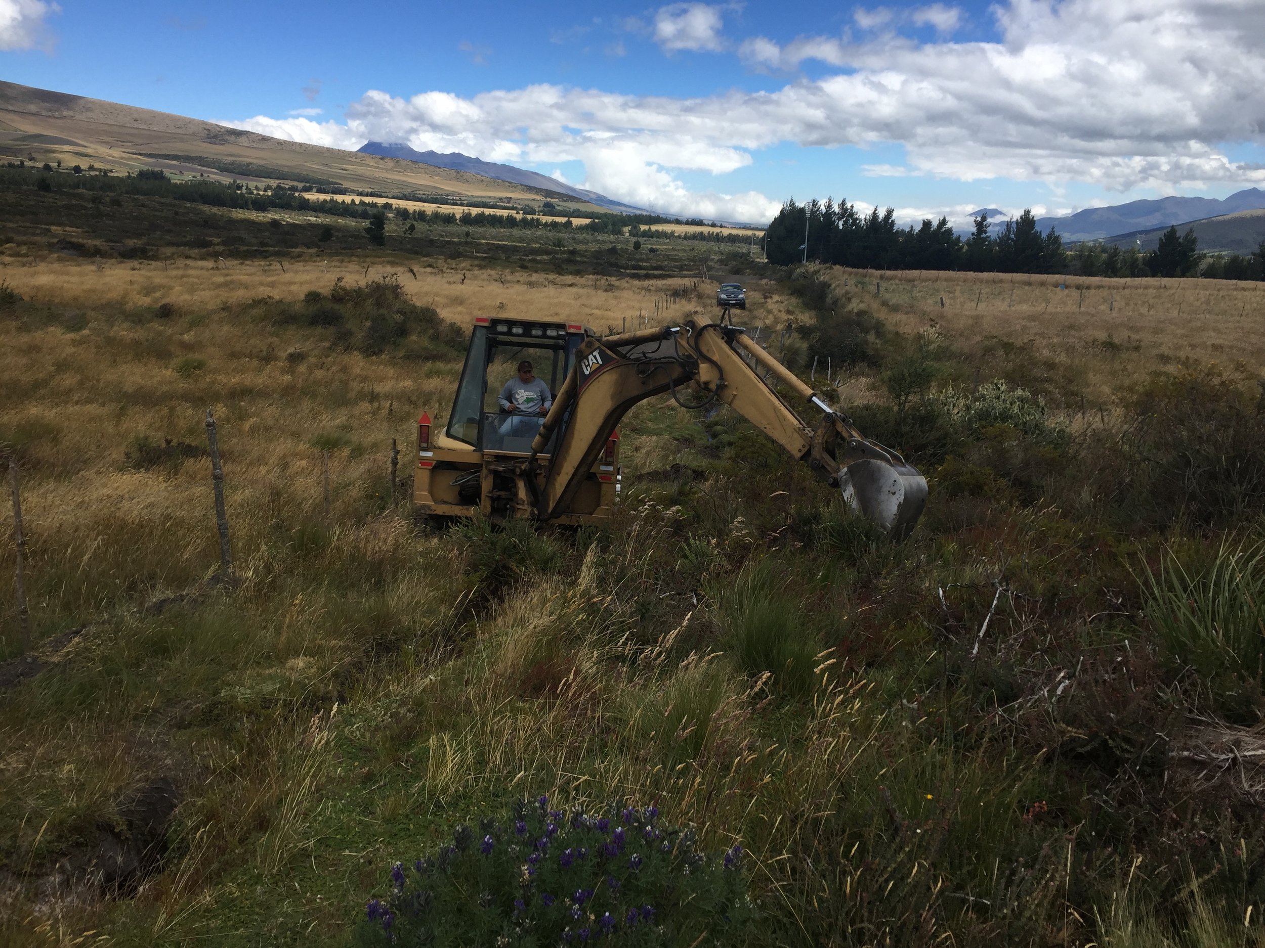
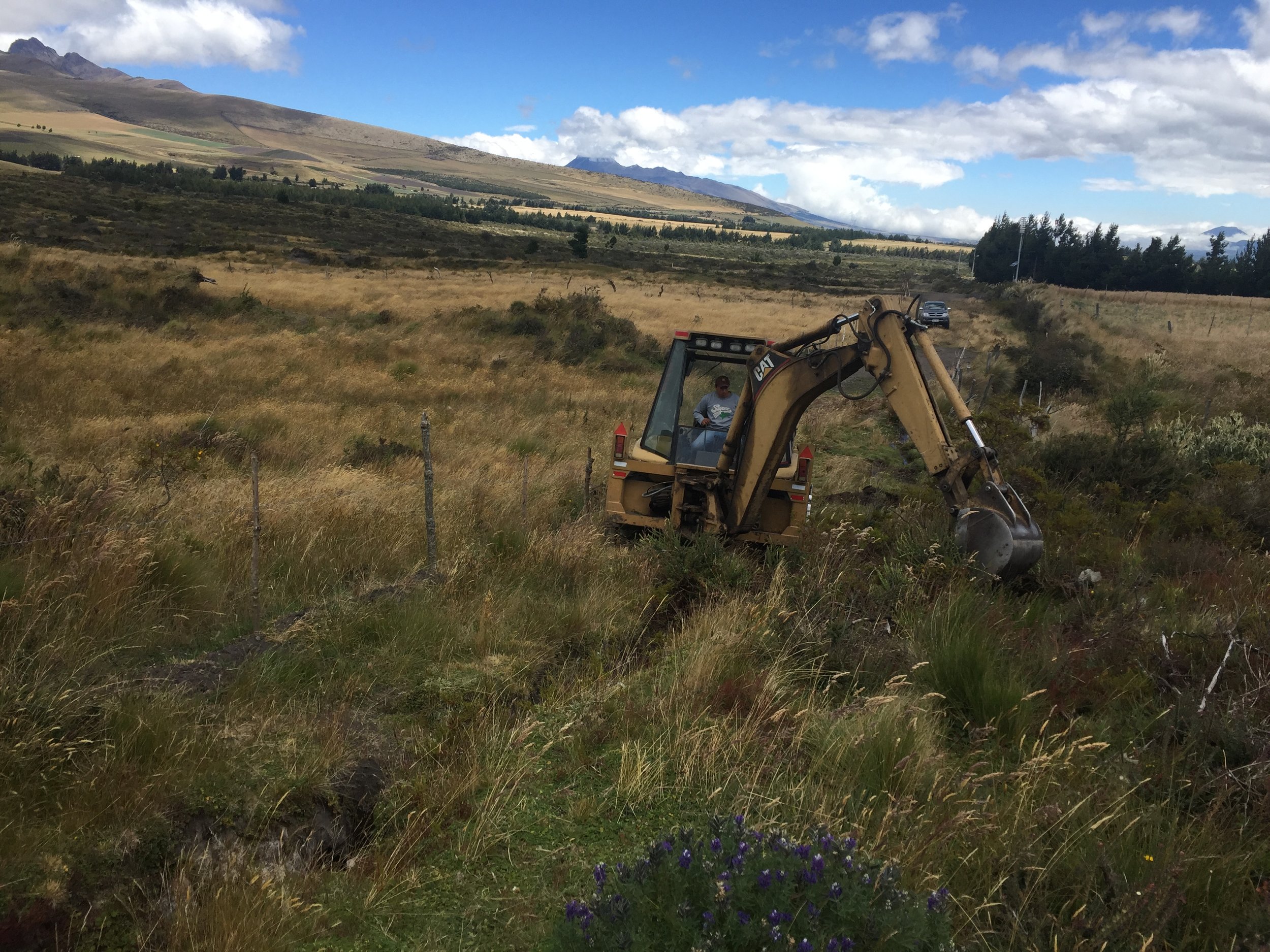
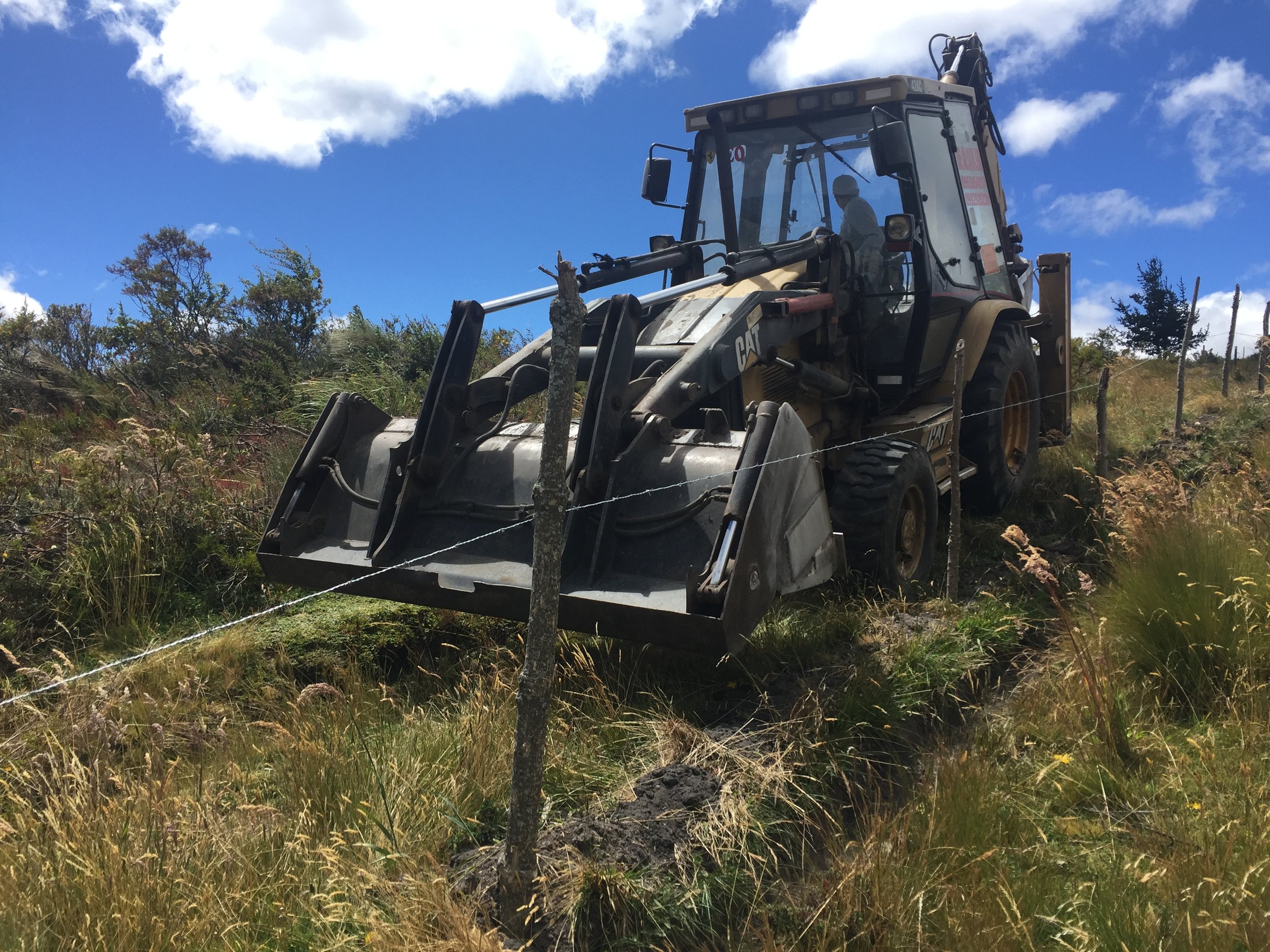
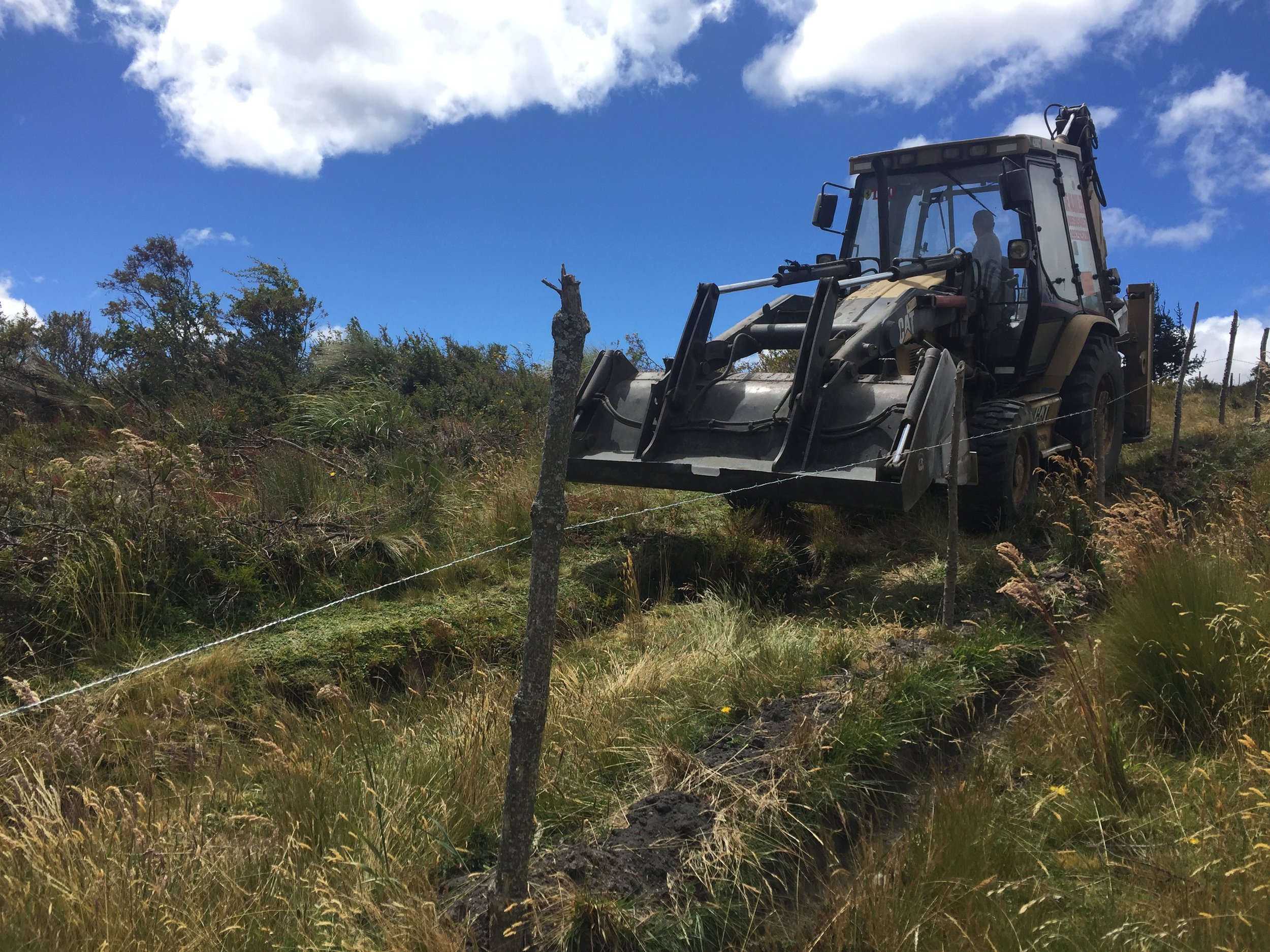
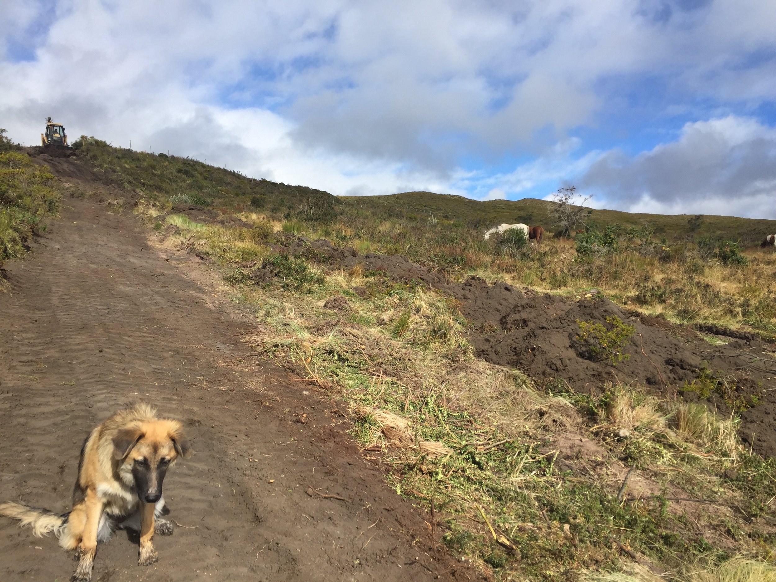
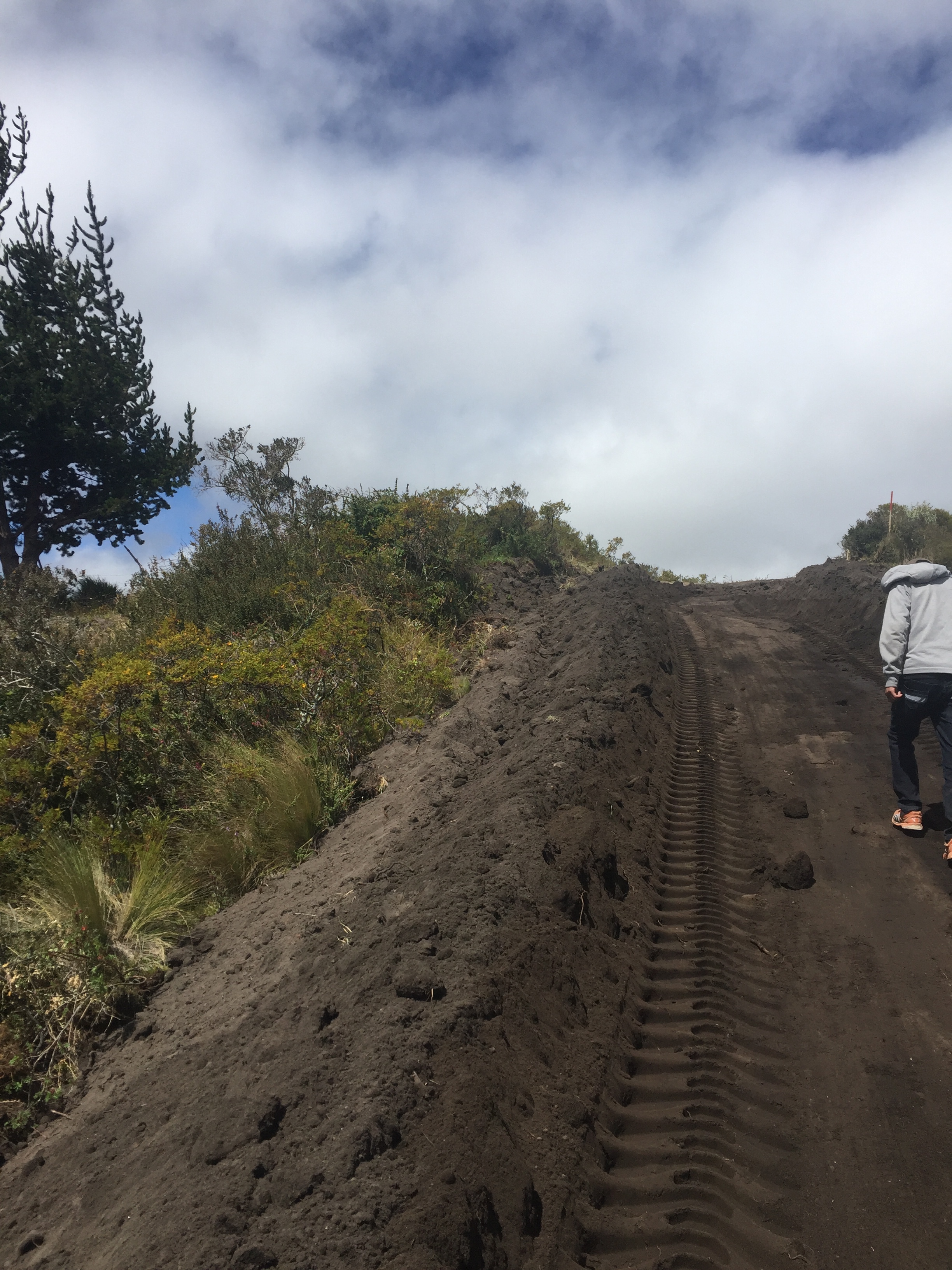
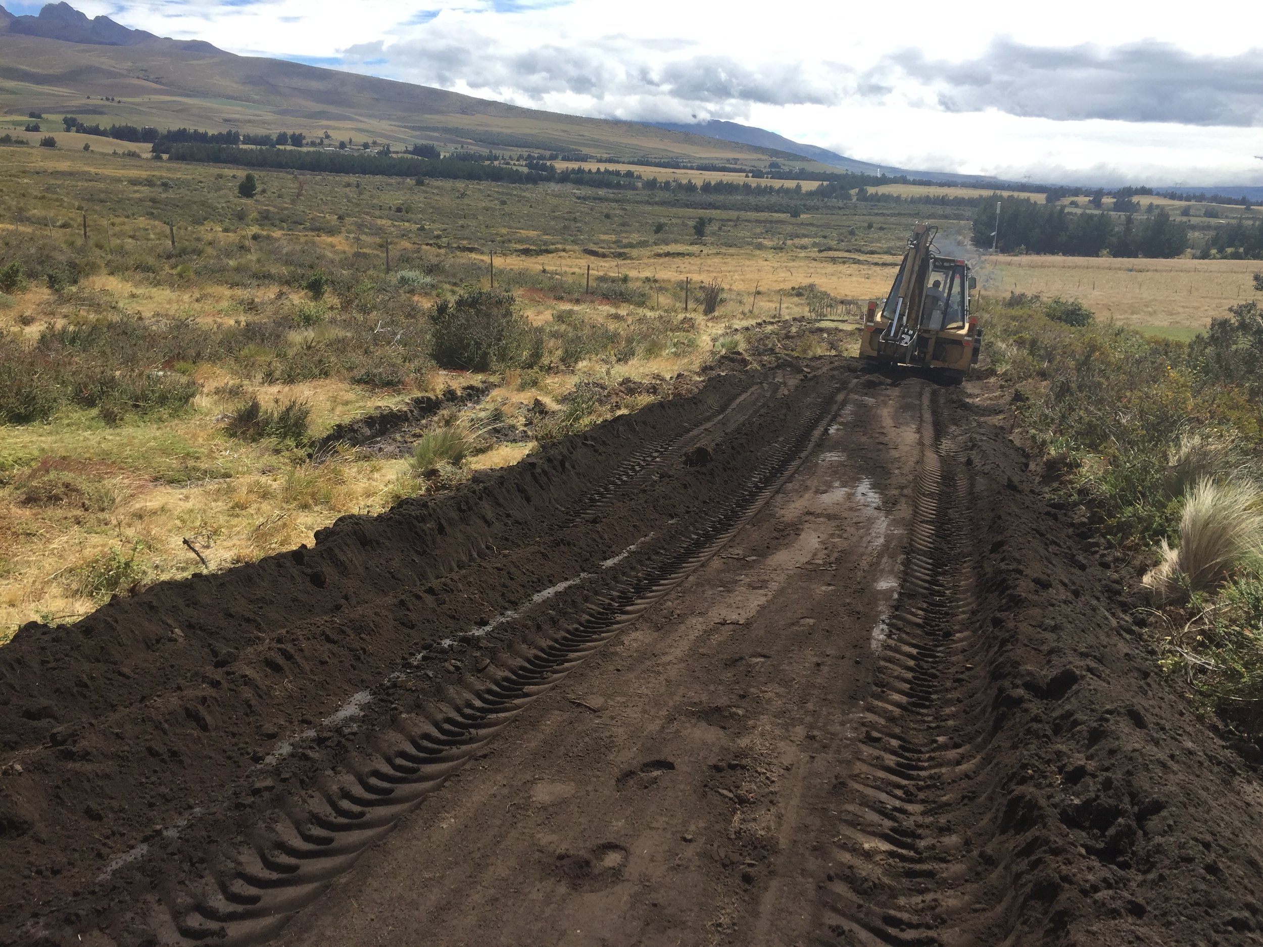
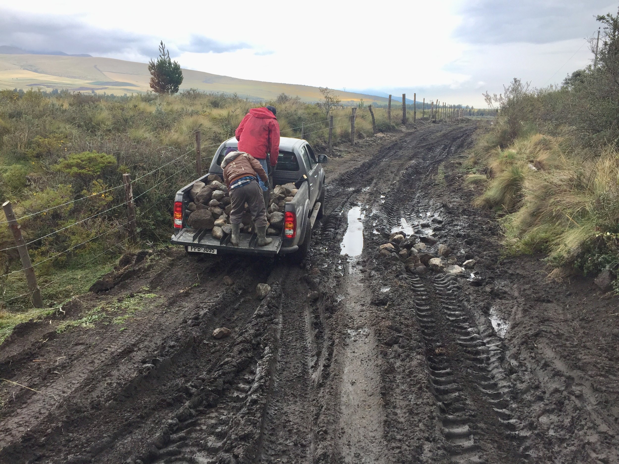
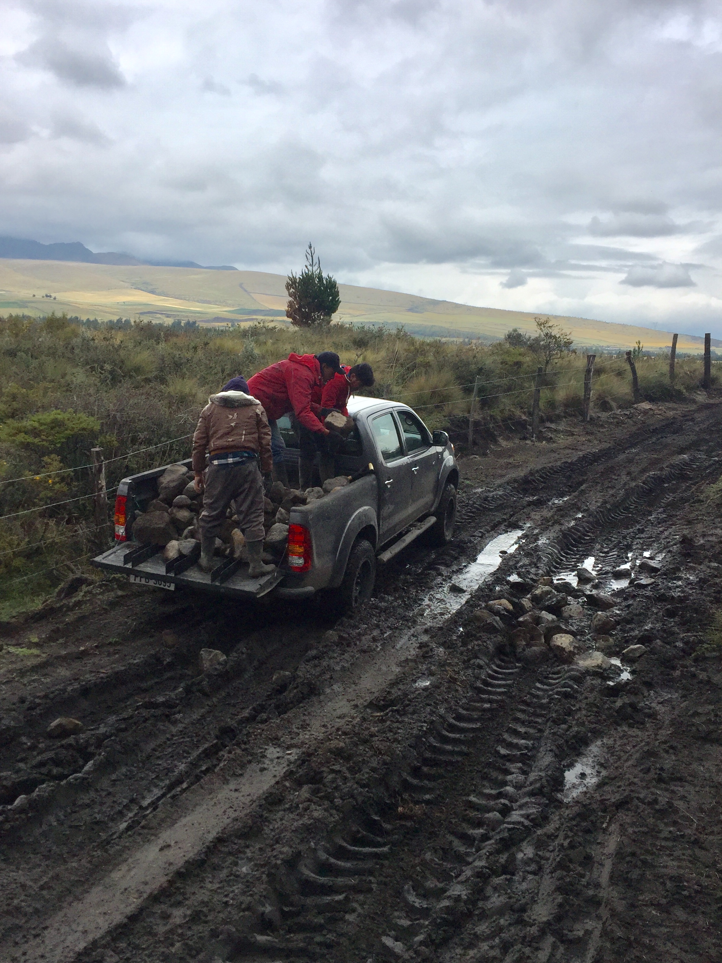
Costs to build a road (see the separate blog on that). I presumed I could build a road for around $2000, that turned out to be half the actual cost.
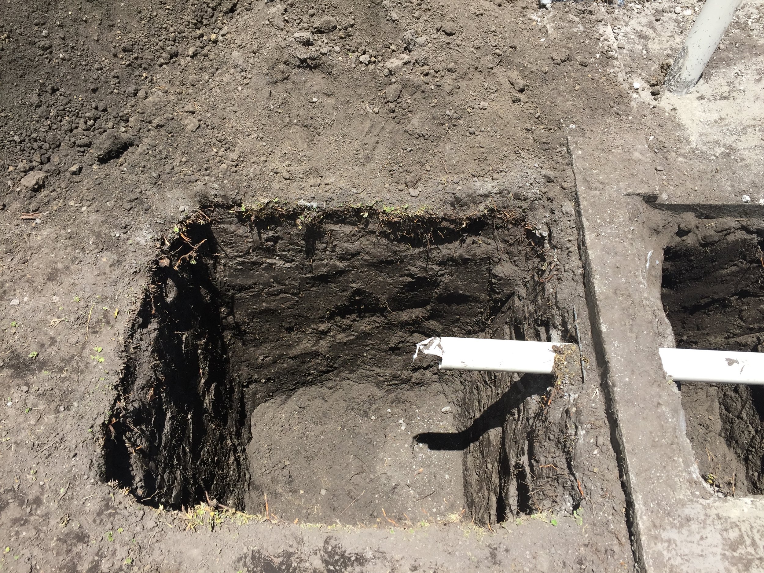
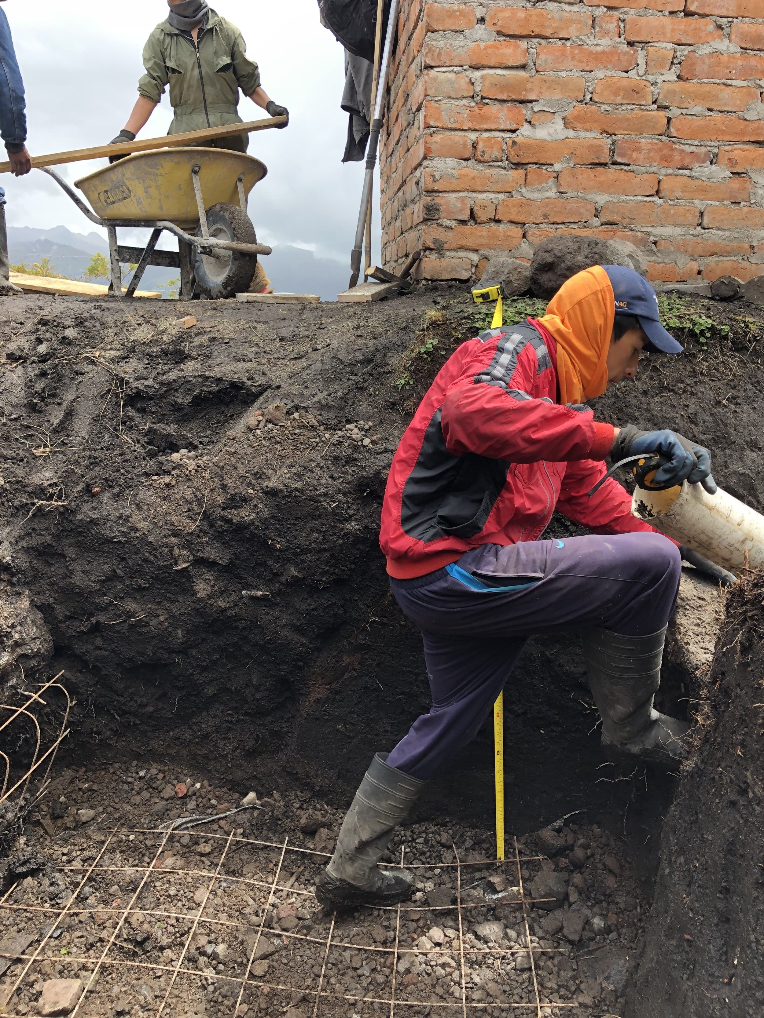
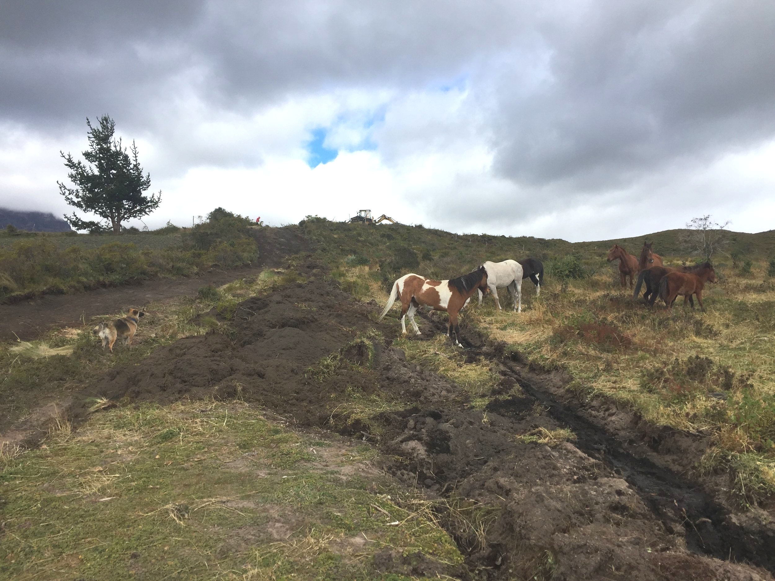
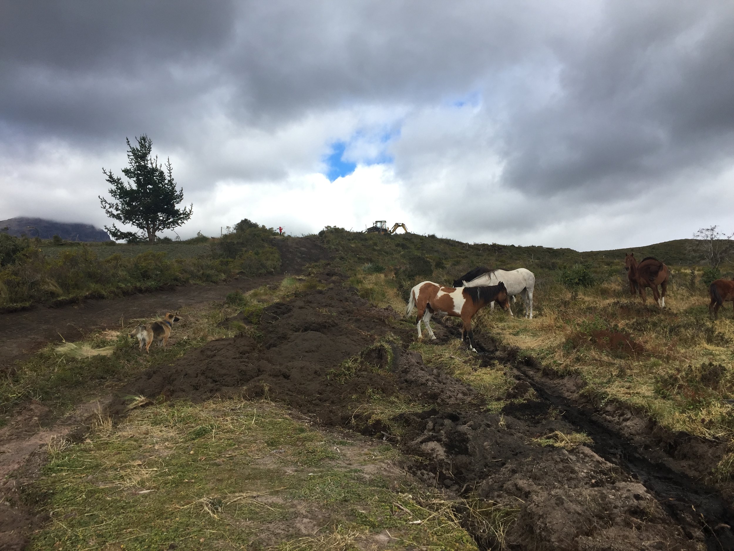
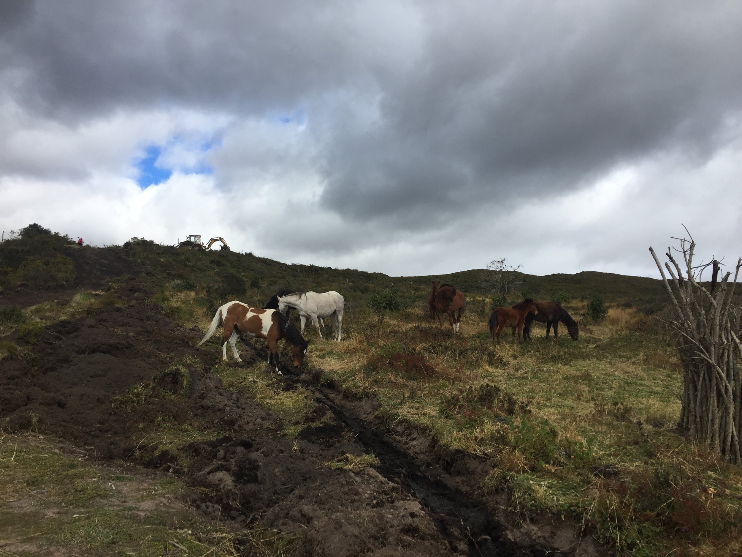
I also didn’t consider that the portreros (corrals) would require leveling so much dirt on 1 hectare that it would take 1.5 weeks with a heavy machinery (earth mover with giant trucks providing support). That turned out to be another $4000 that was NOT in the budget. AAAHH.
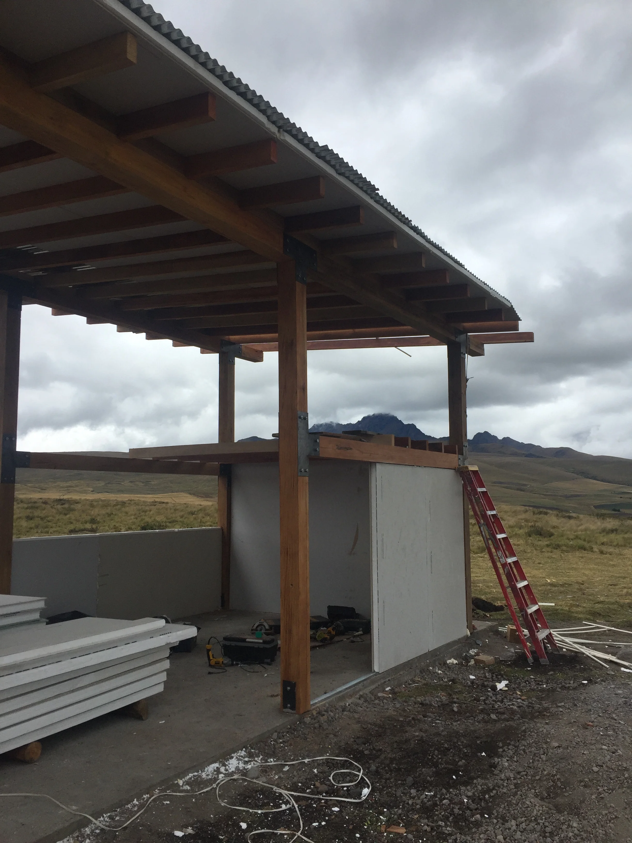
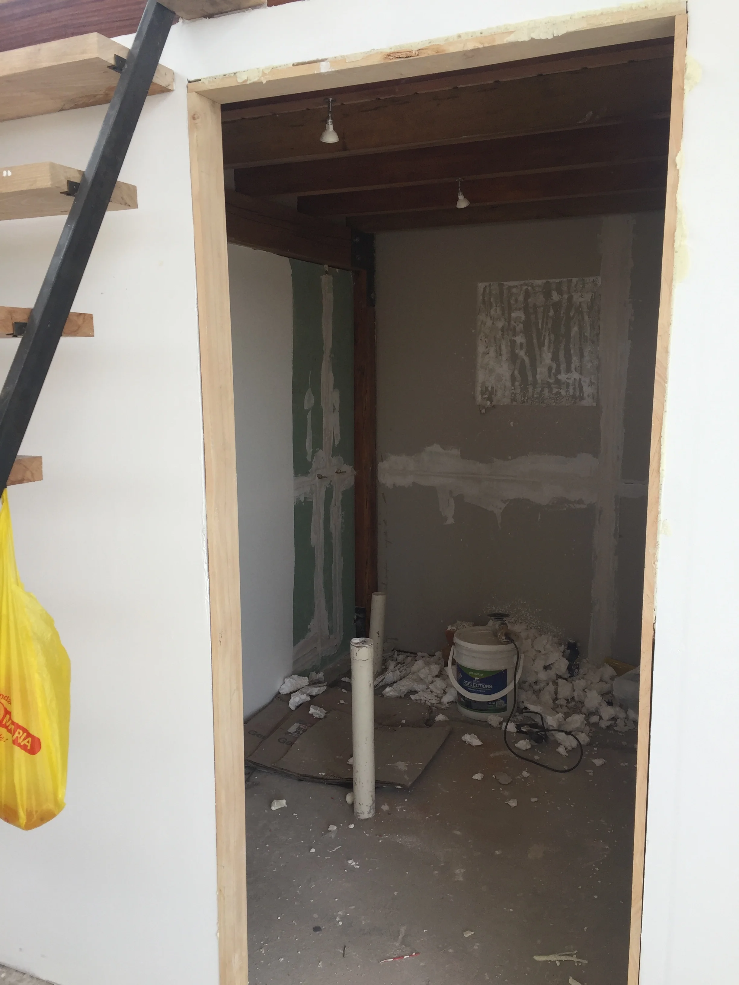
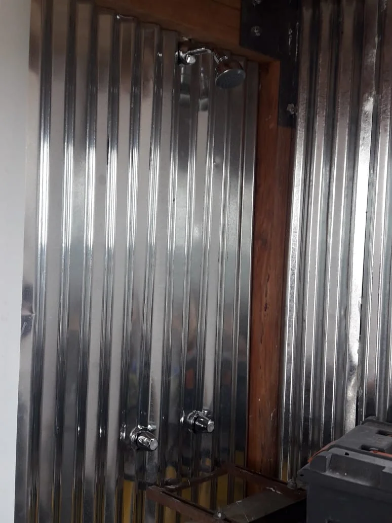
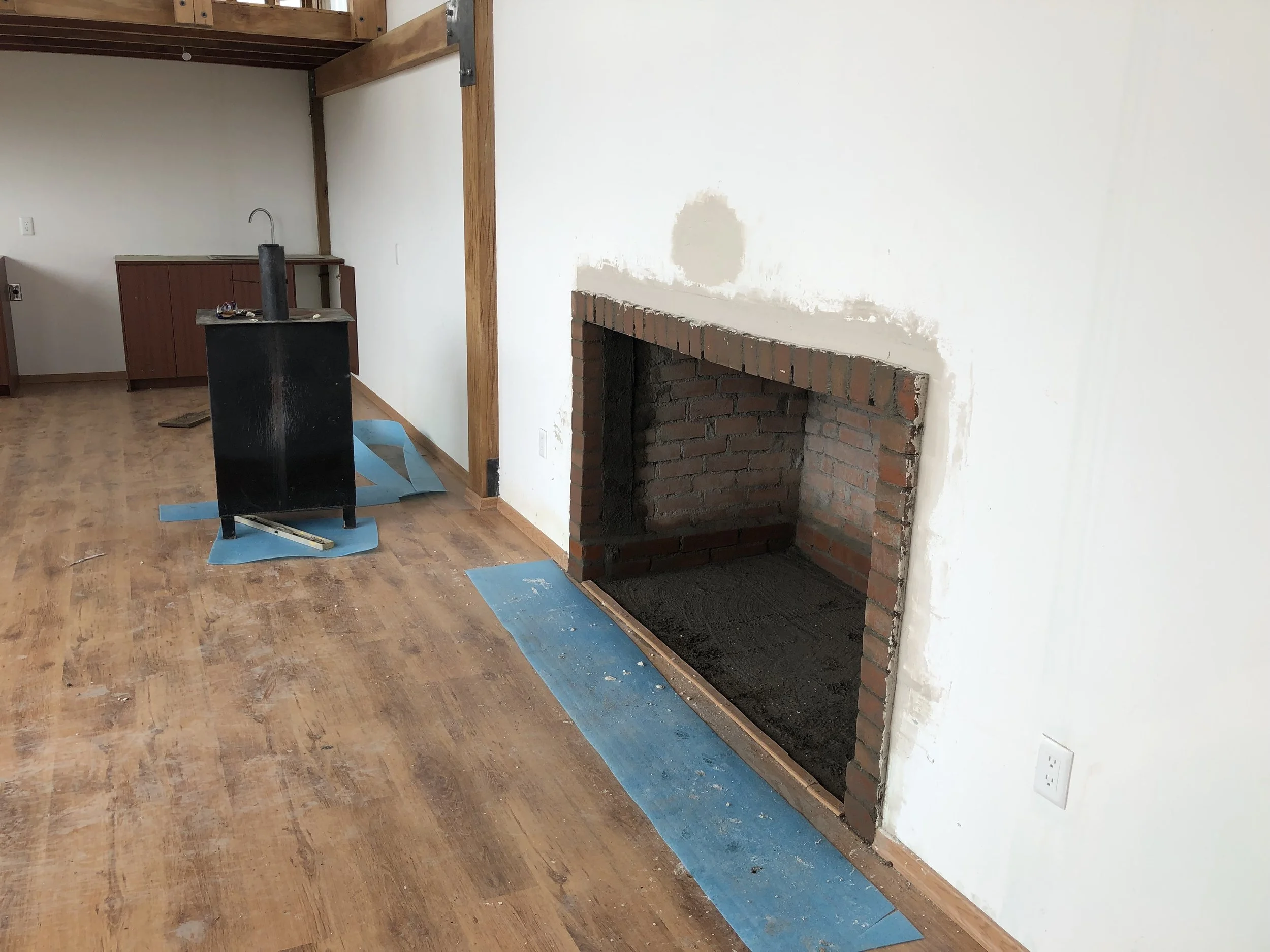
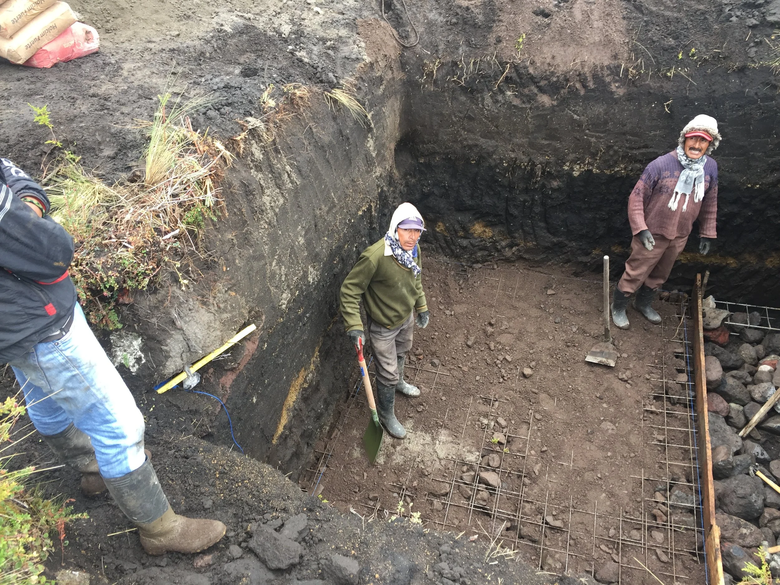
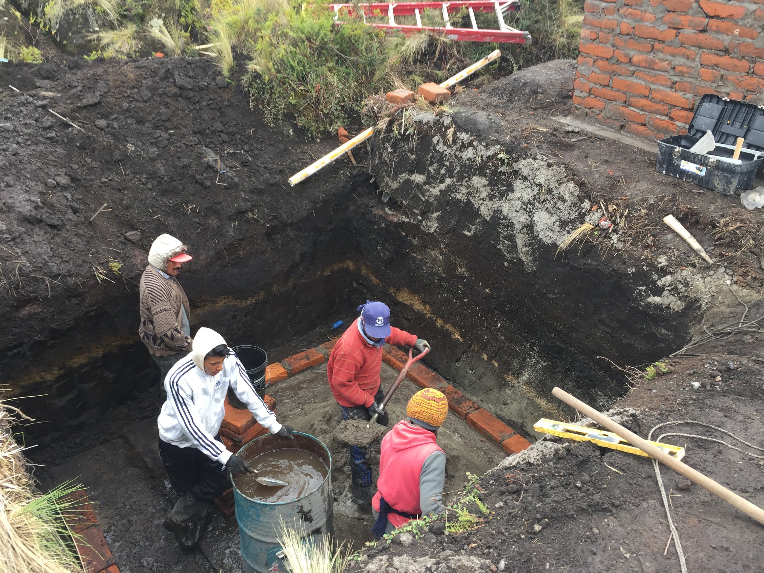
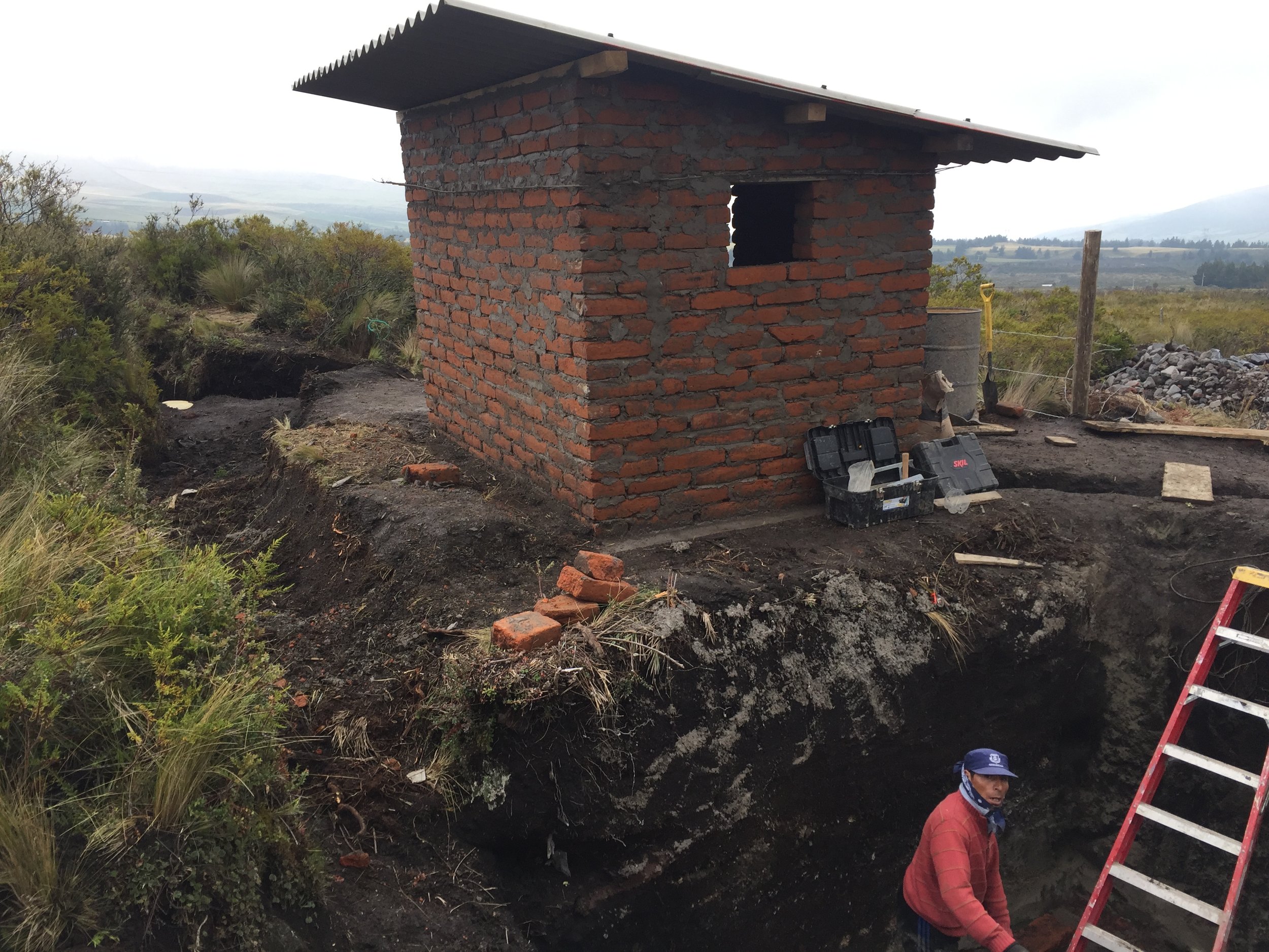
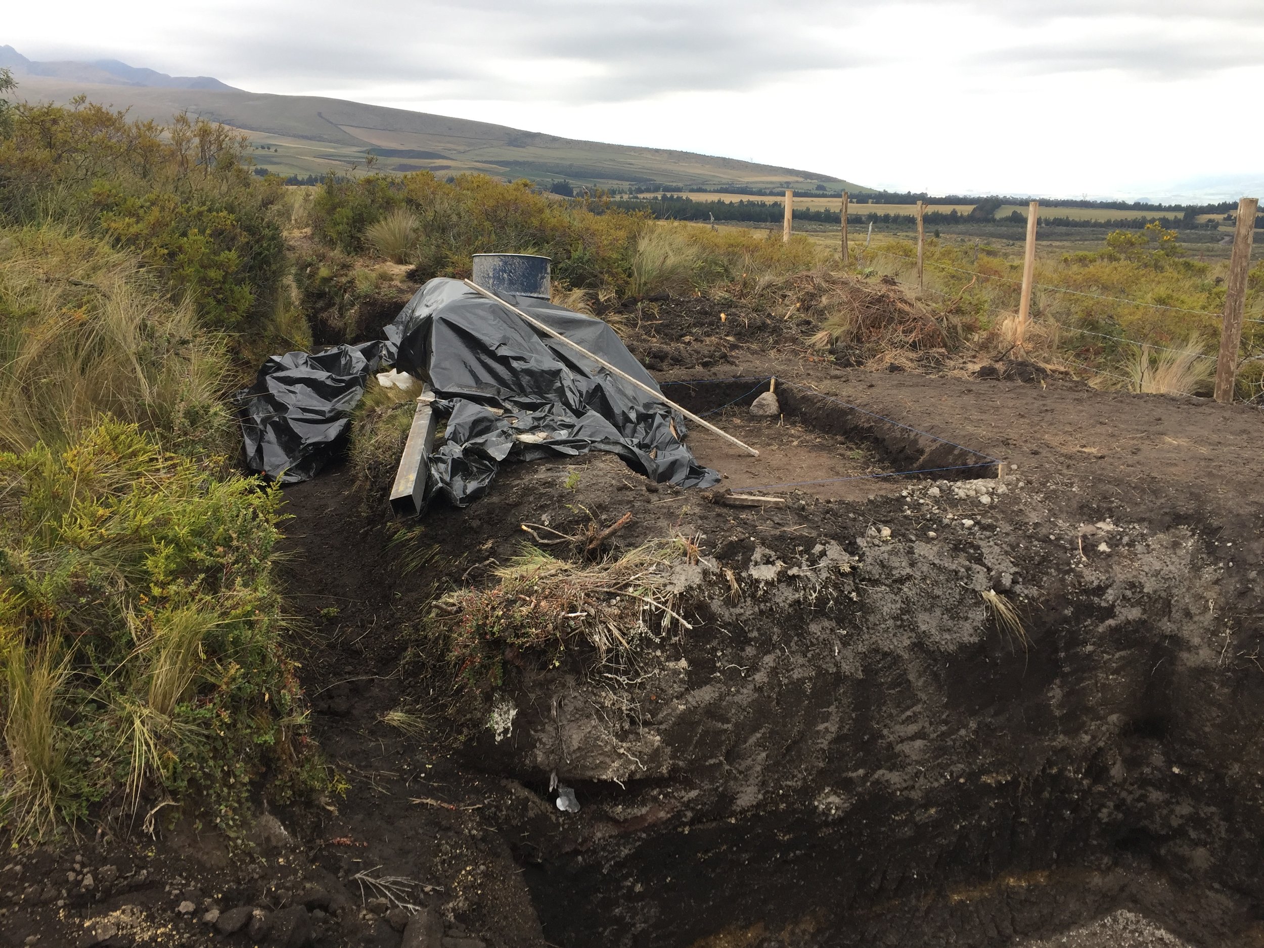
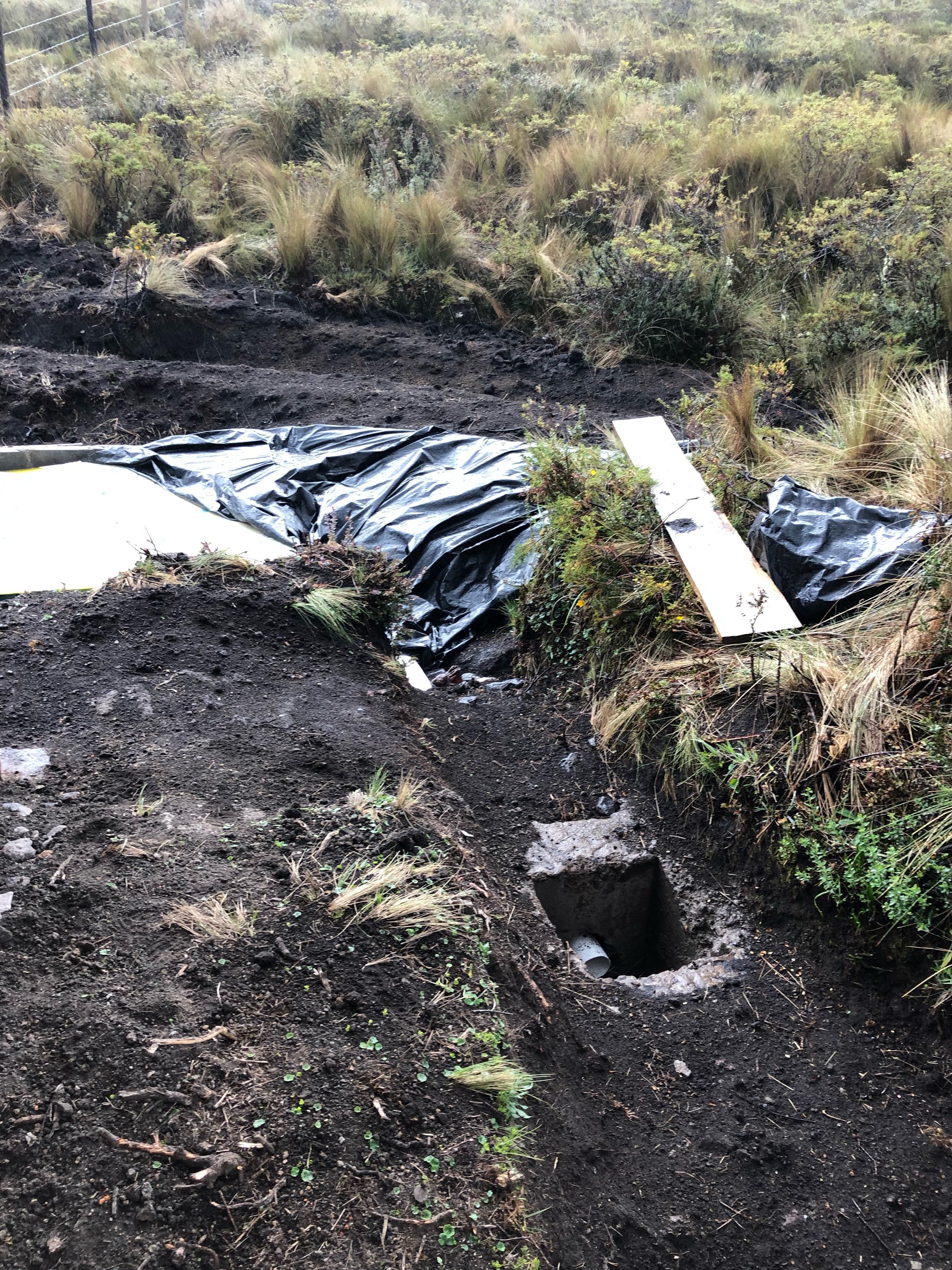
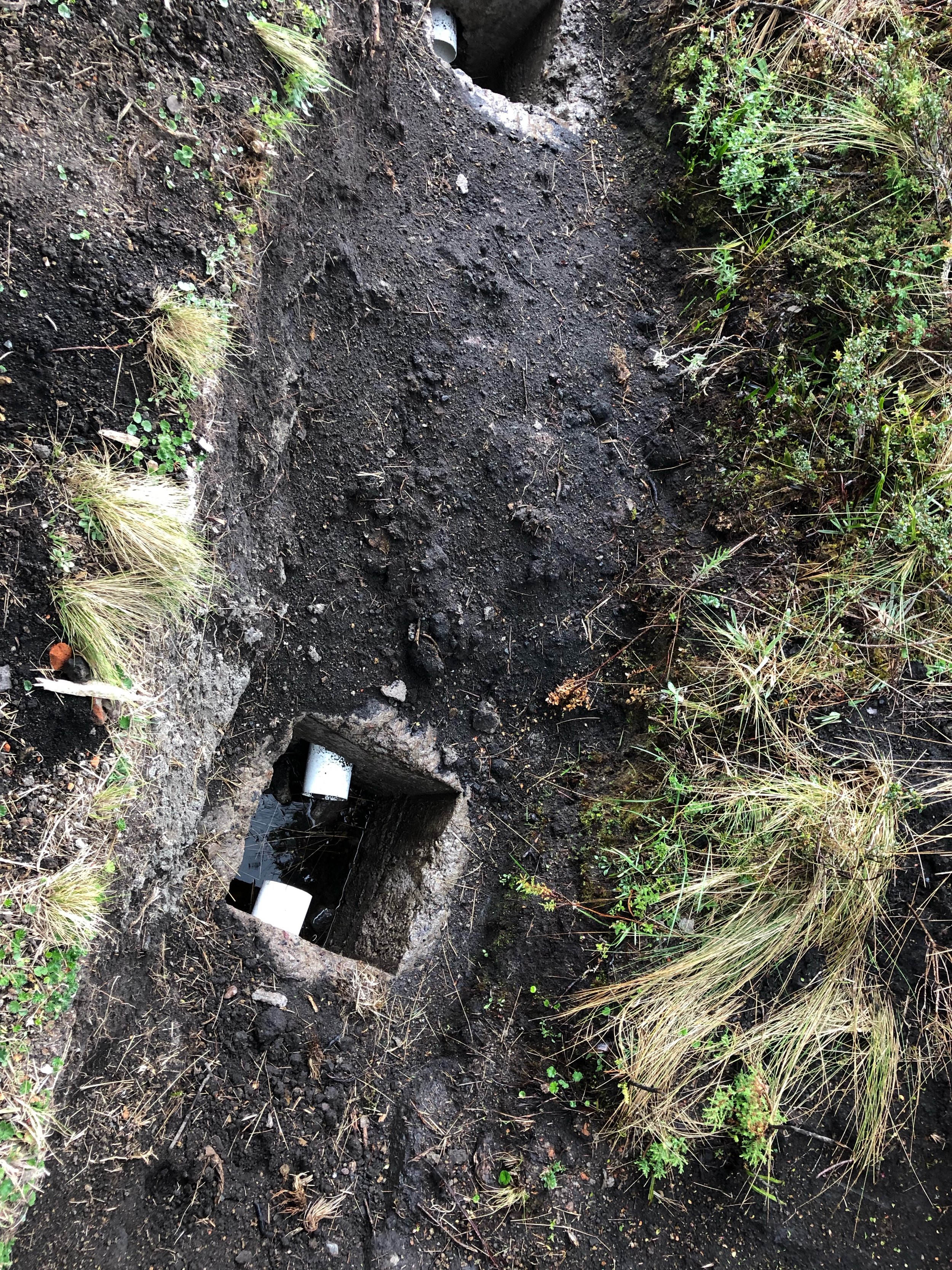
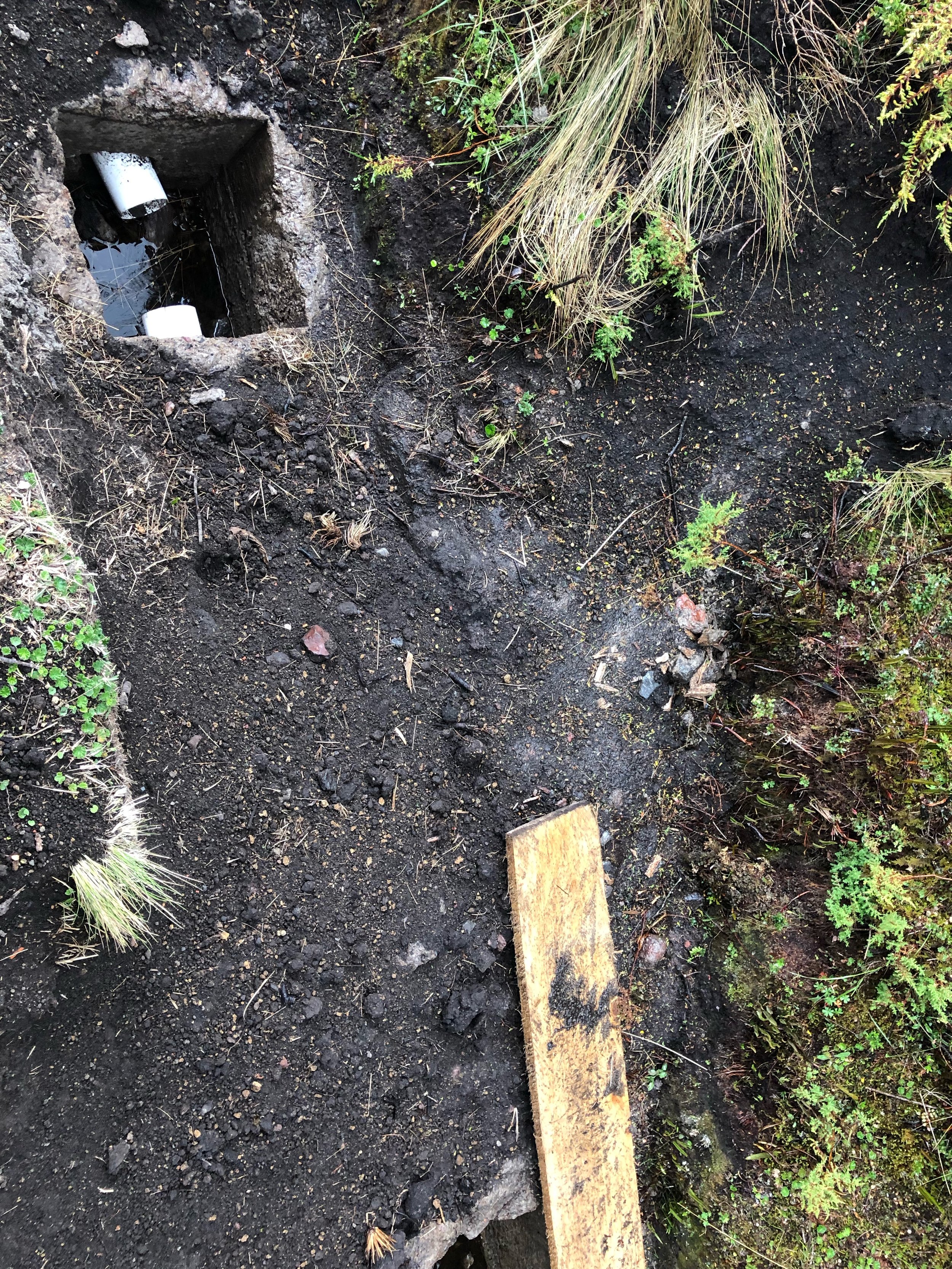
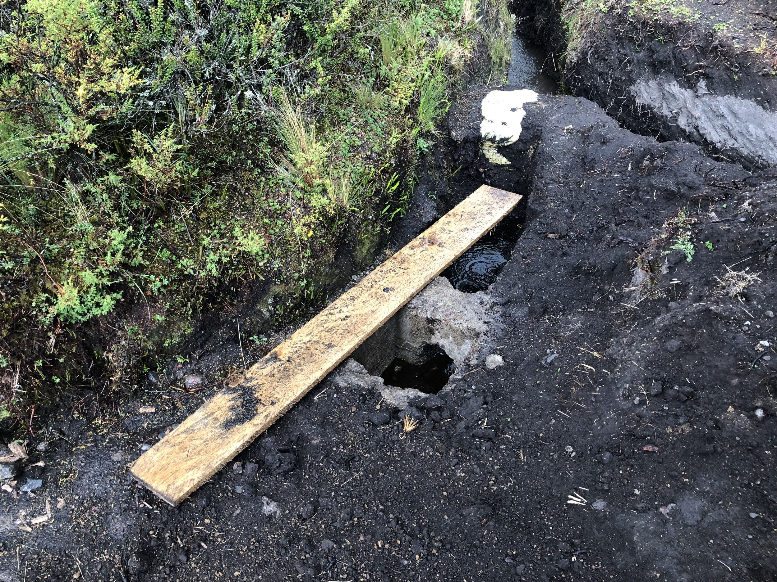
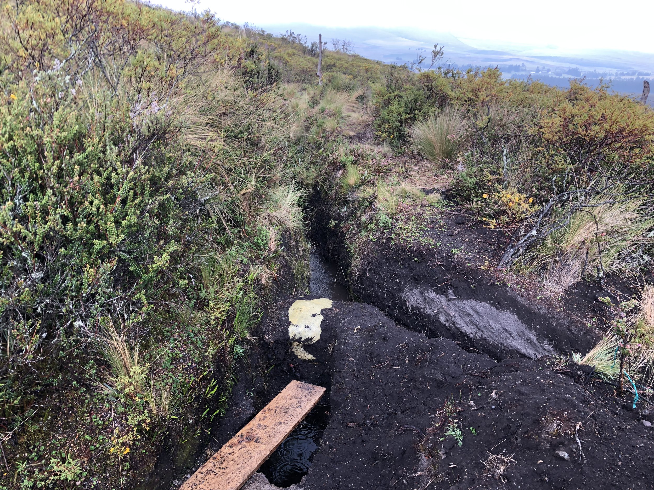
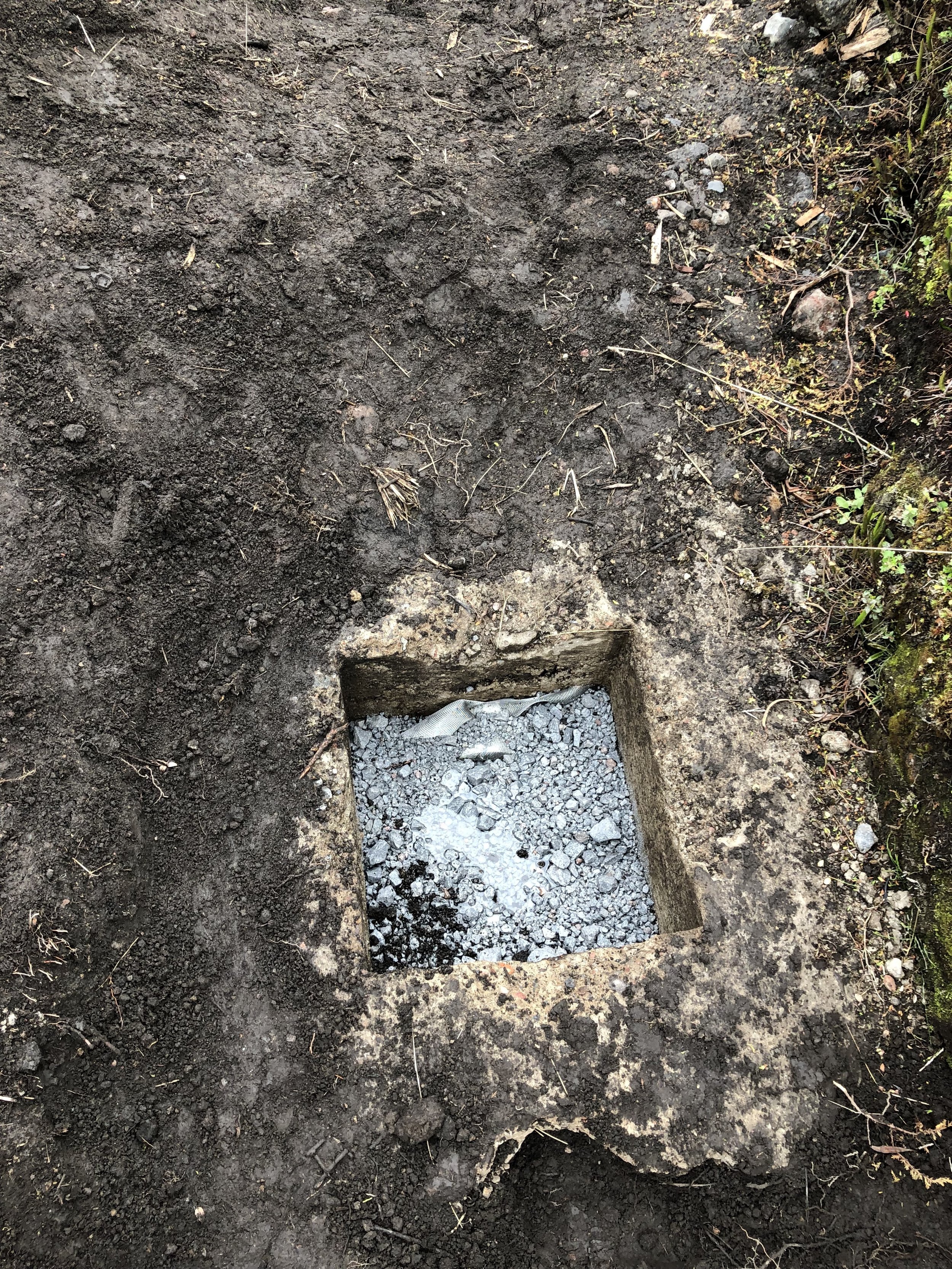
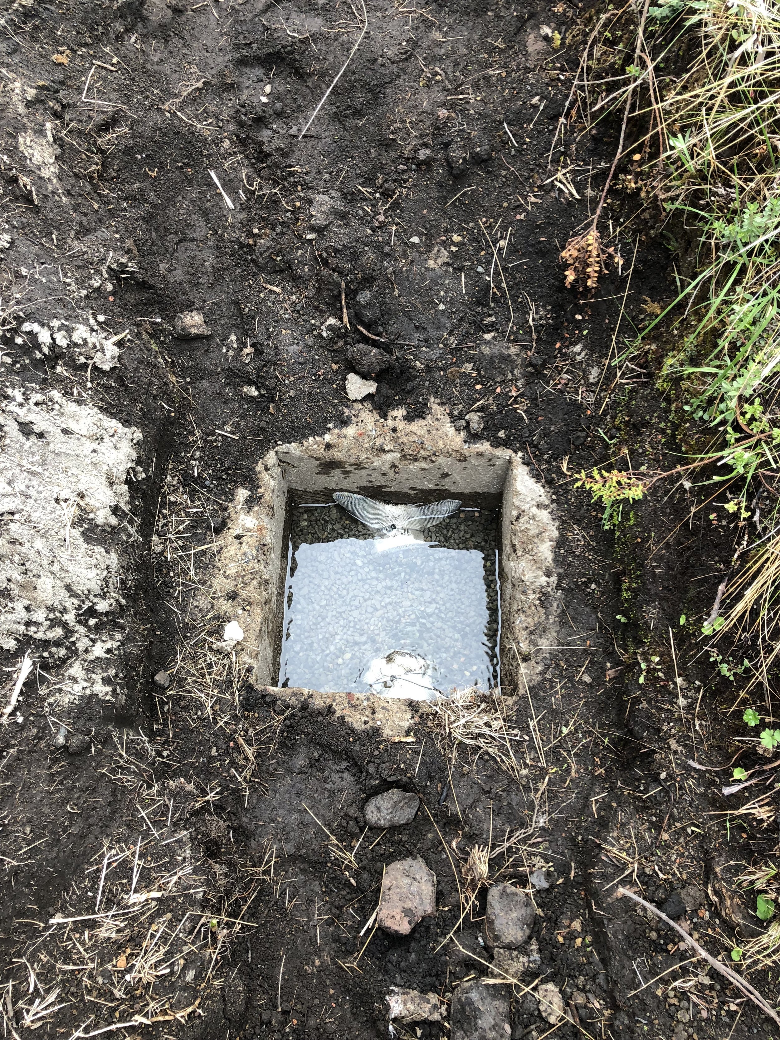
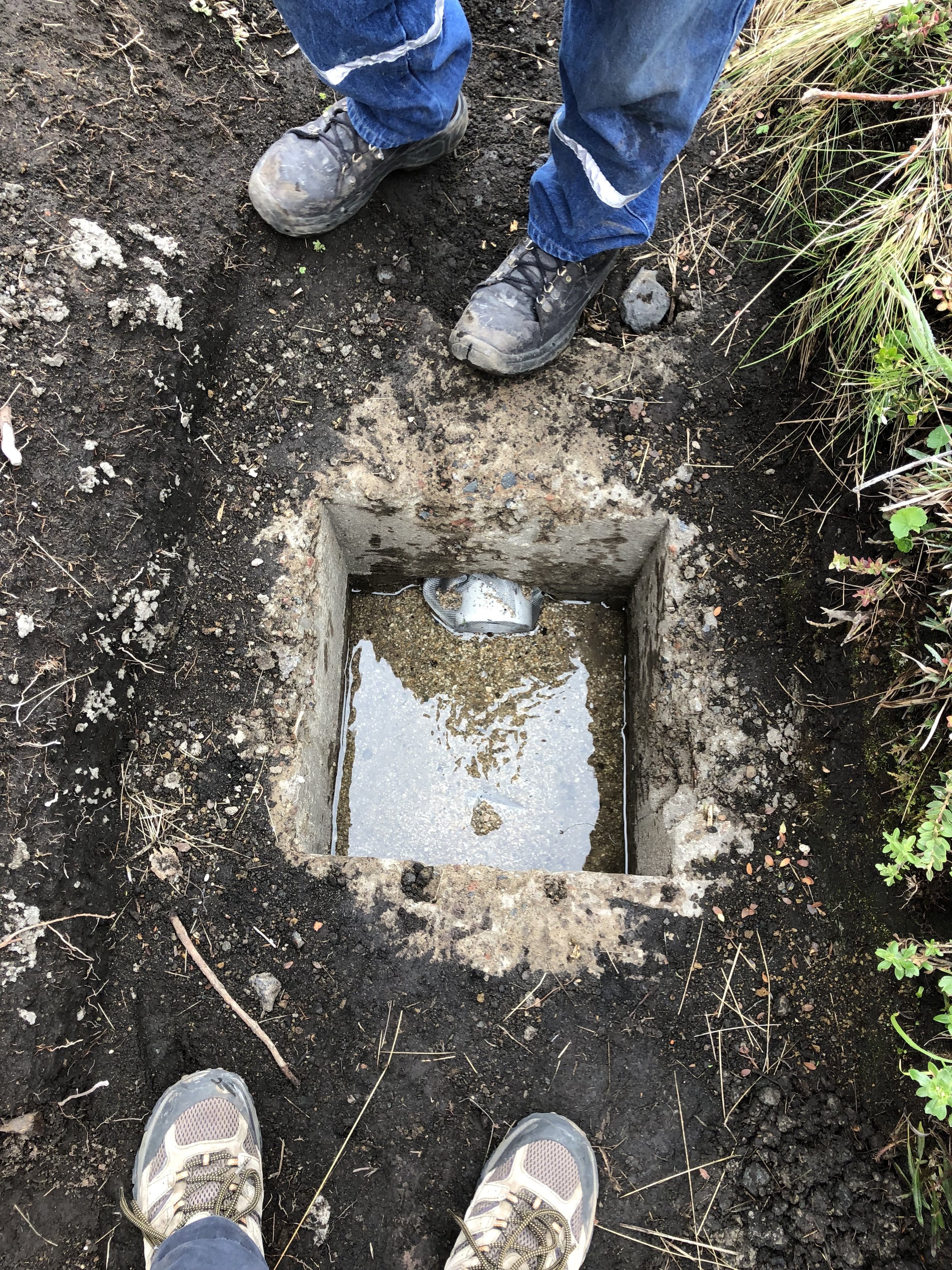
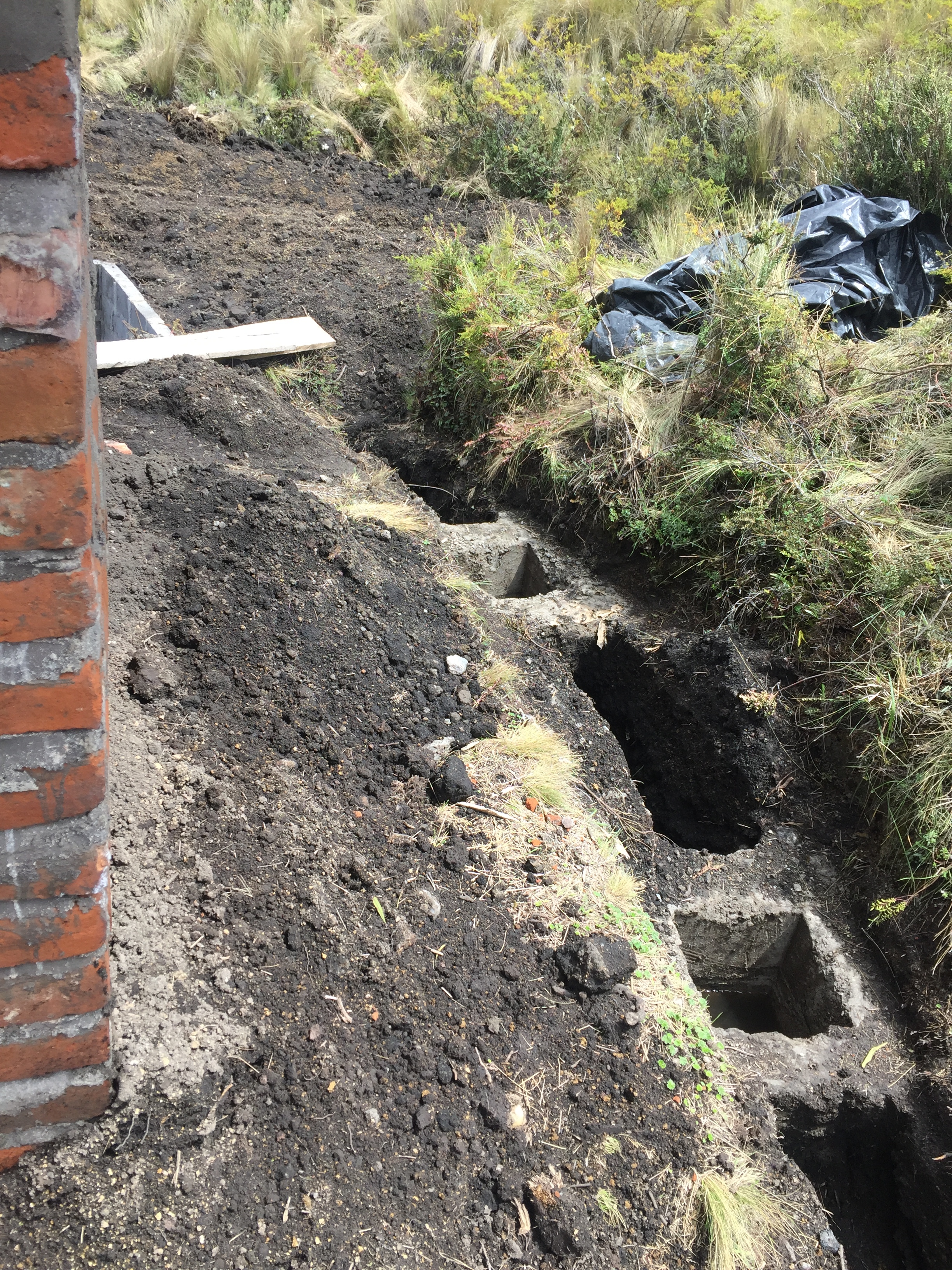
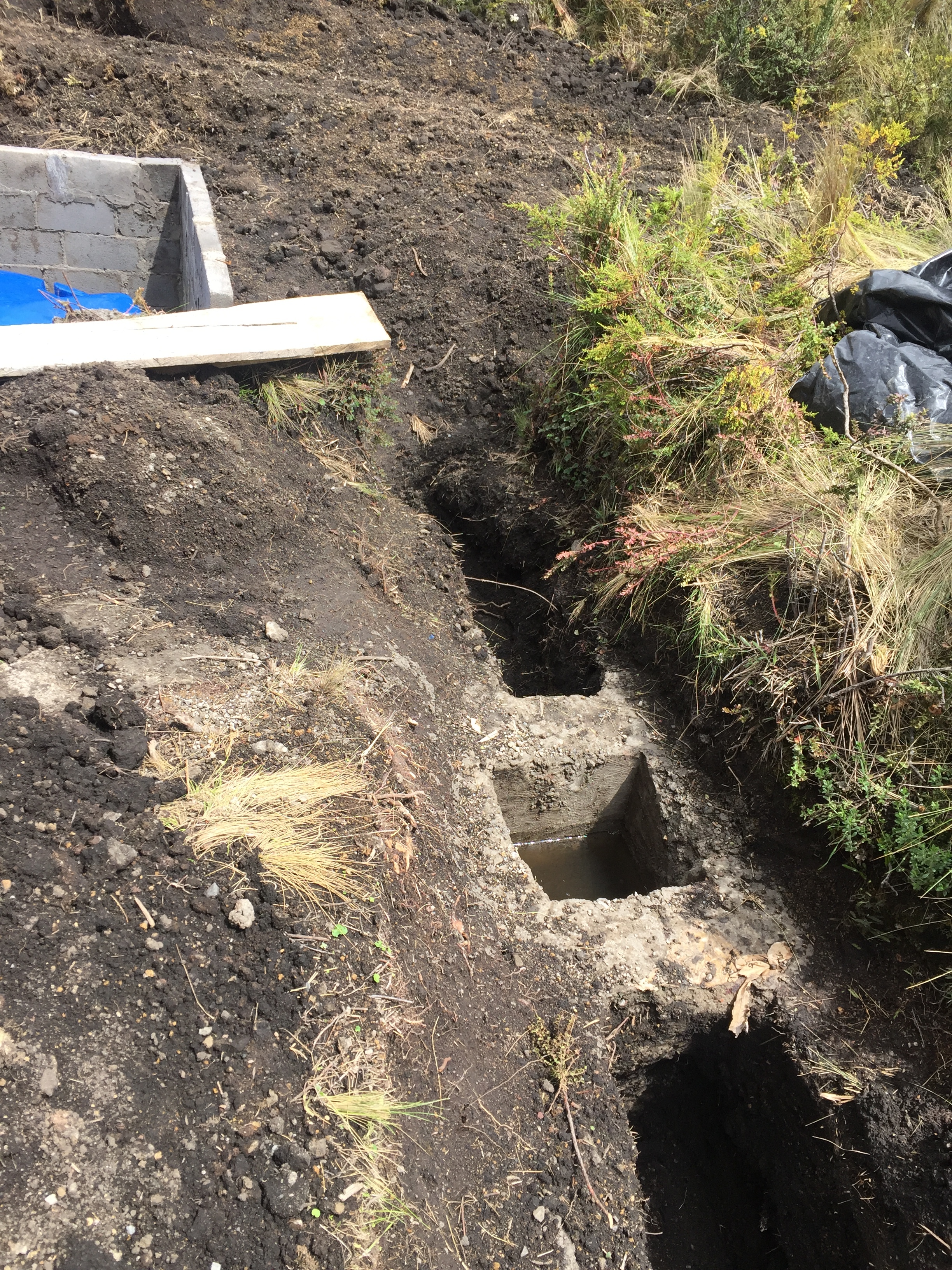
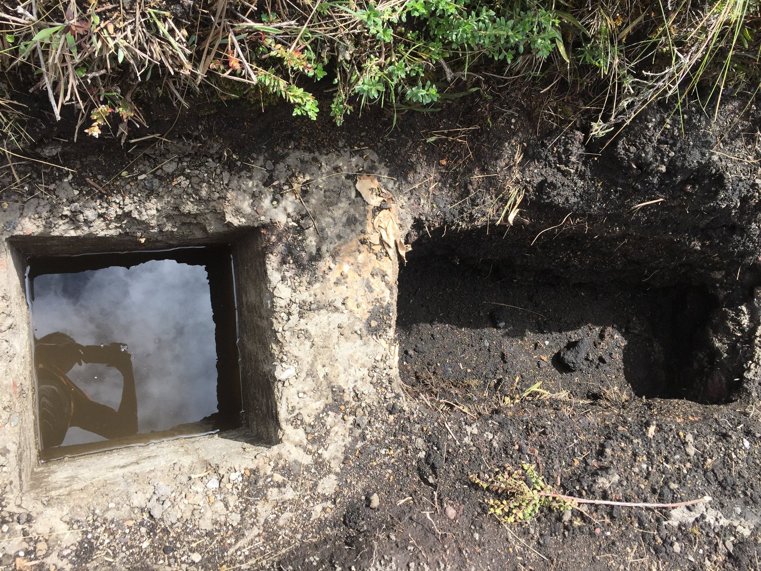
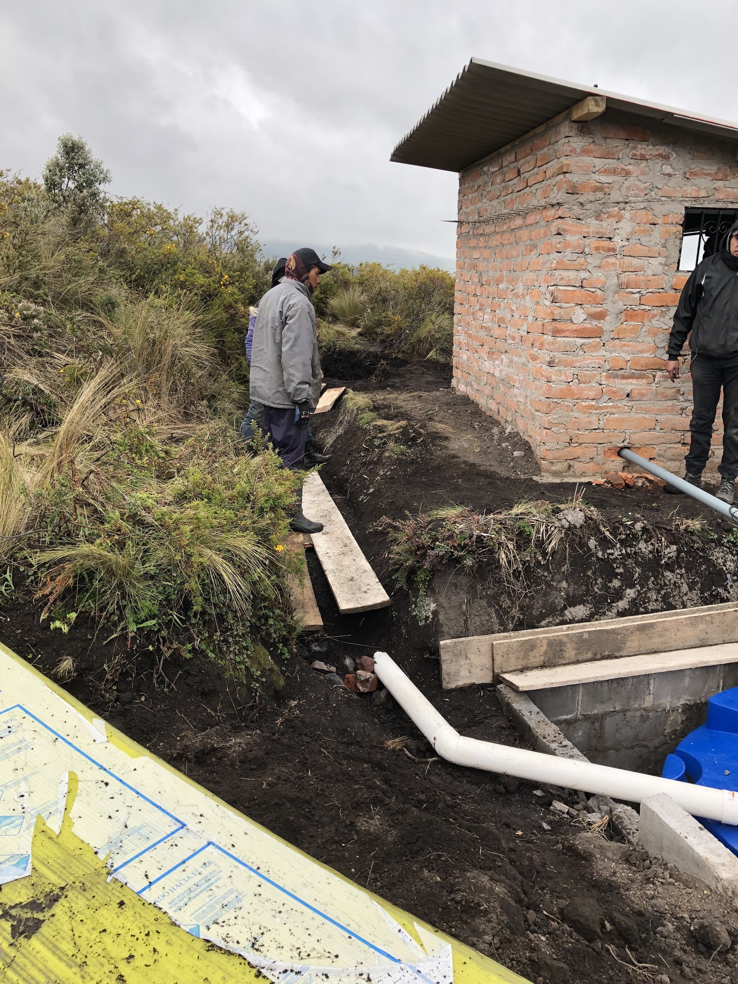
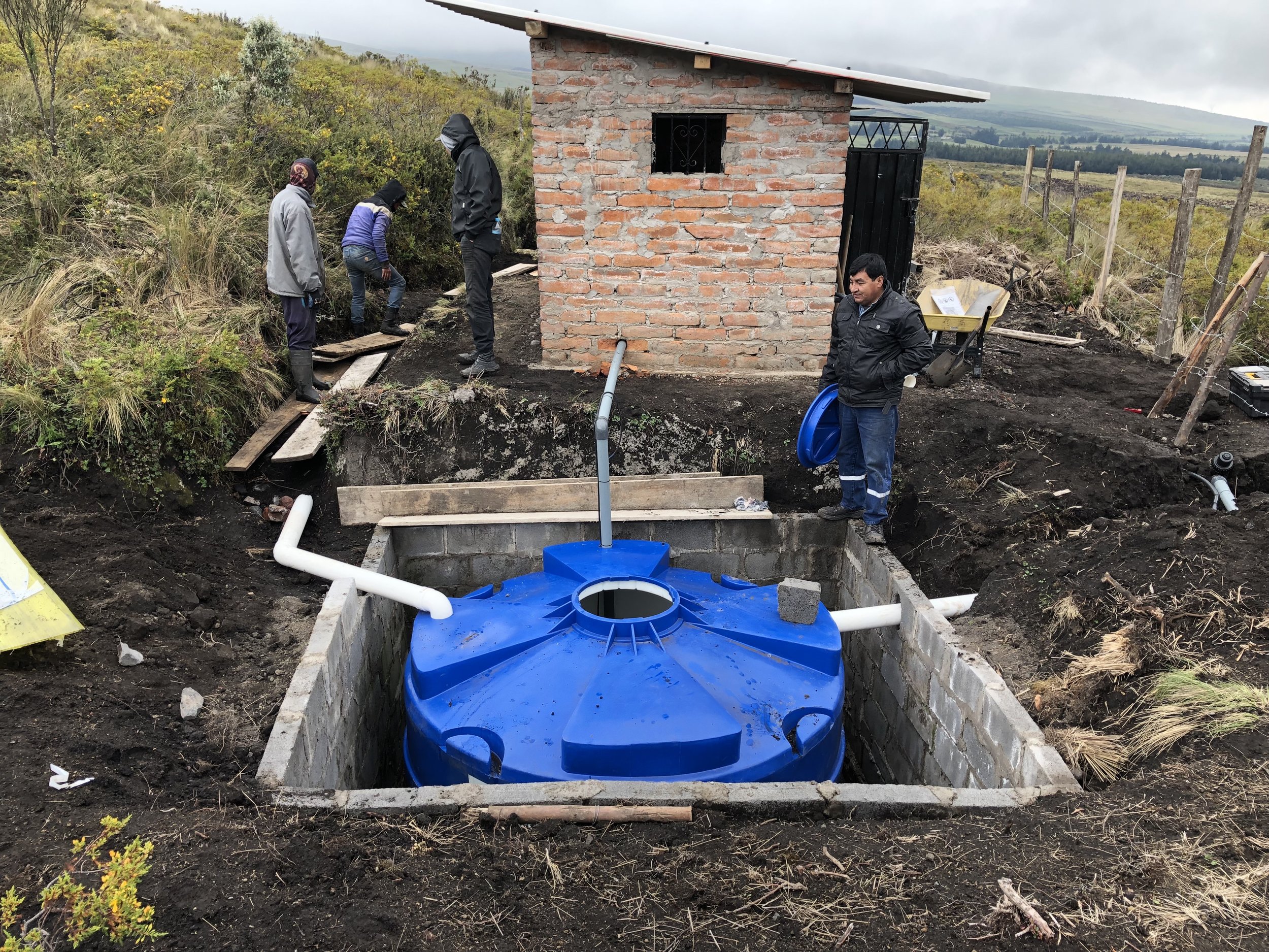
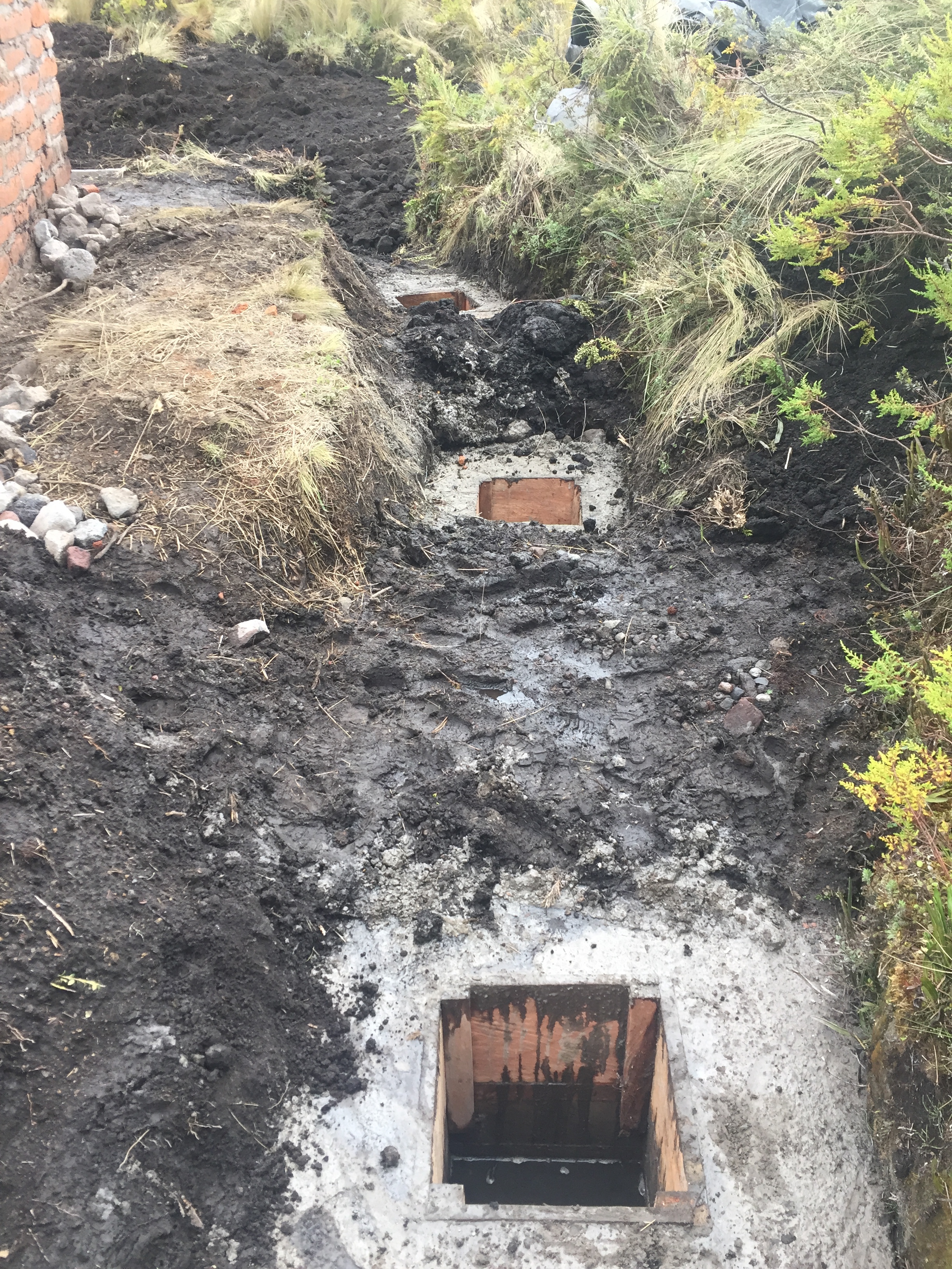
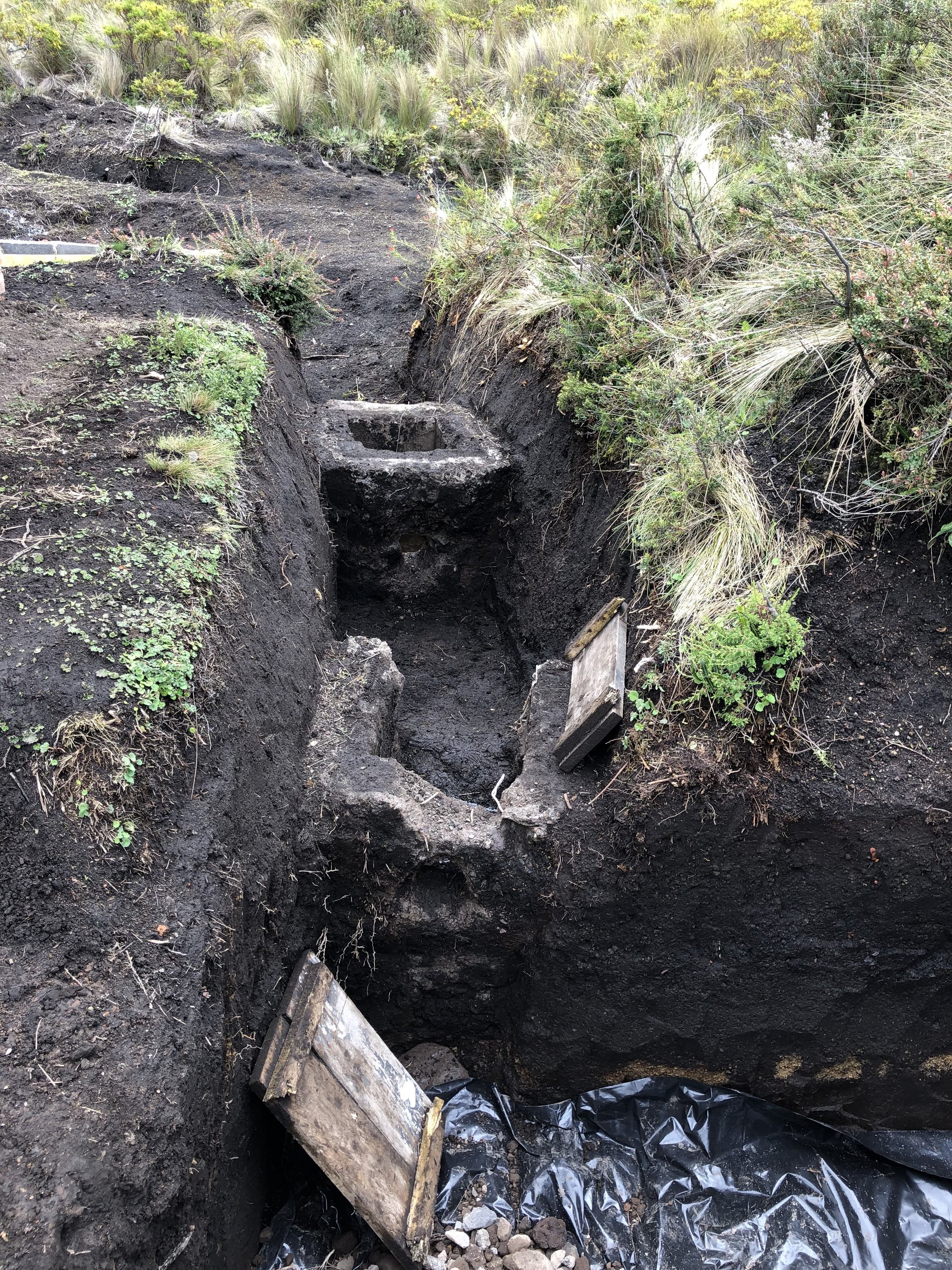
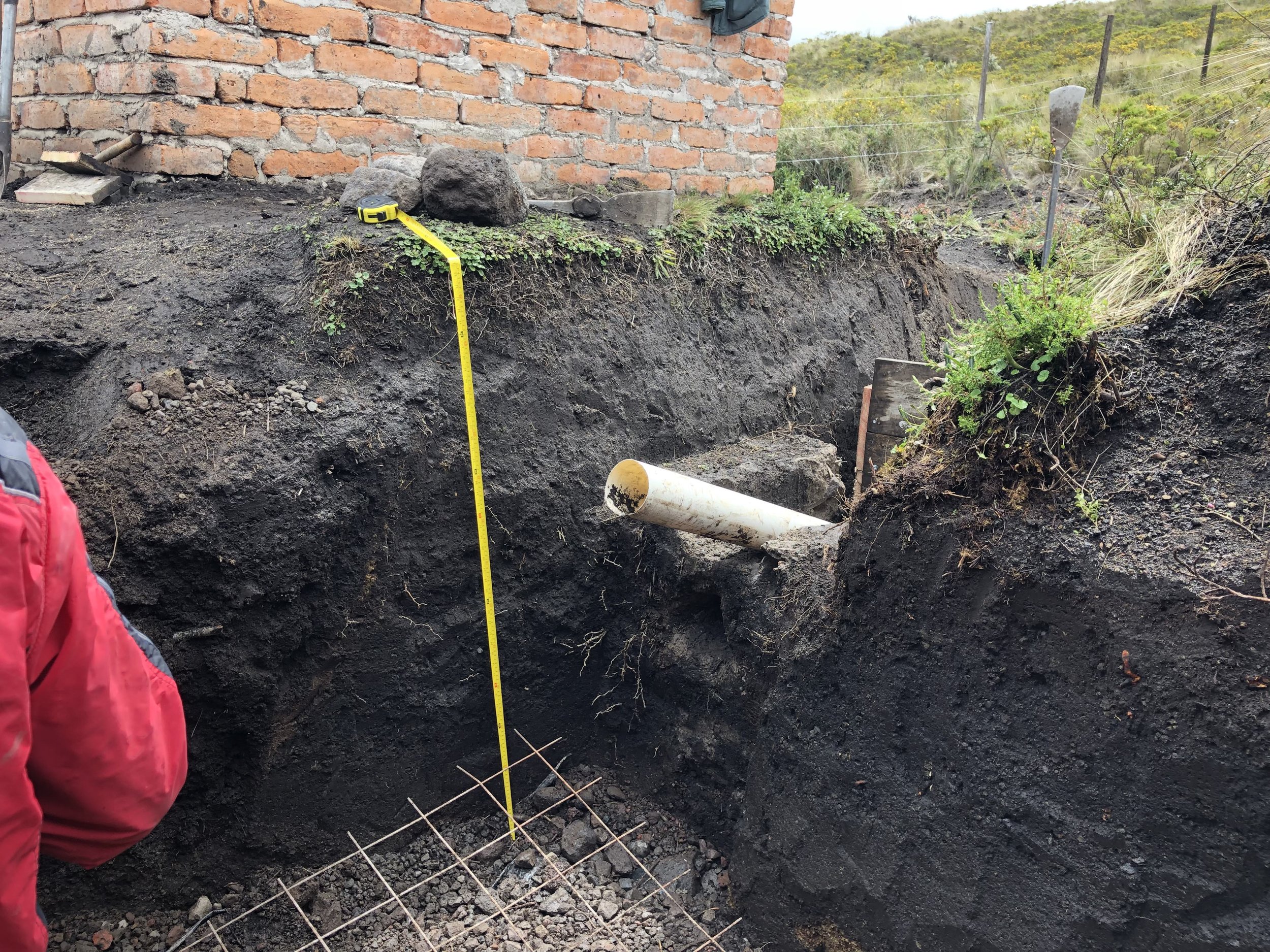
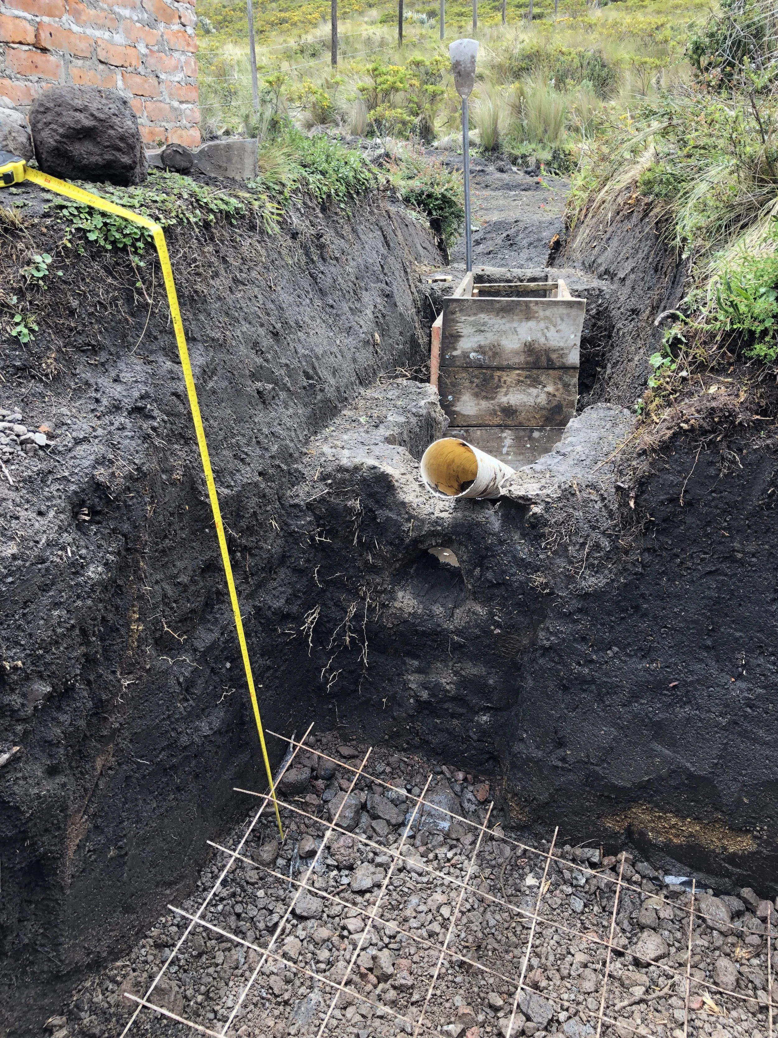
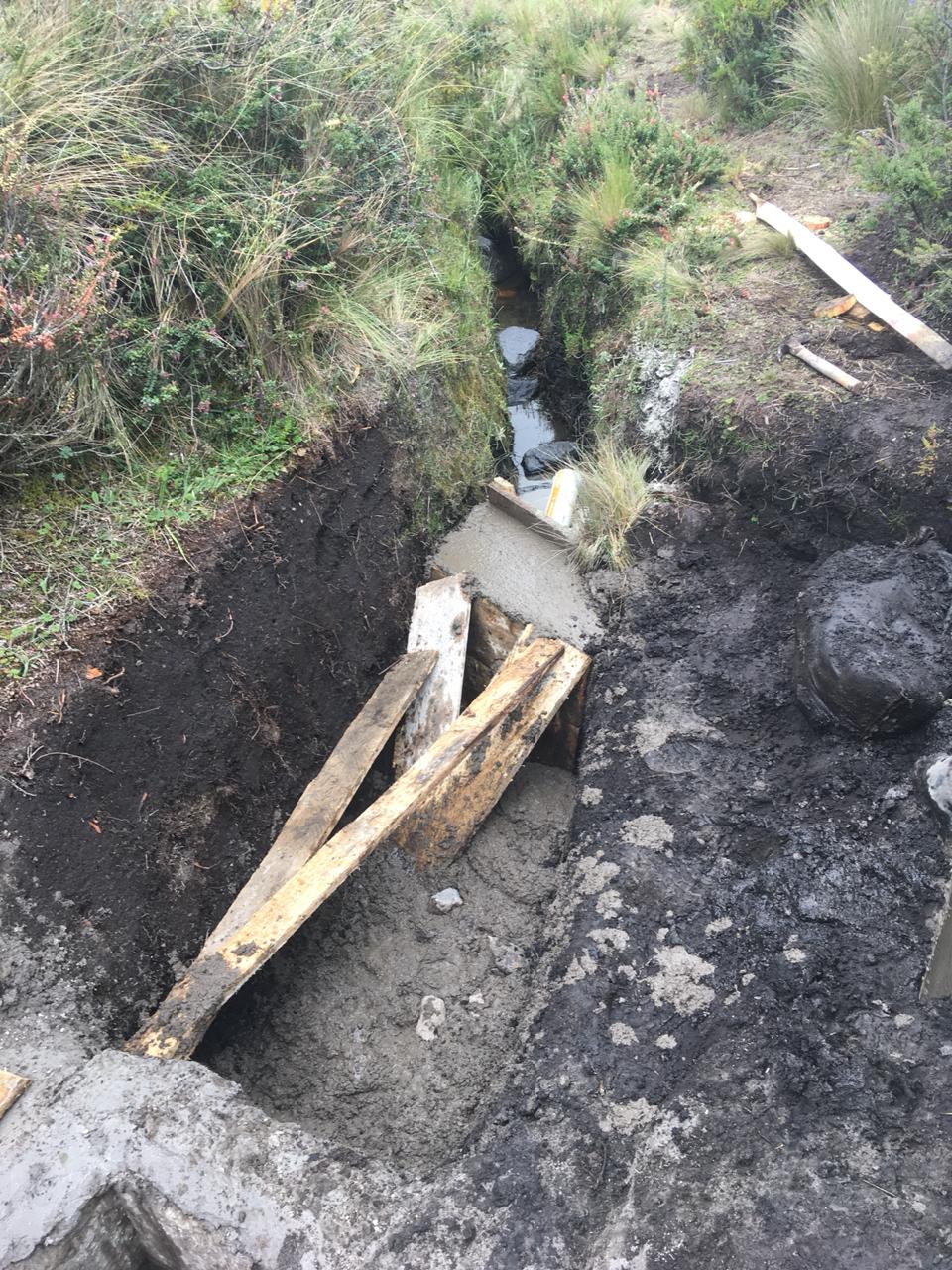
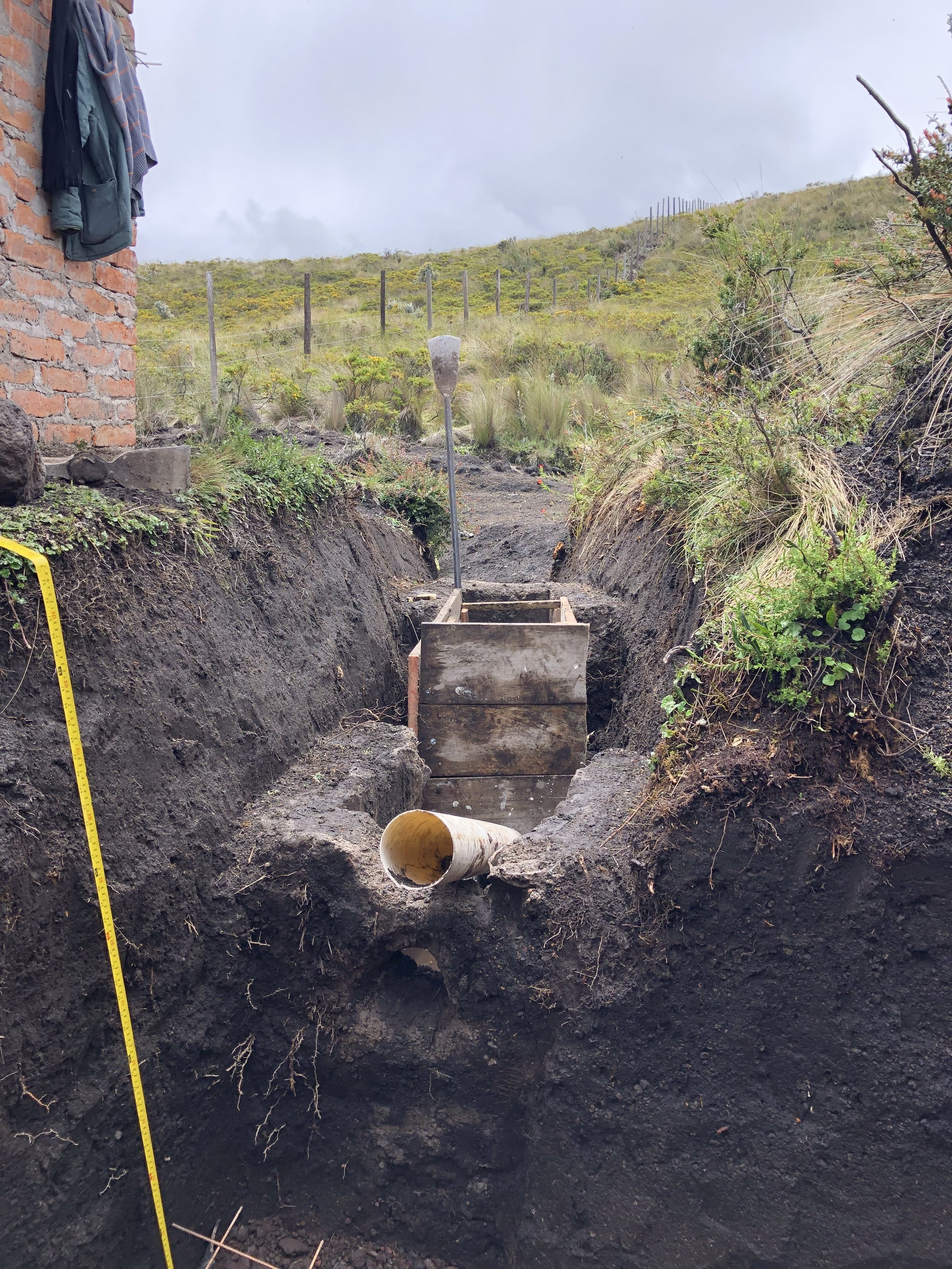
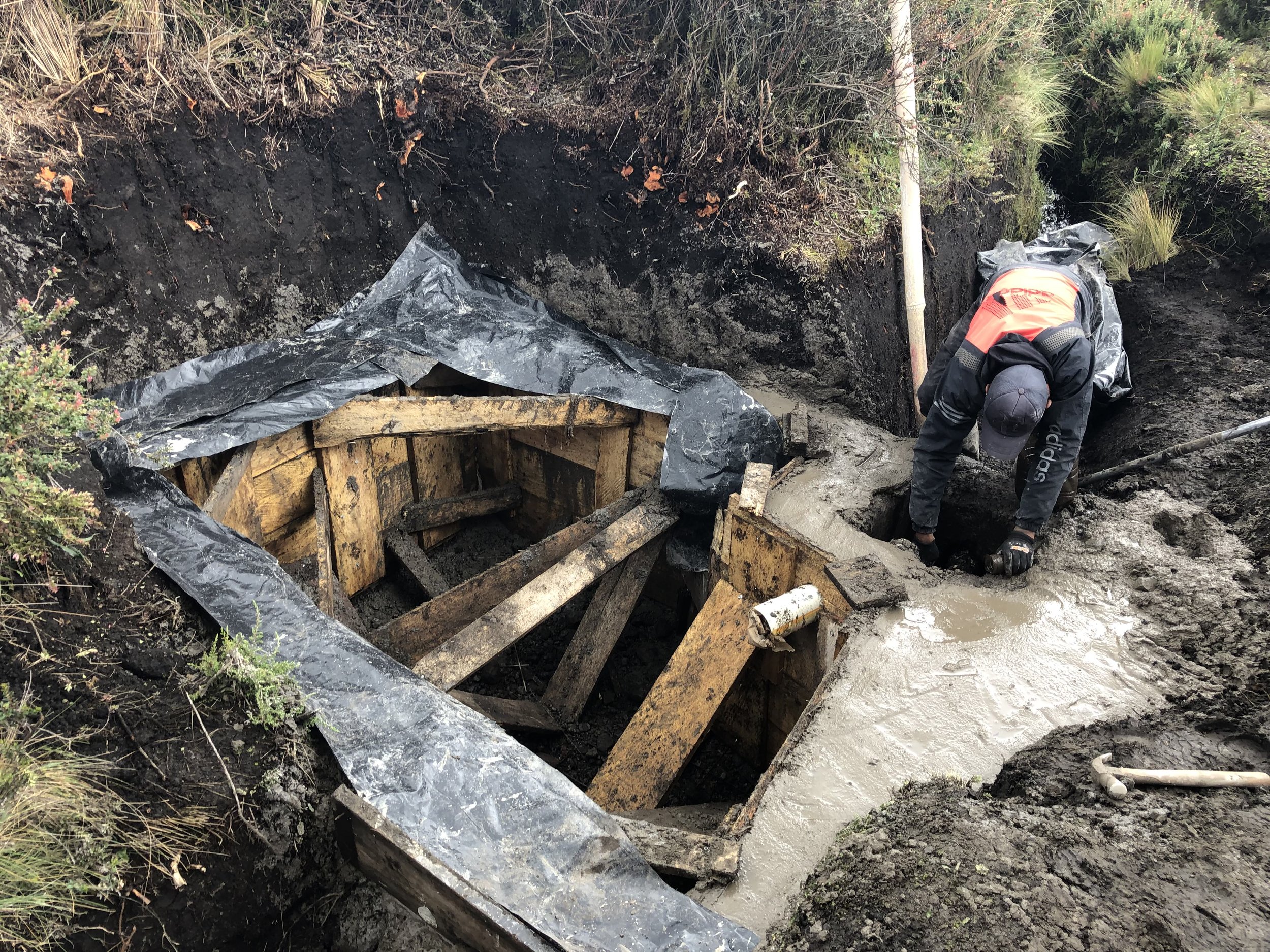
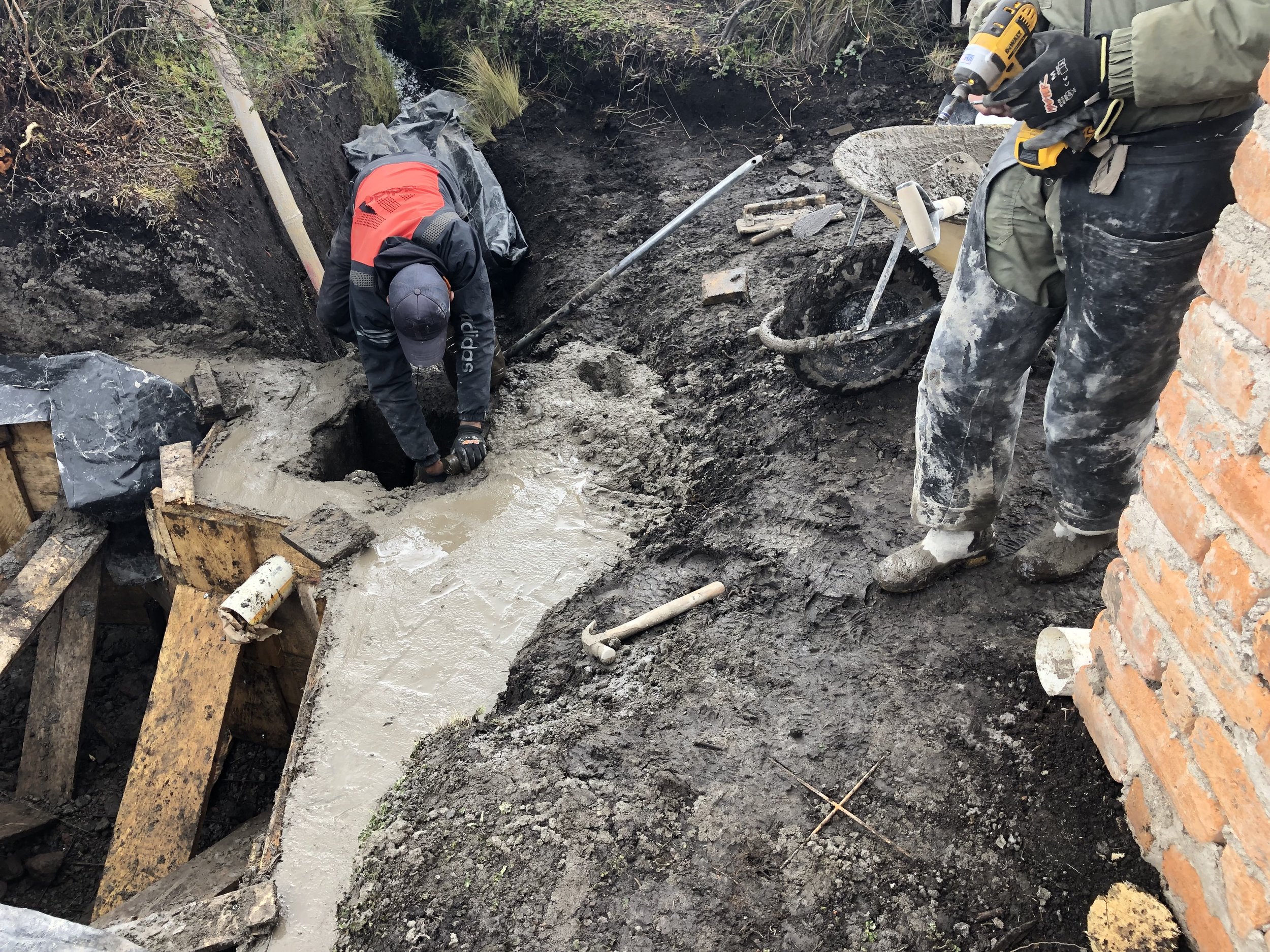
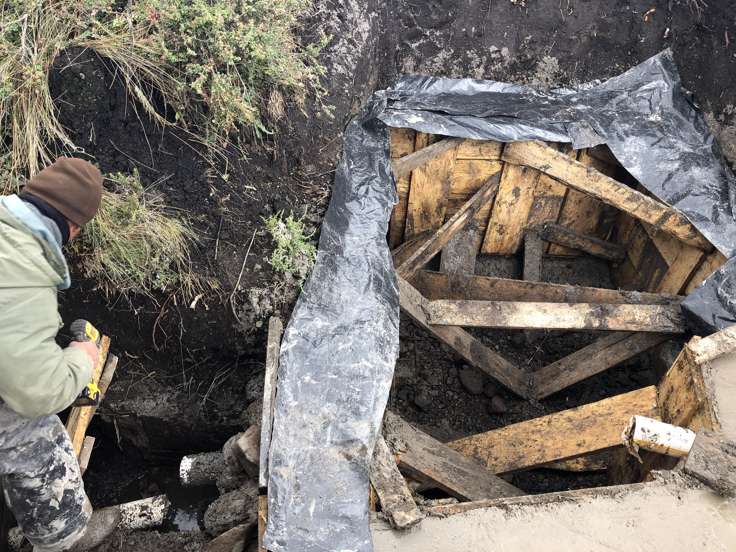
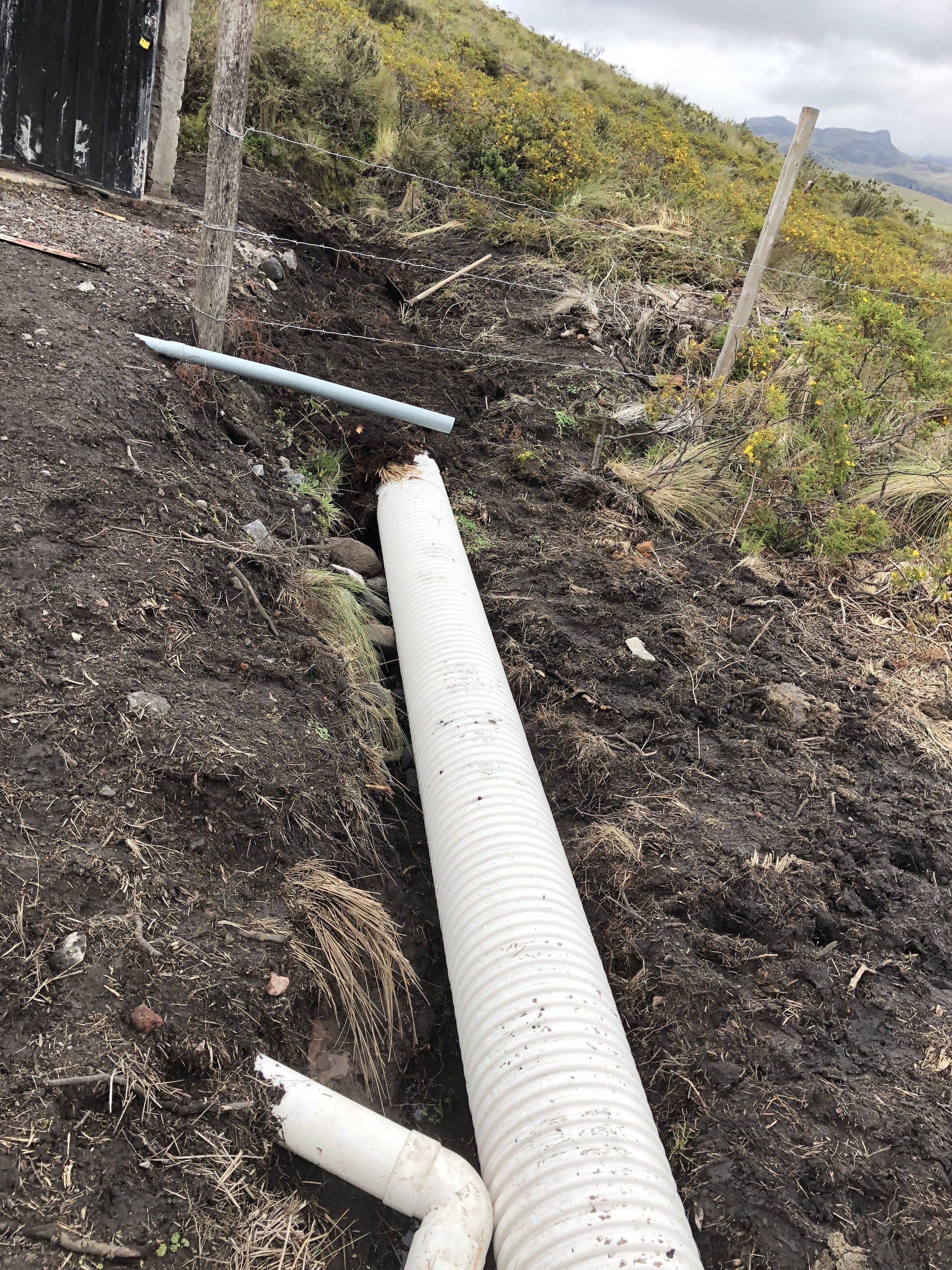
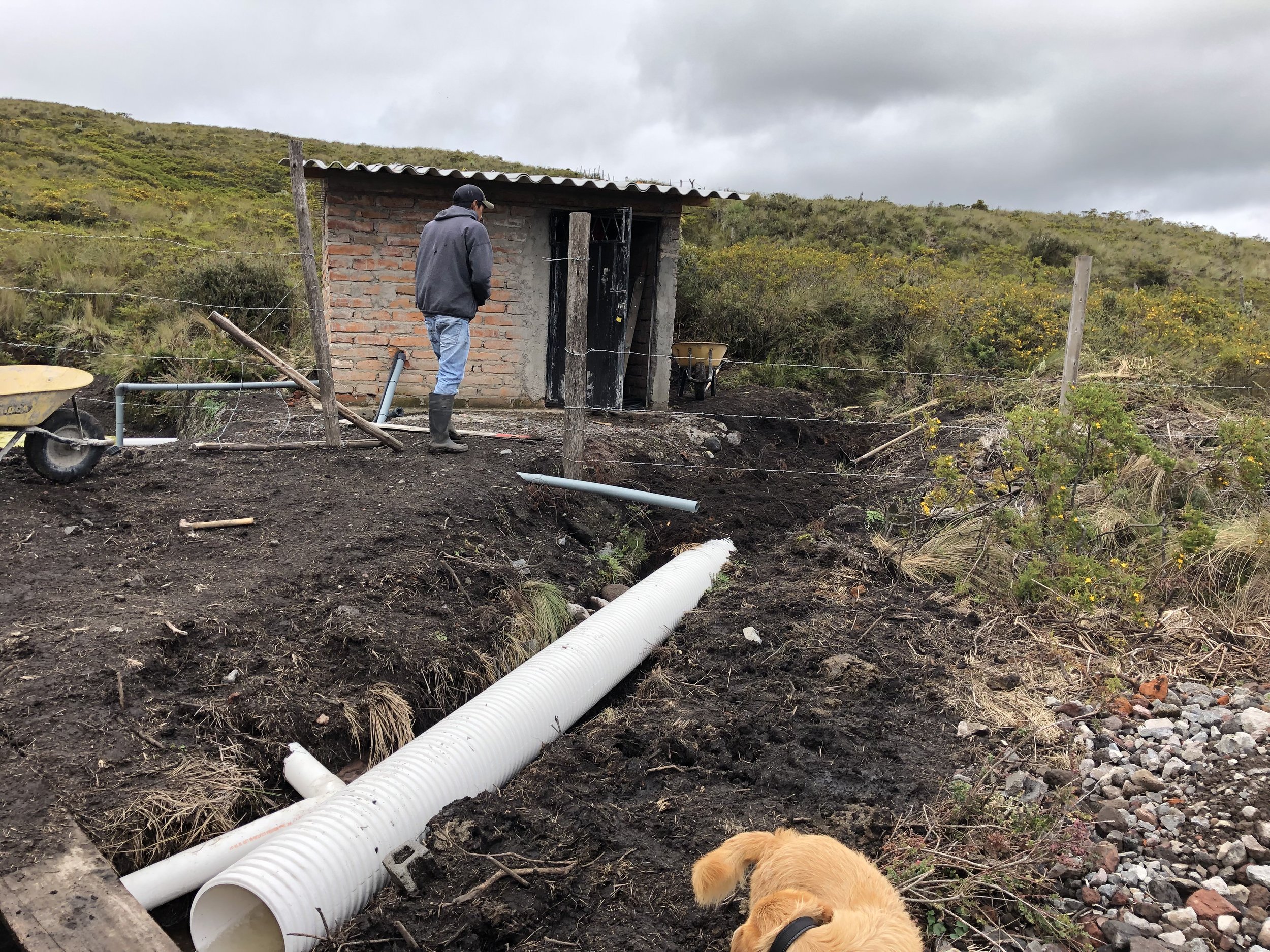
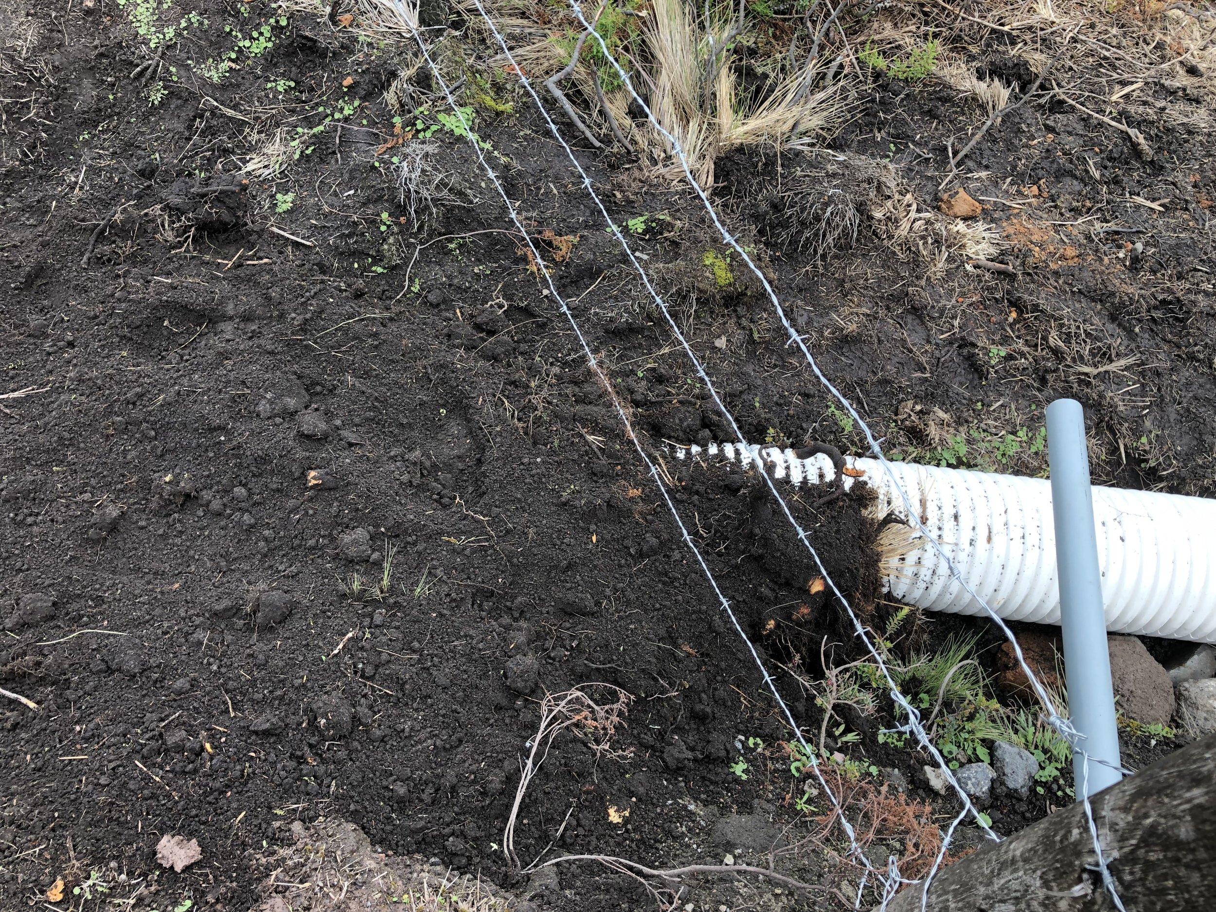
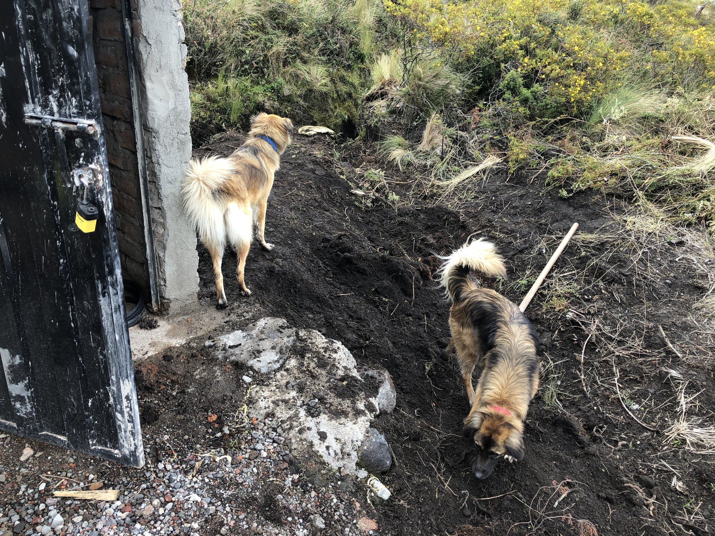
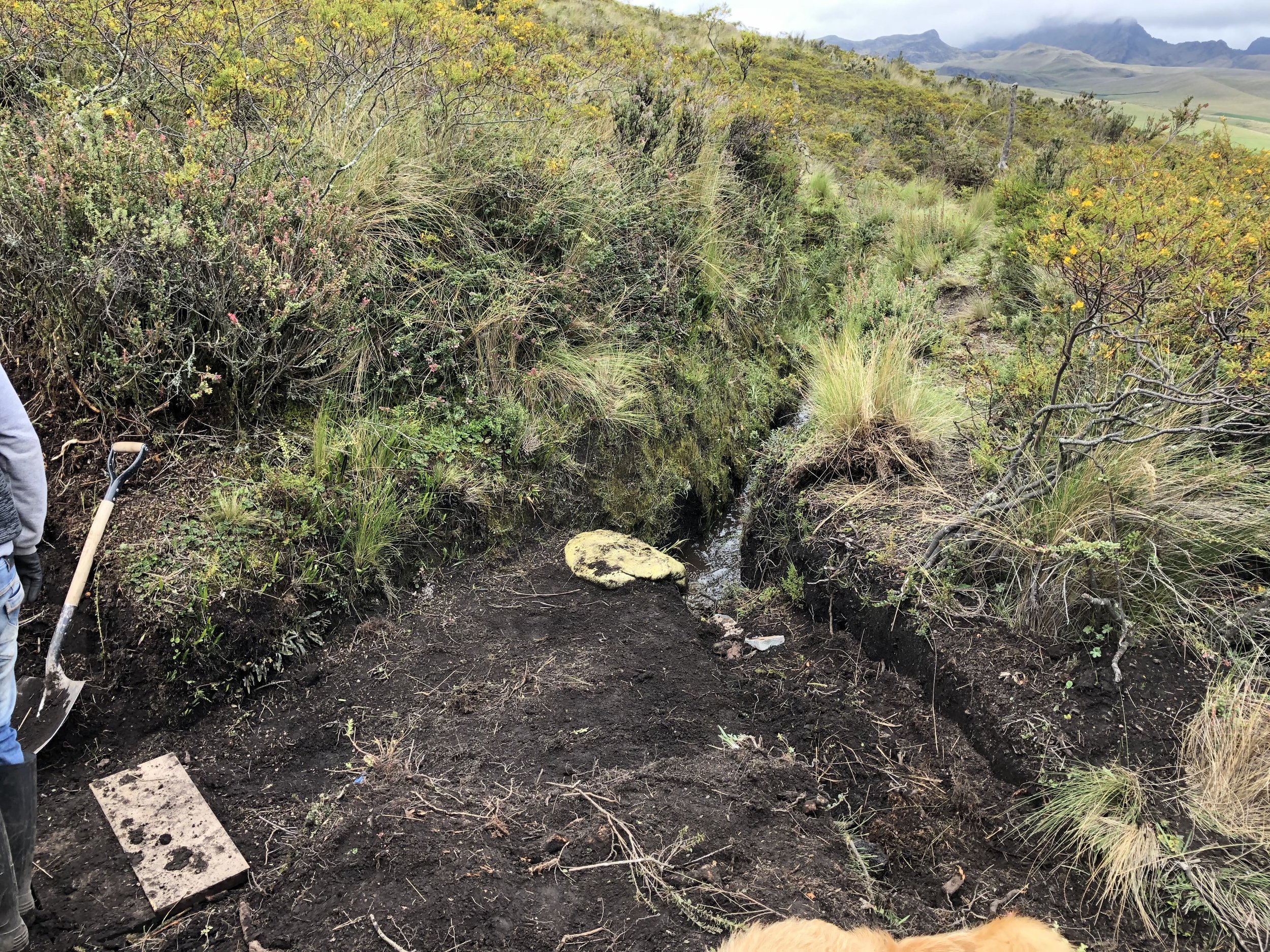
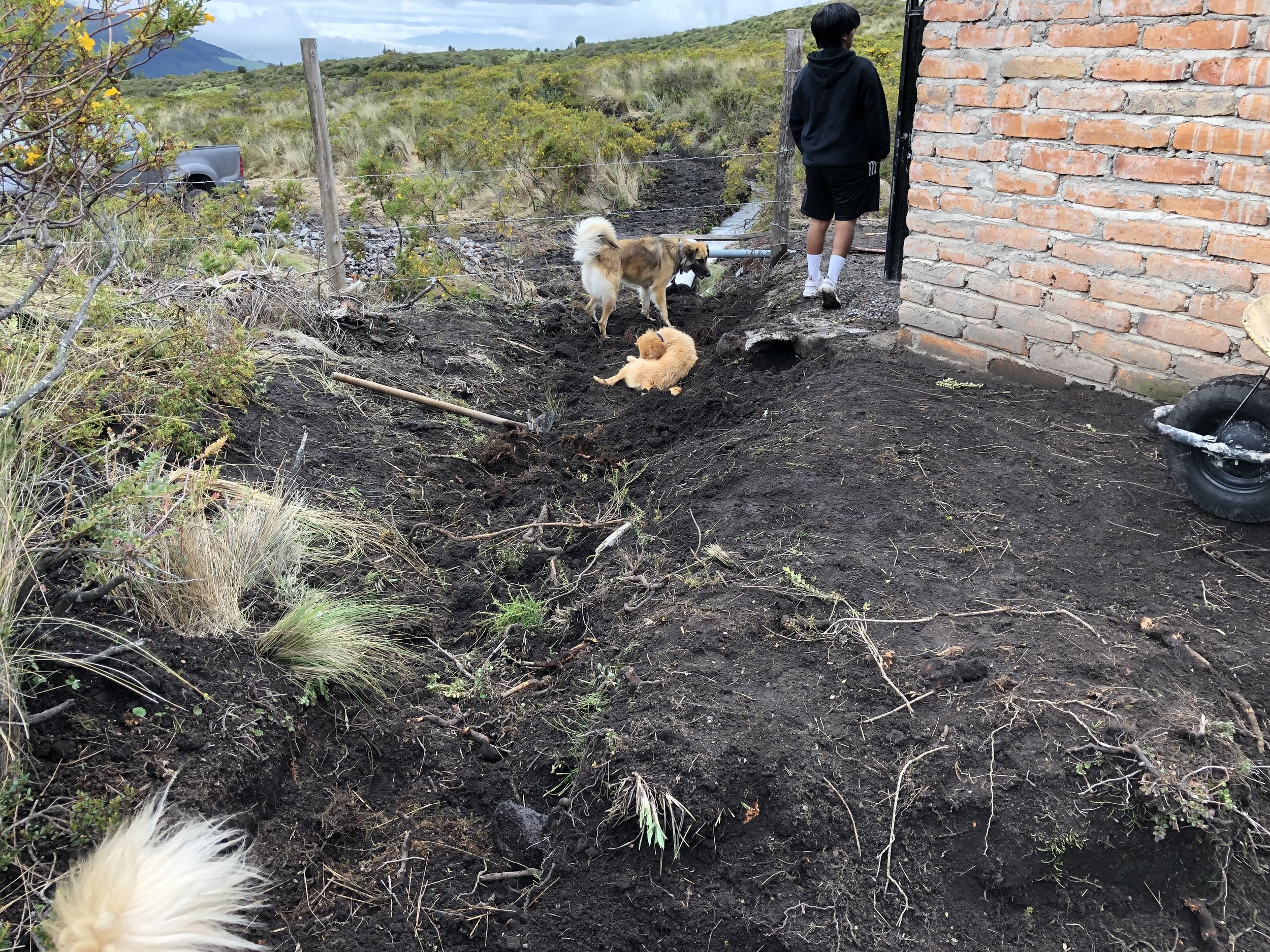
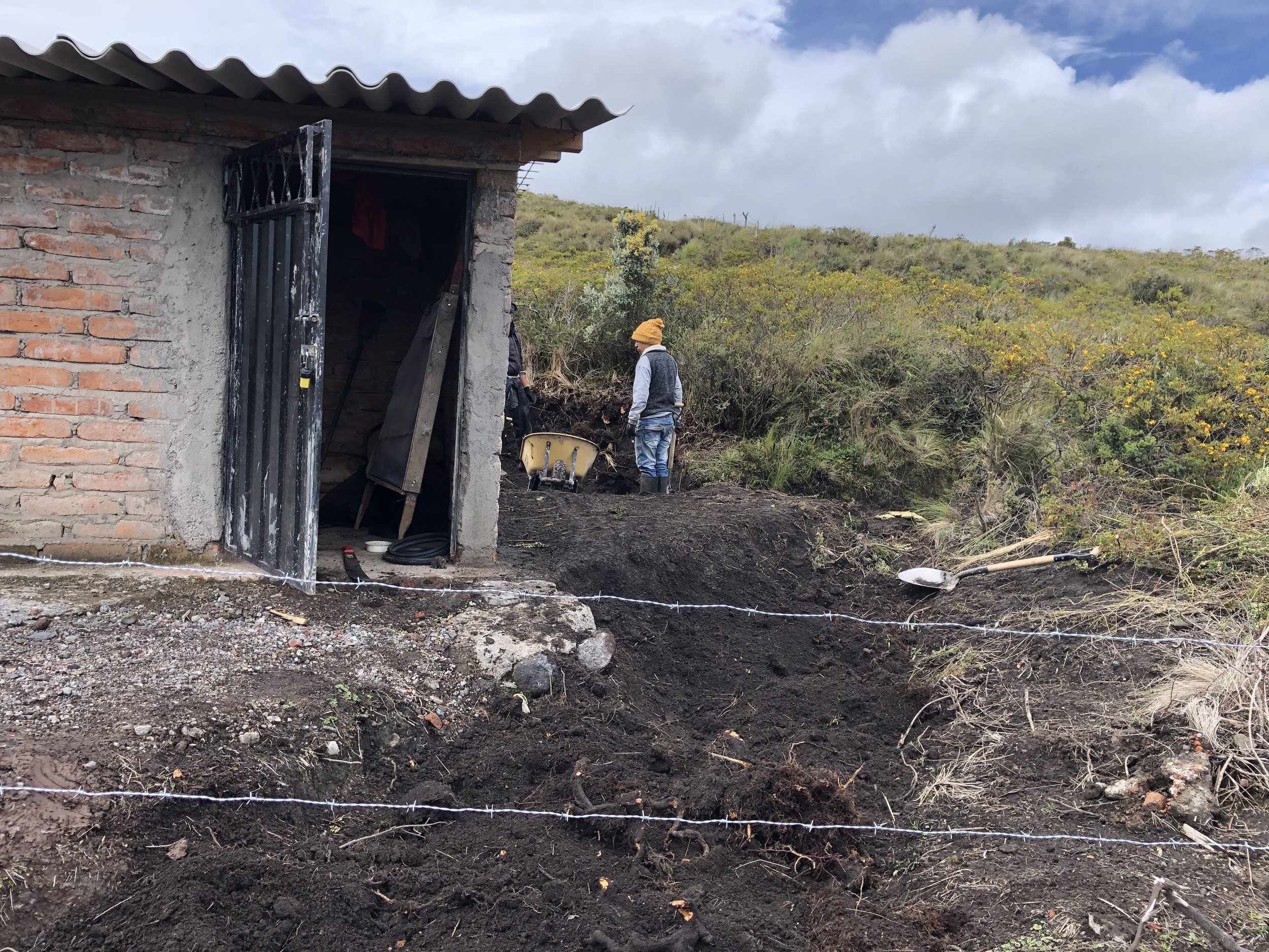
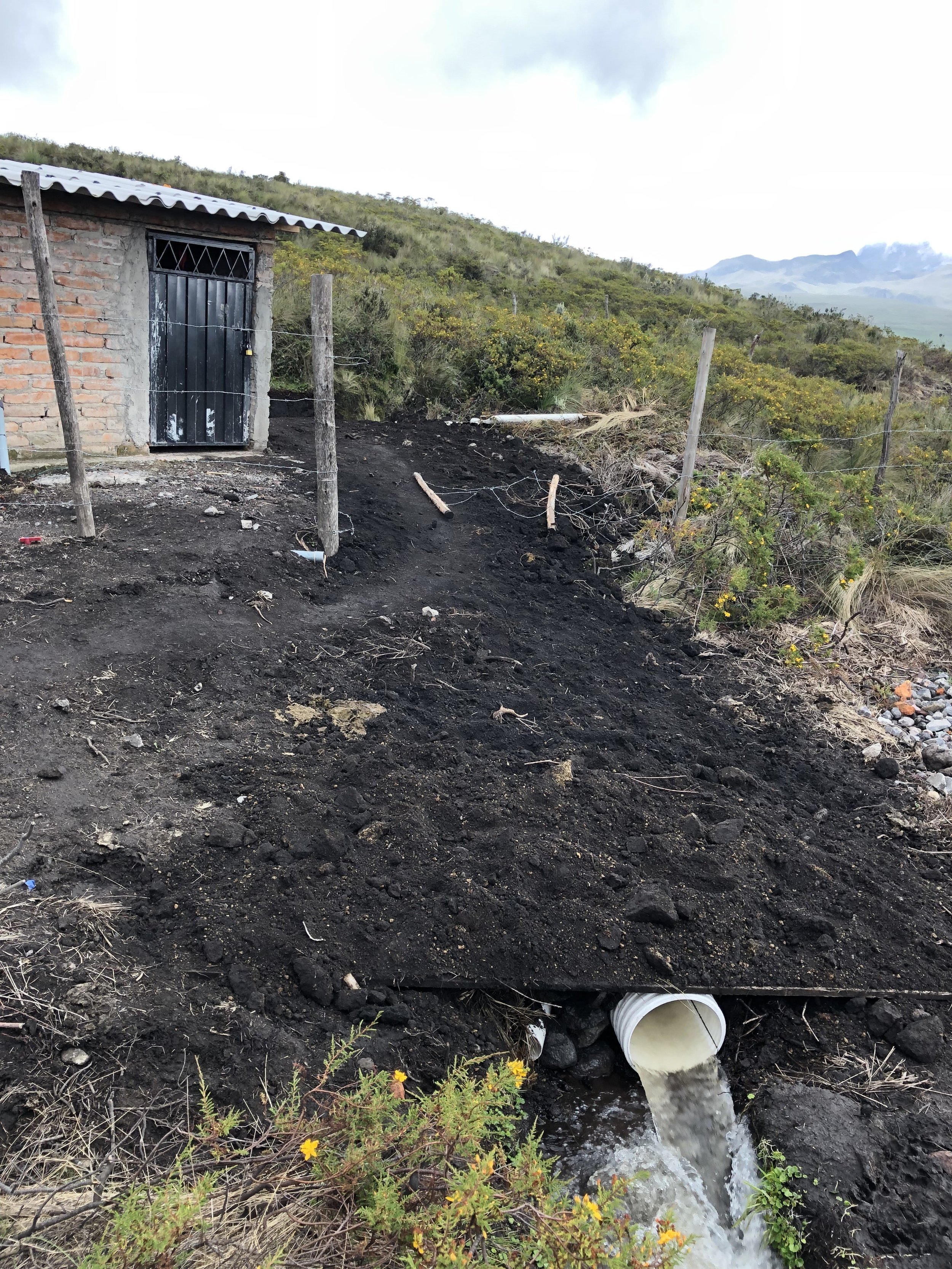
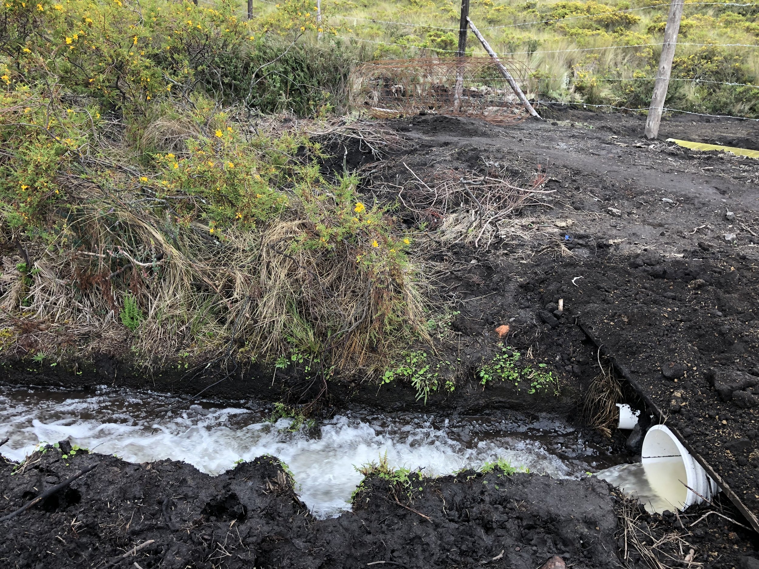
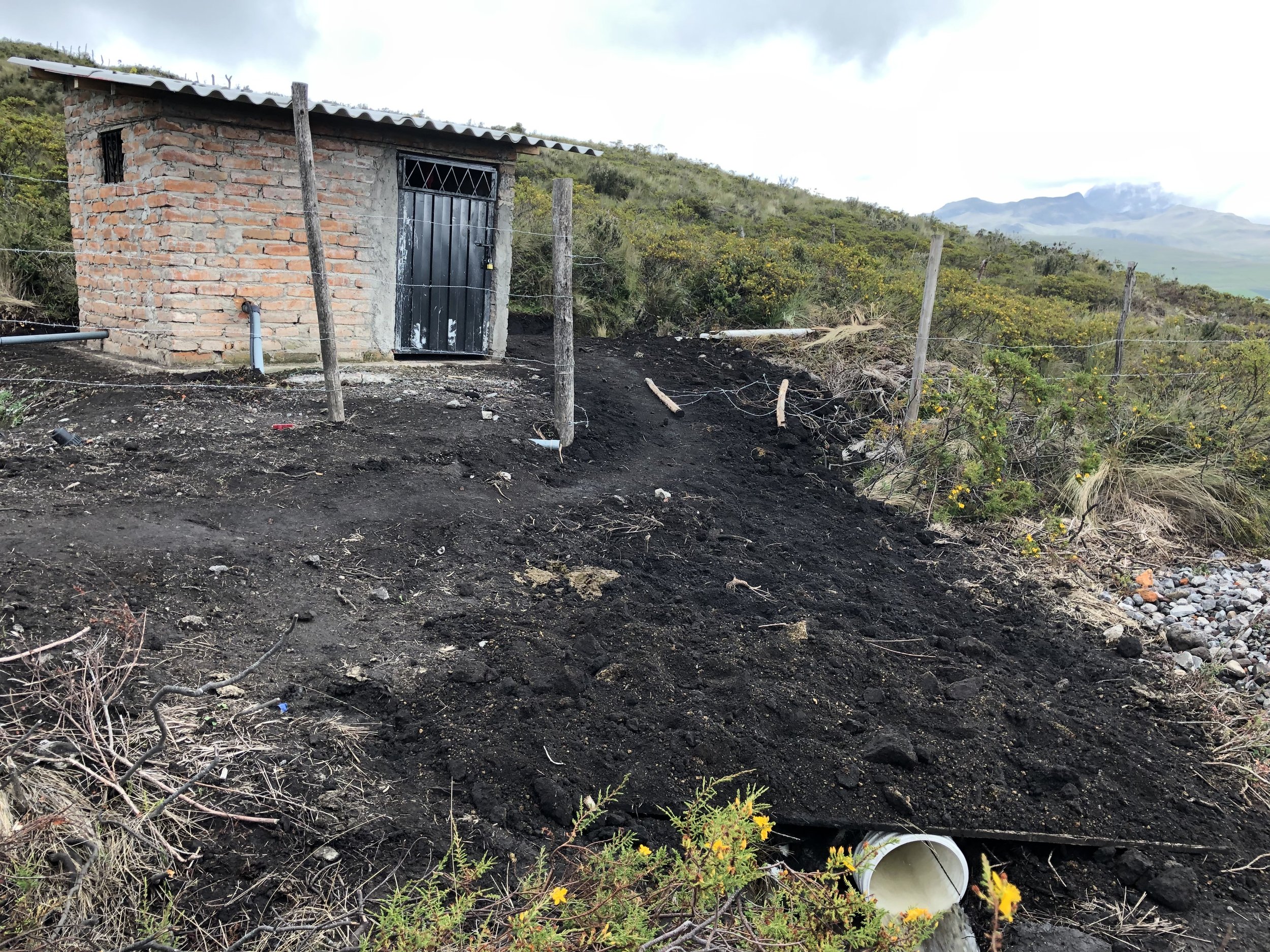
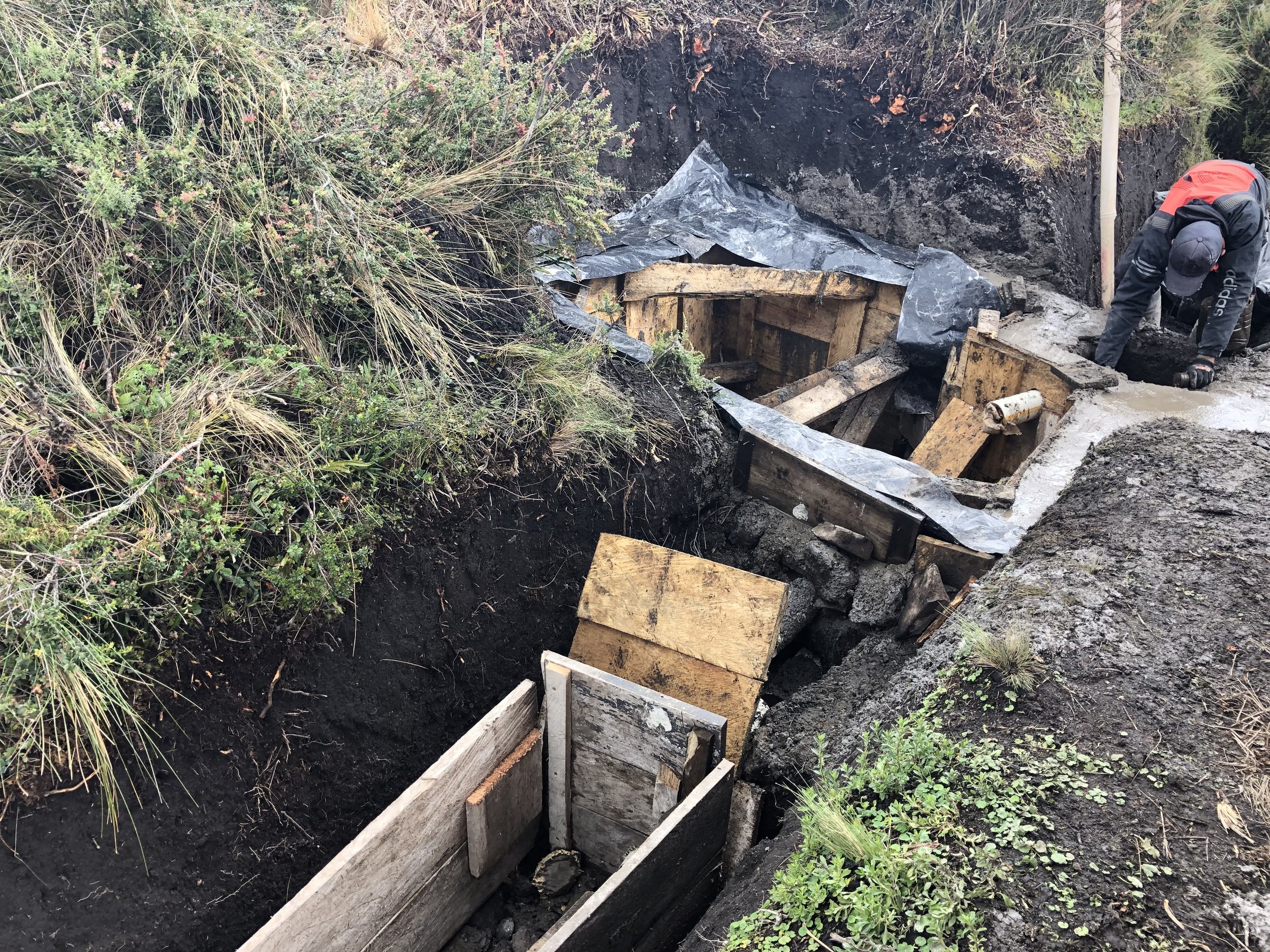
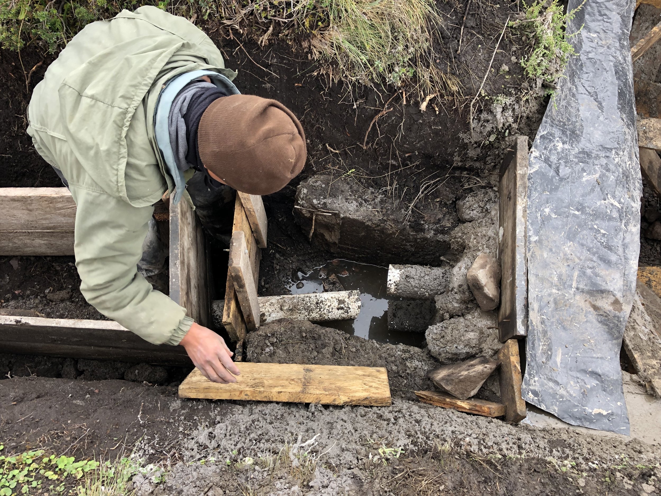
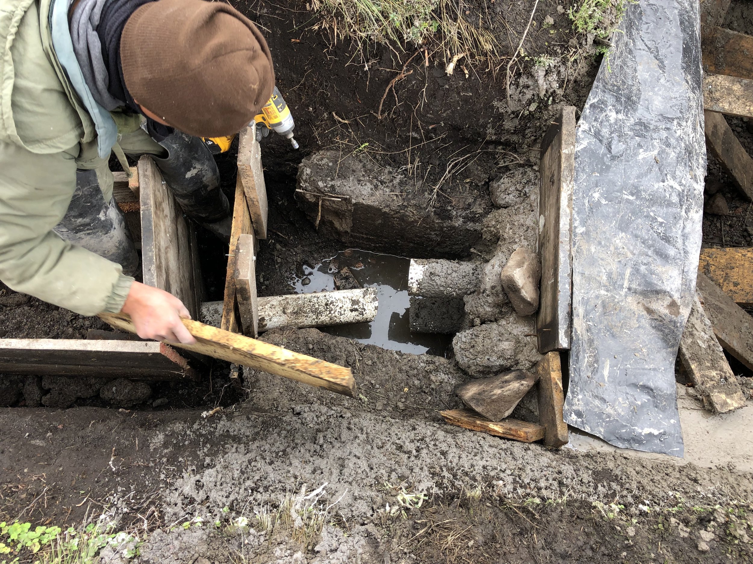
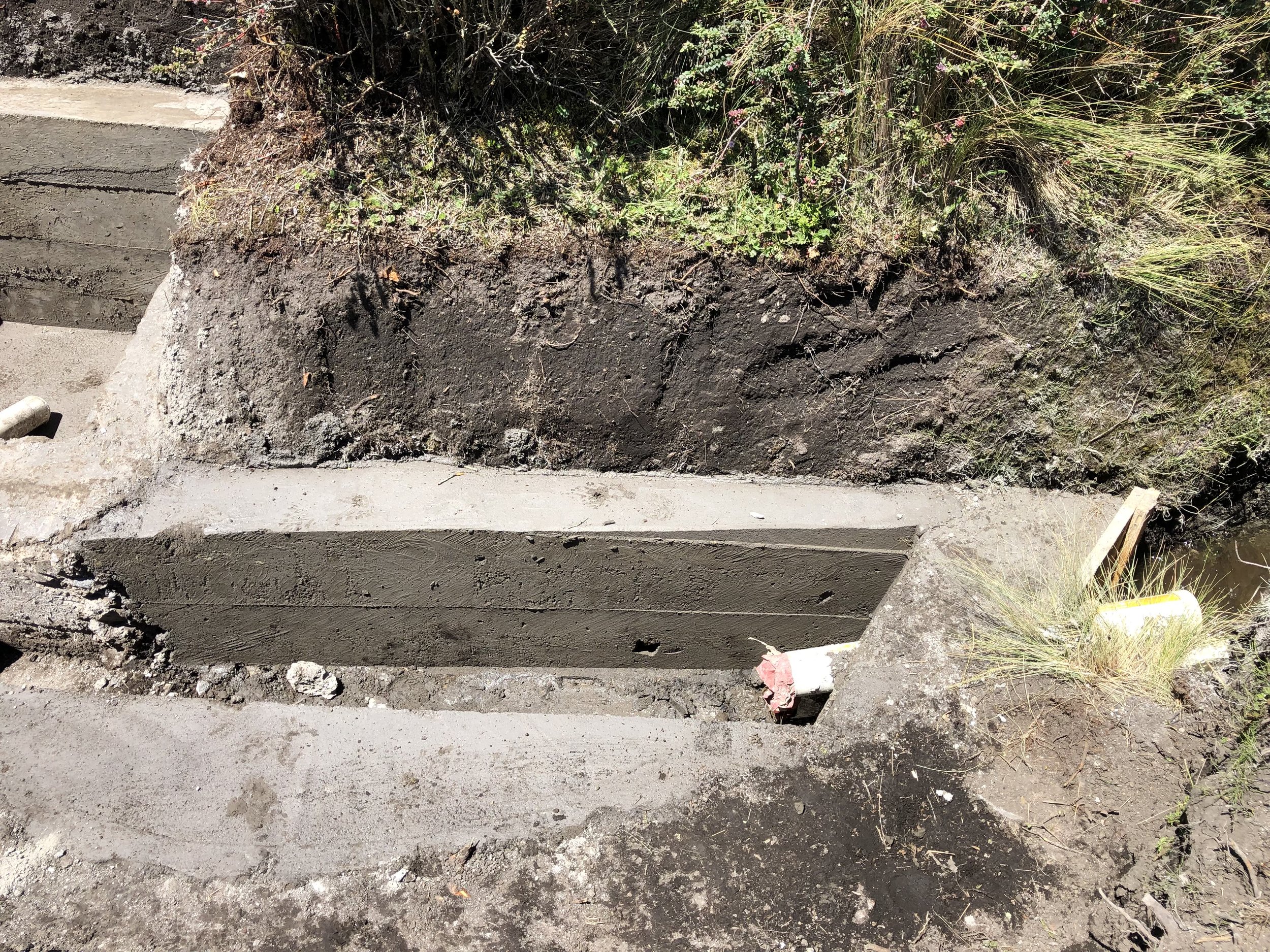
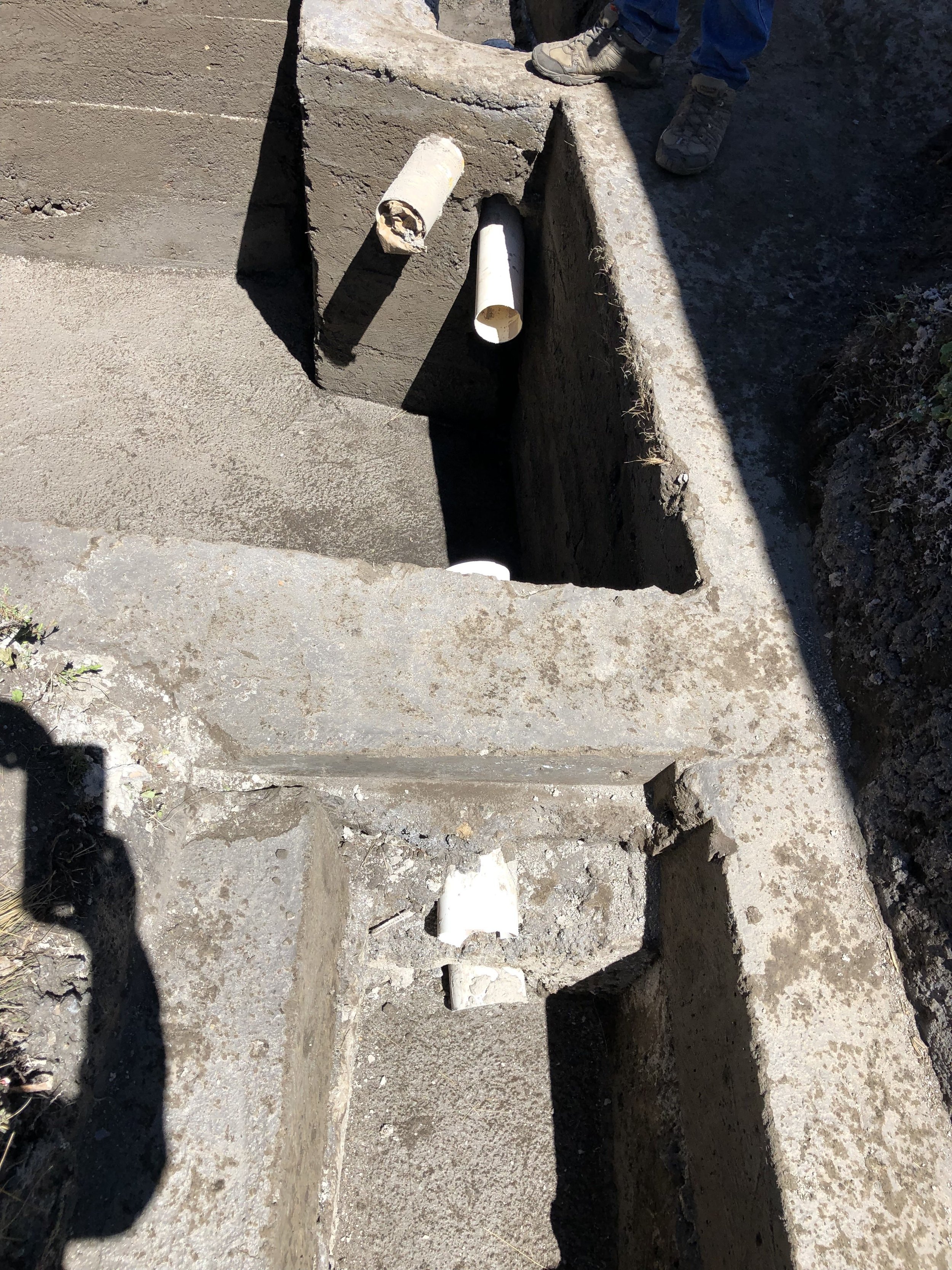
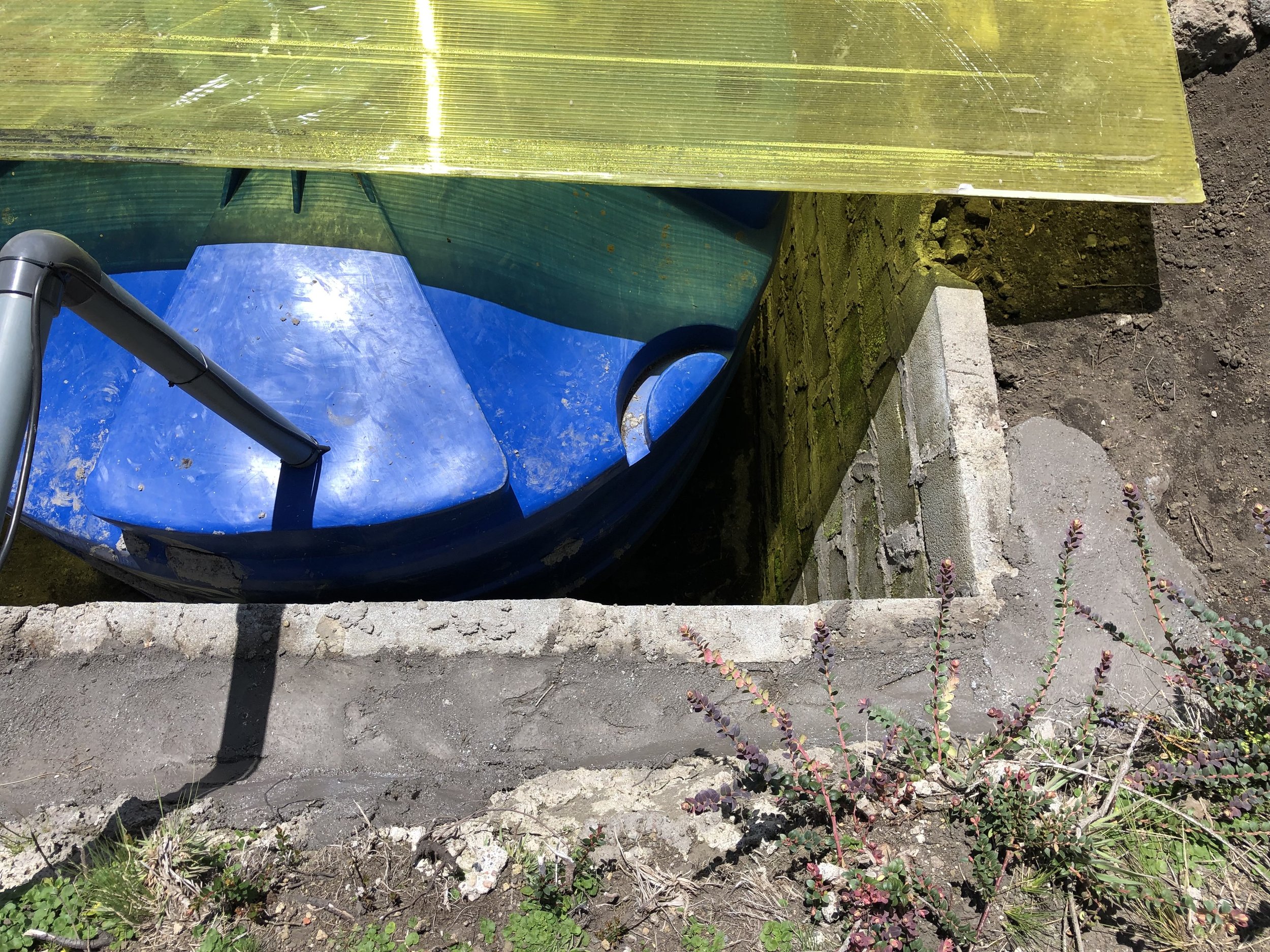
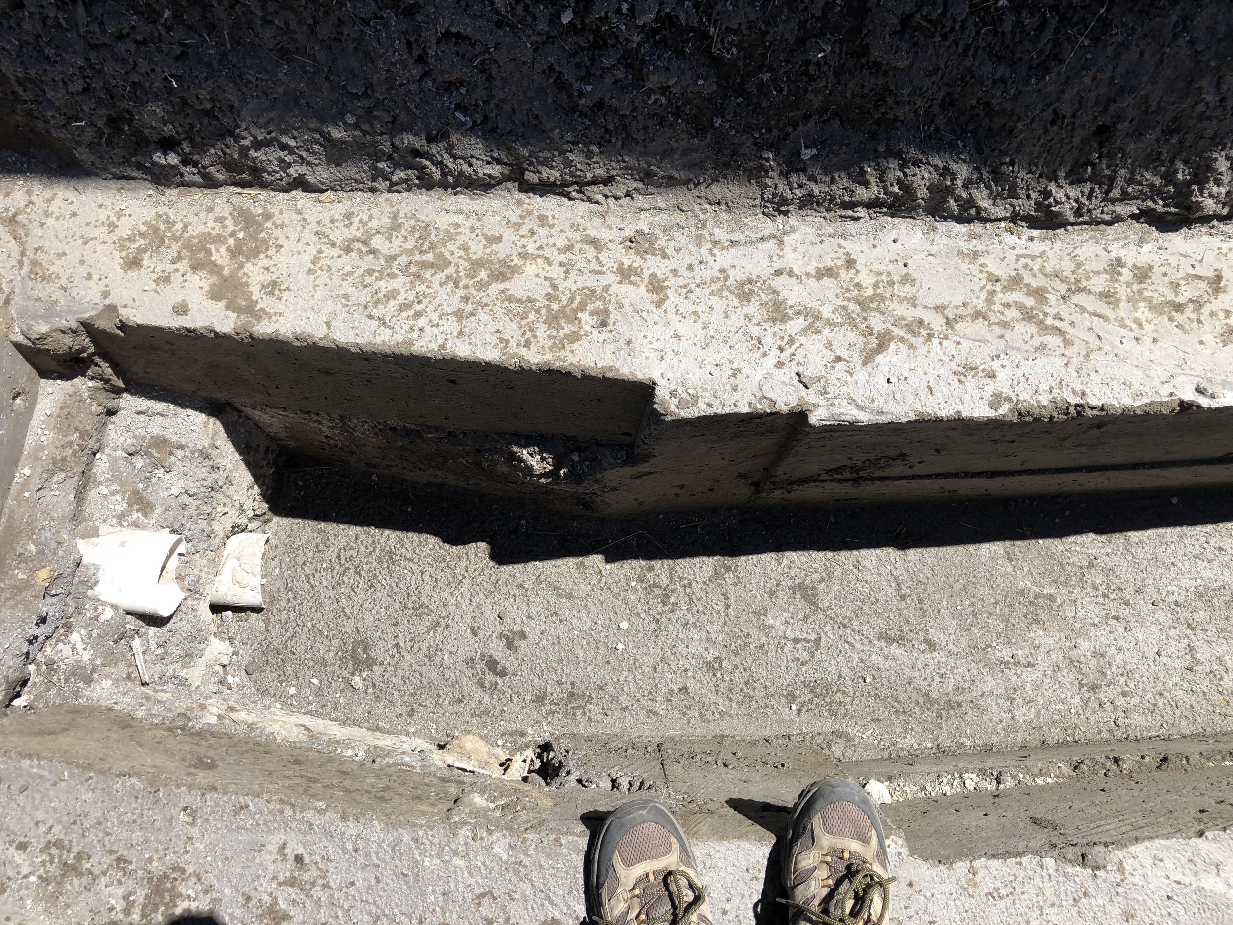
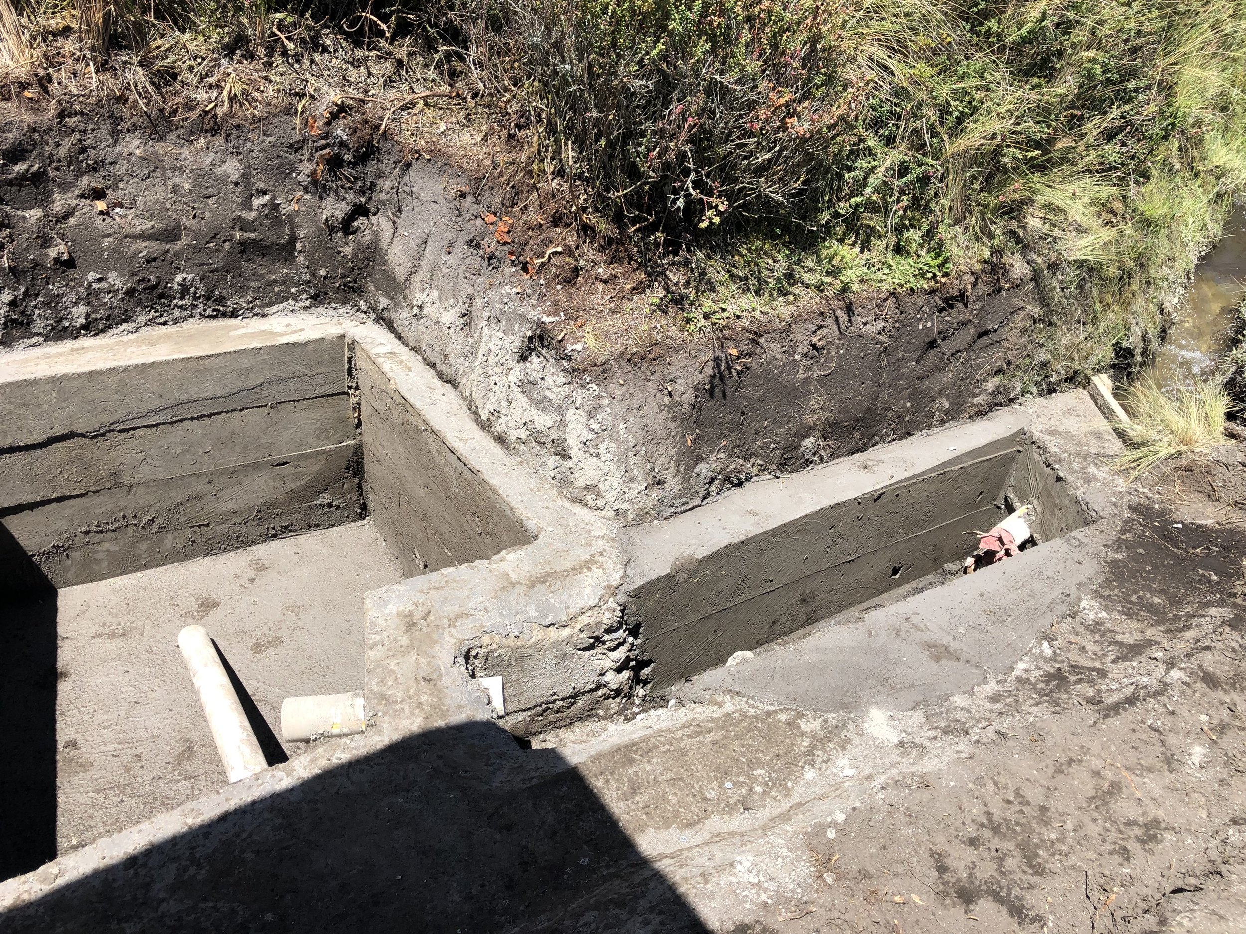
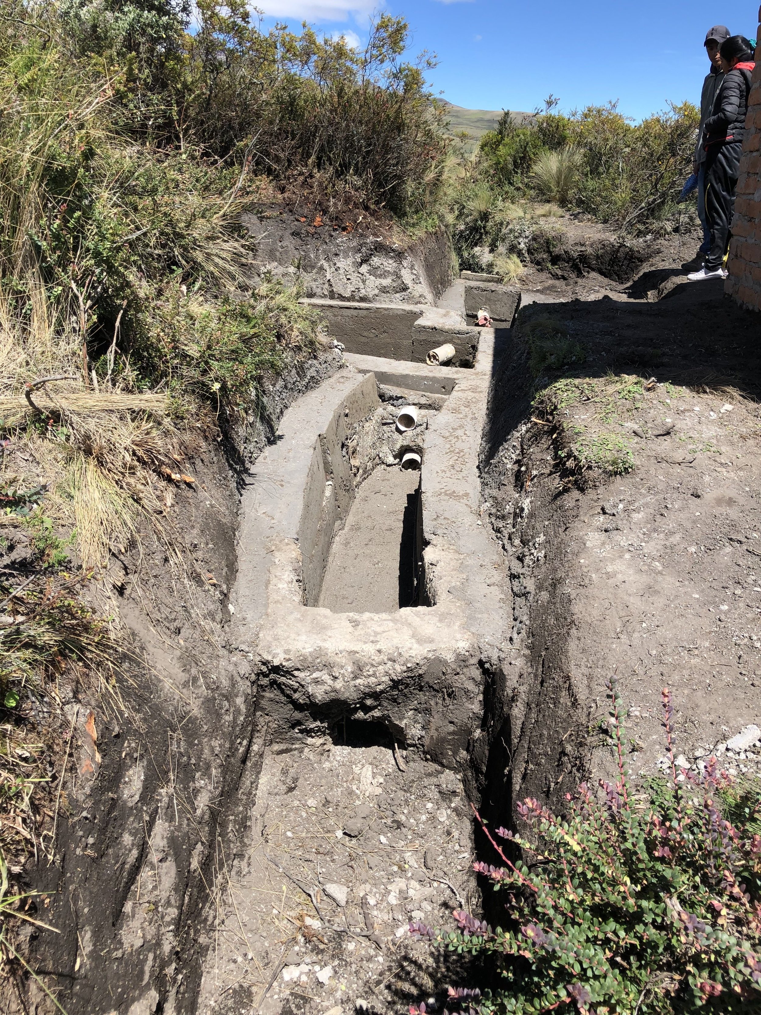
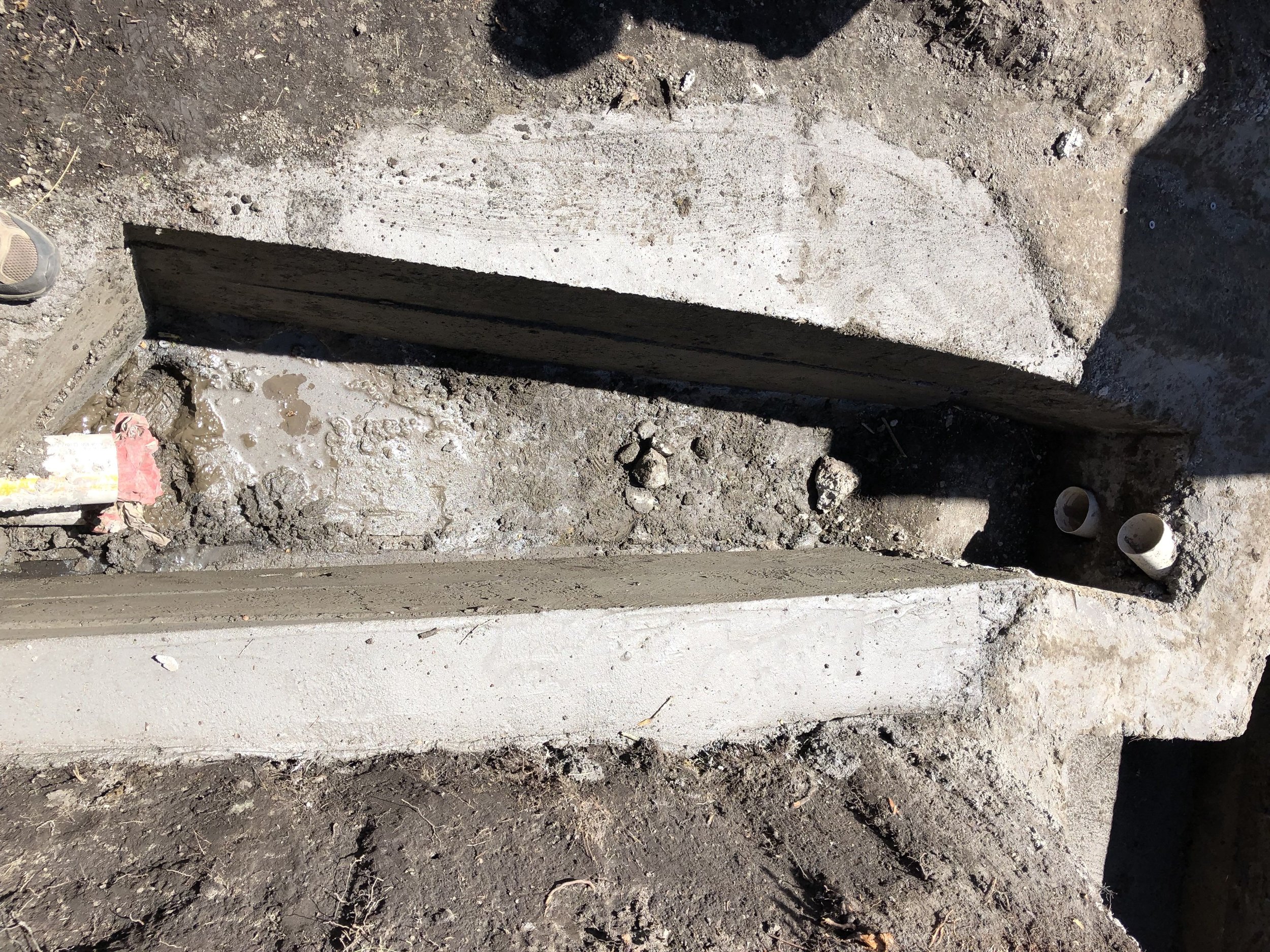
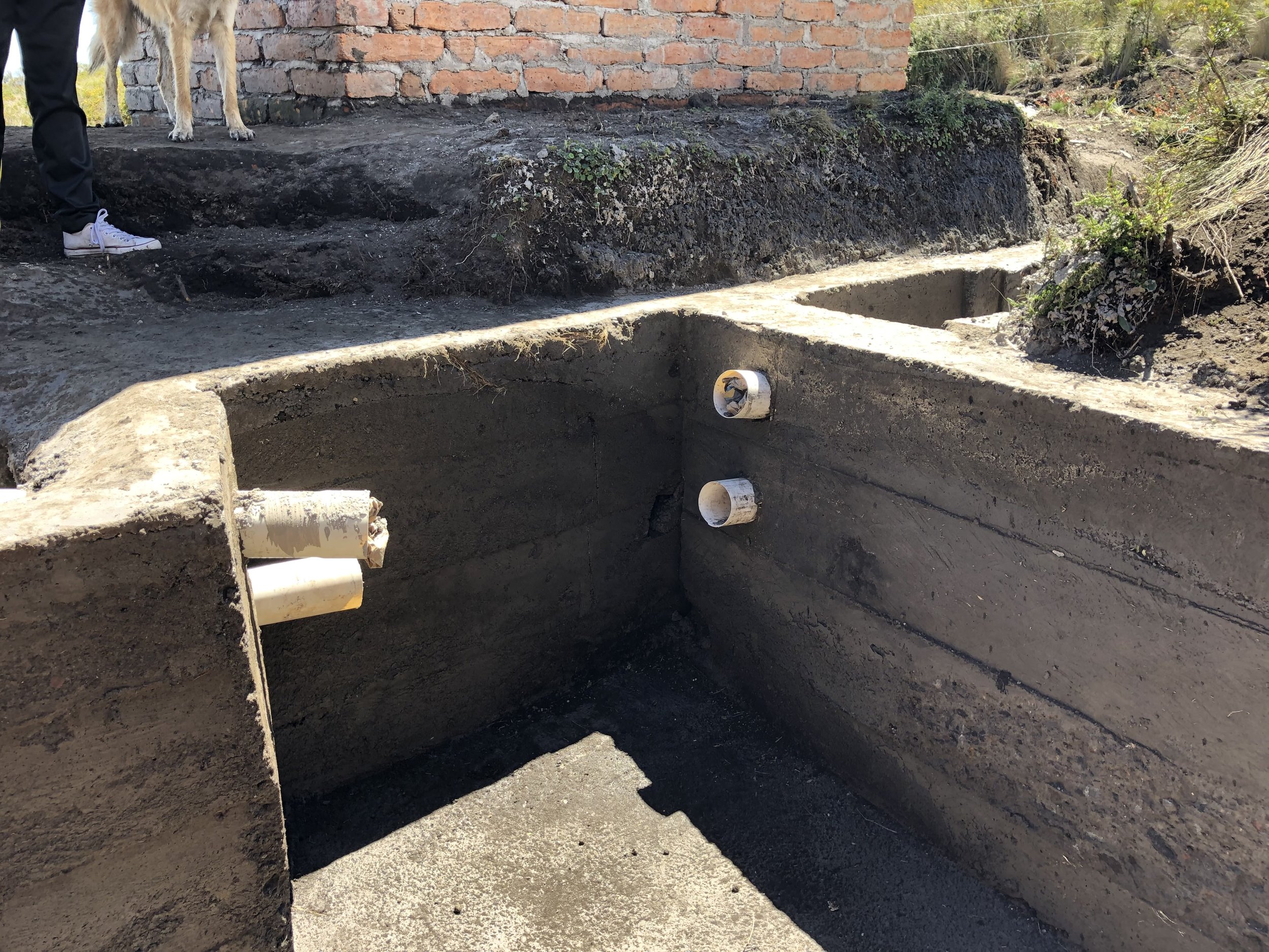
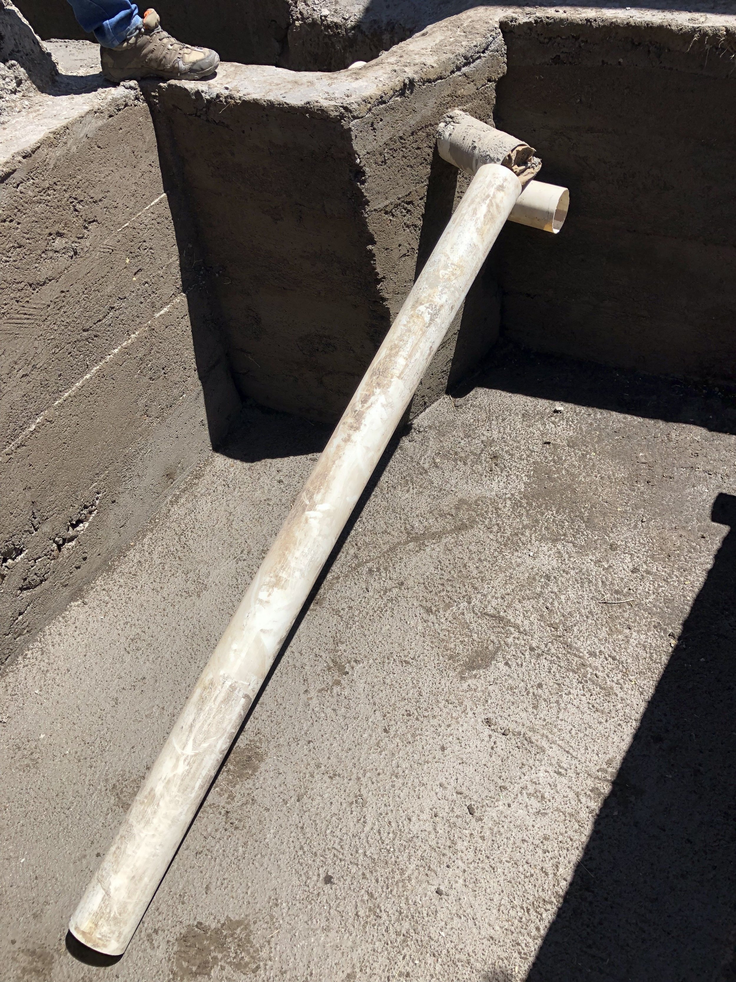
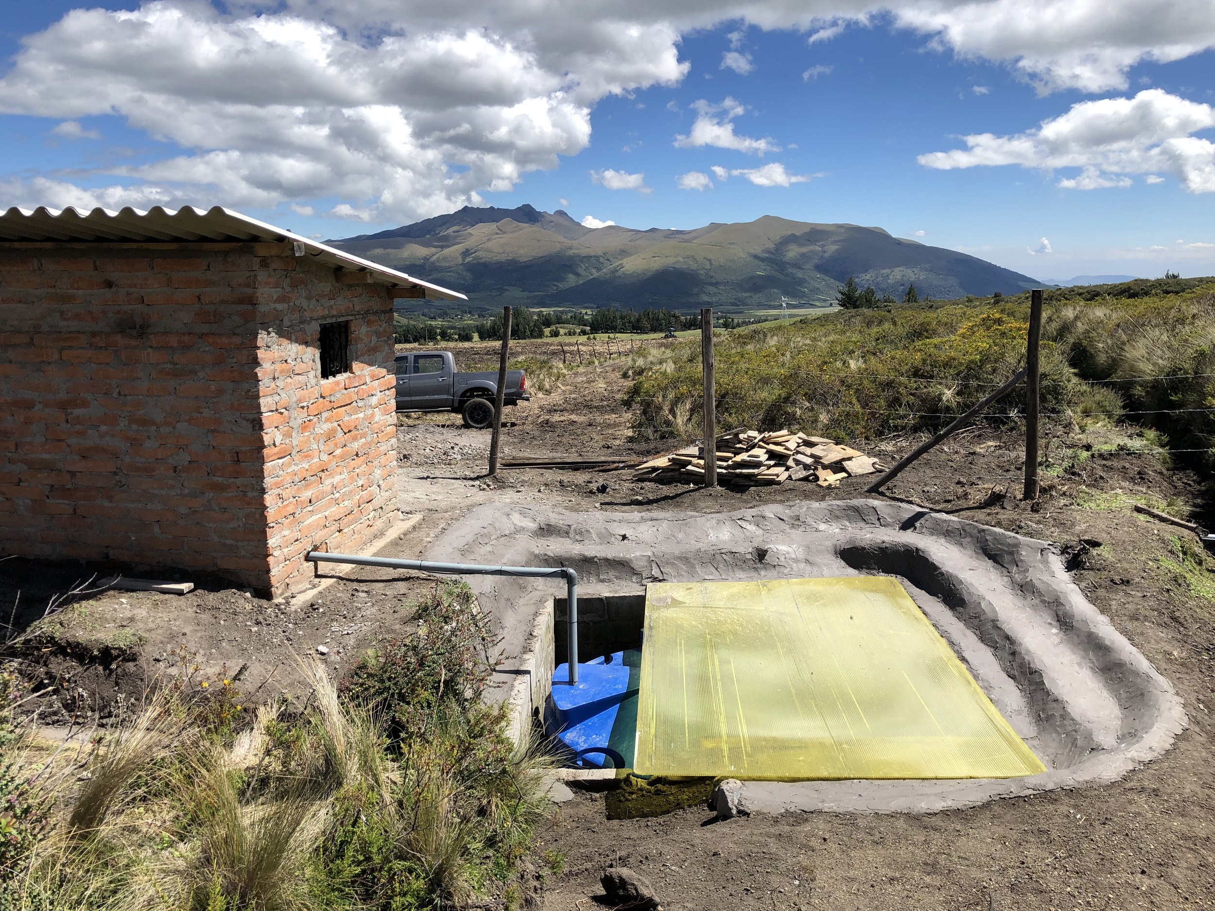
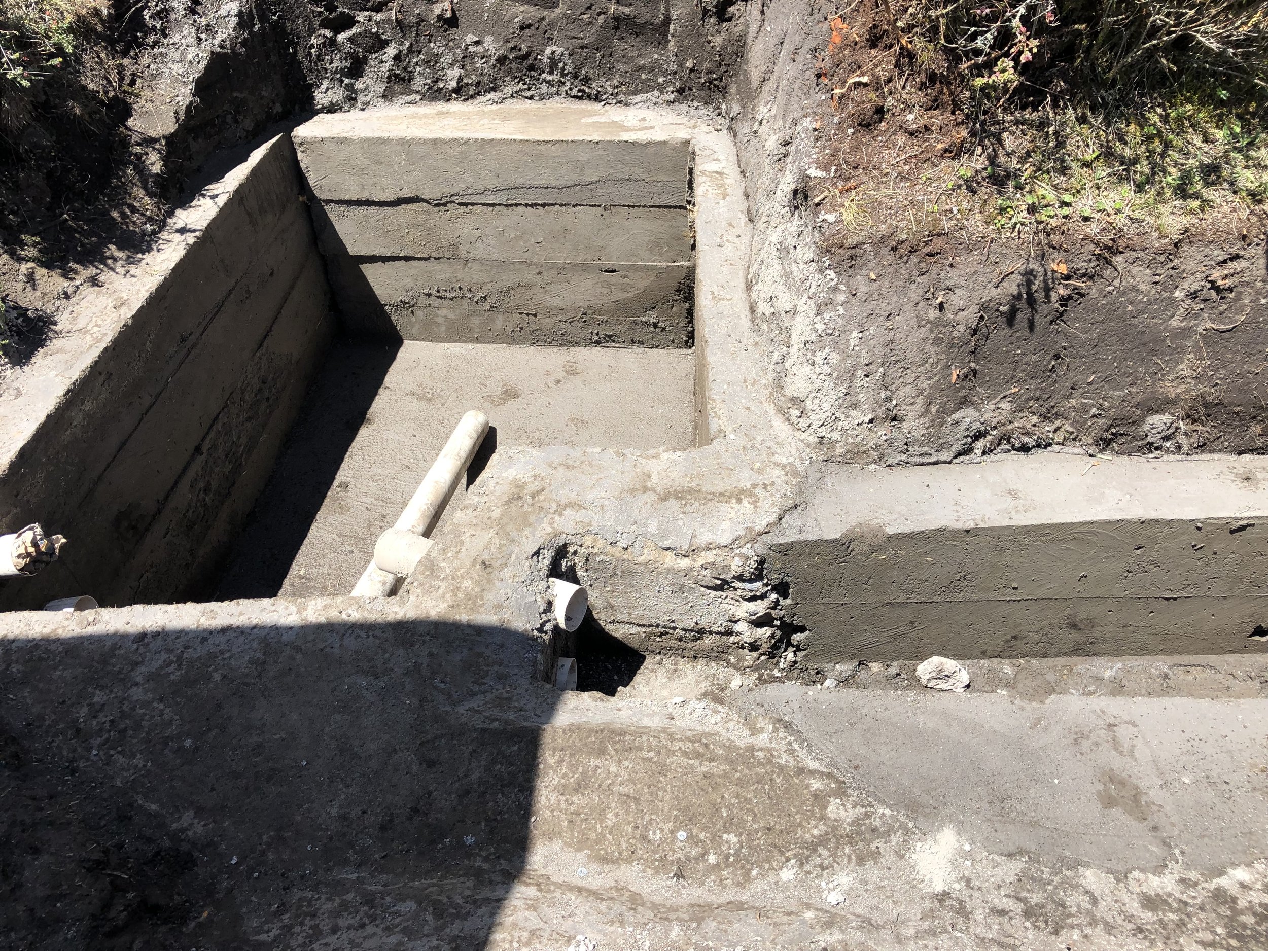
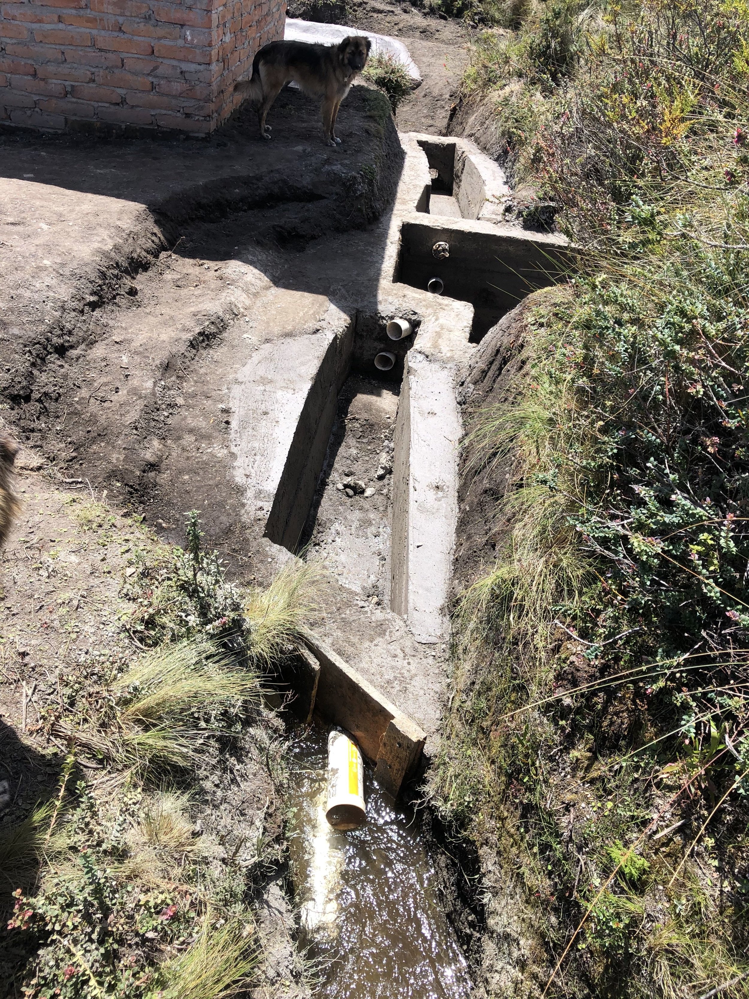
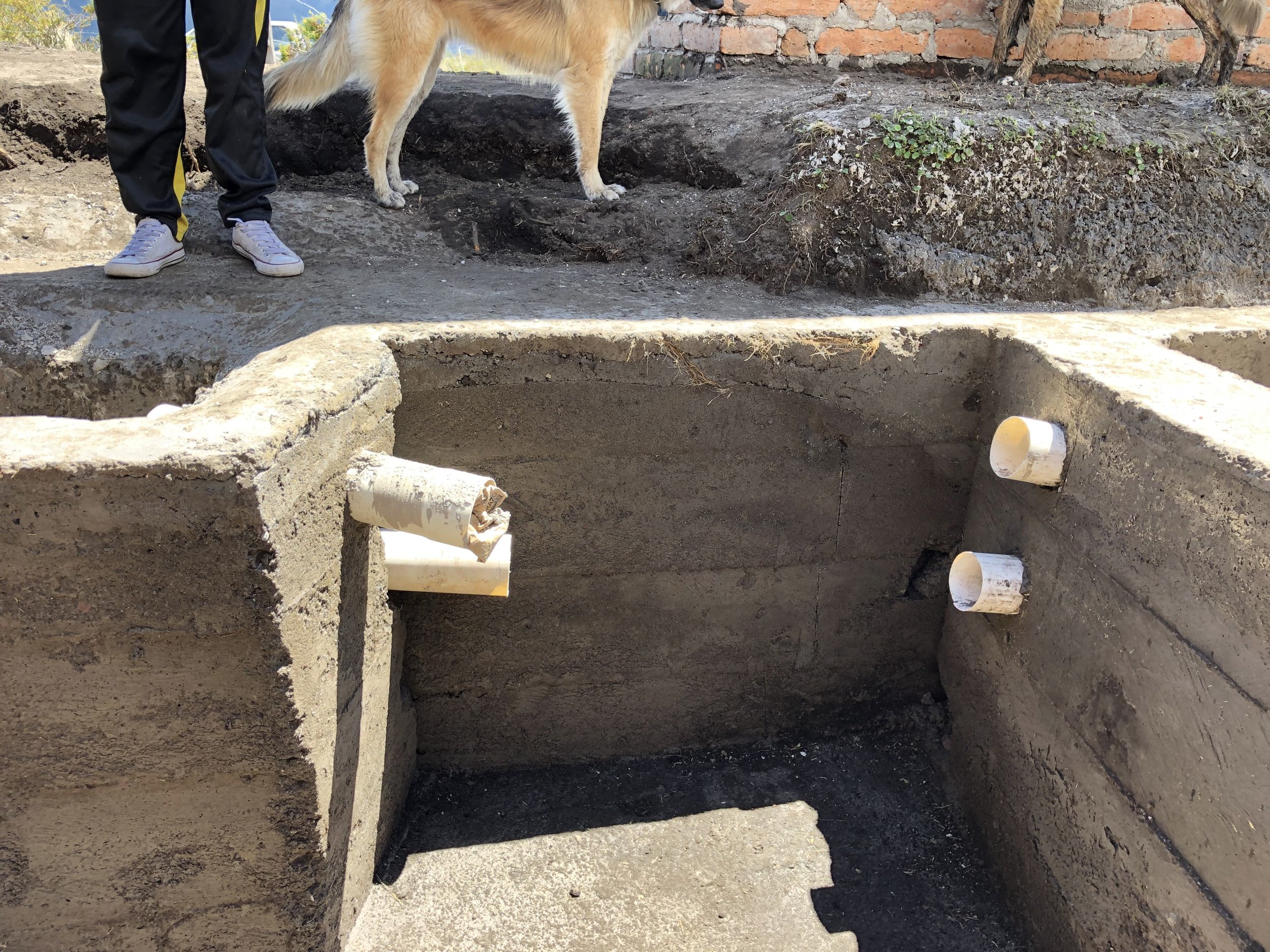
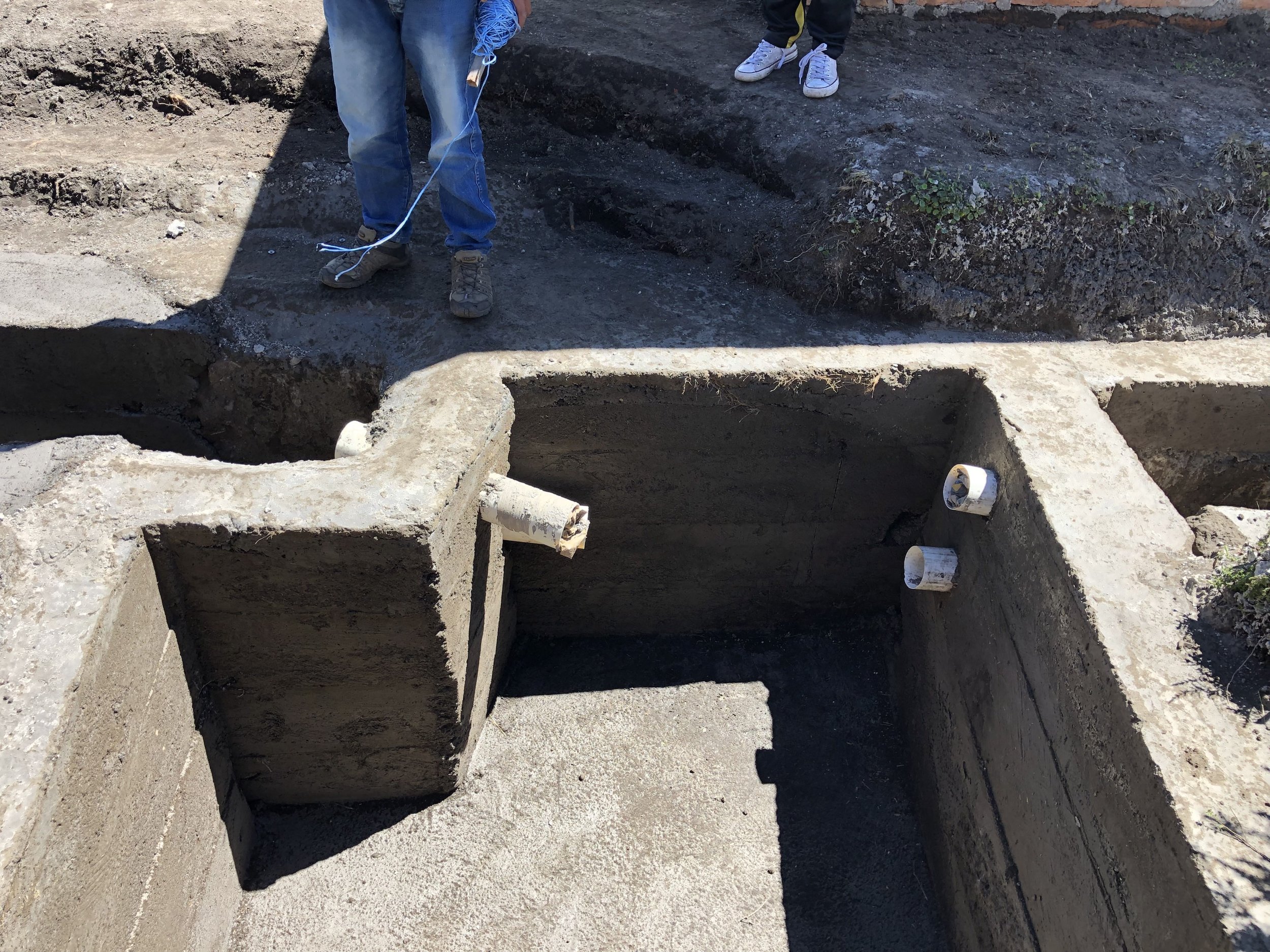
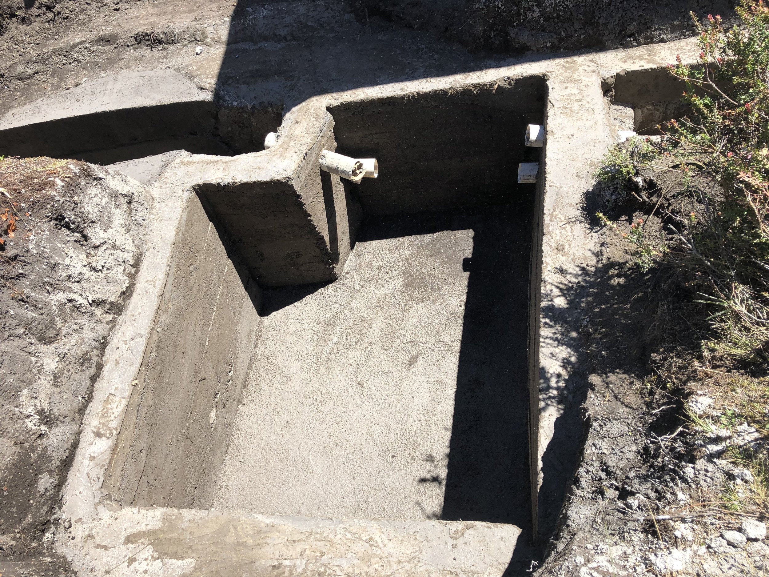
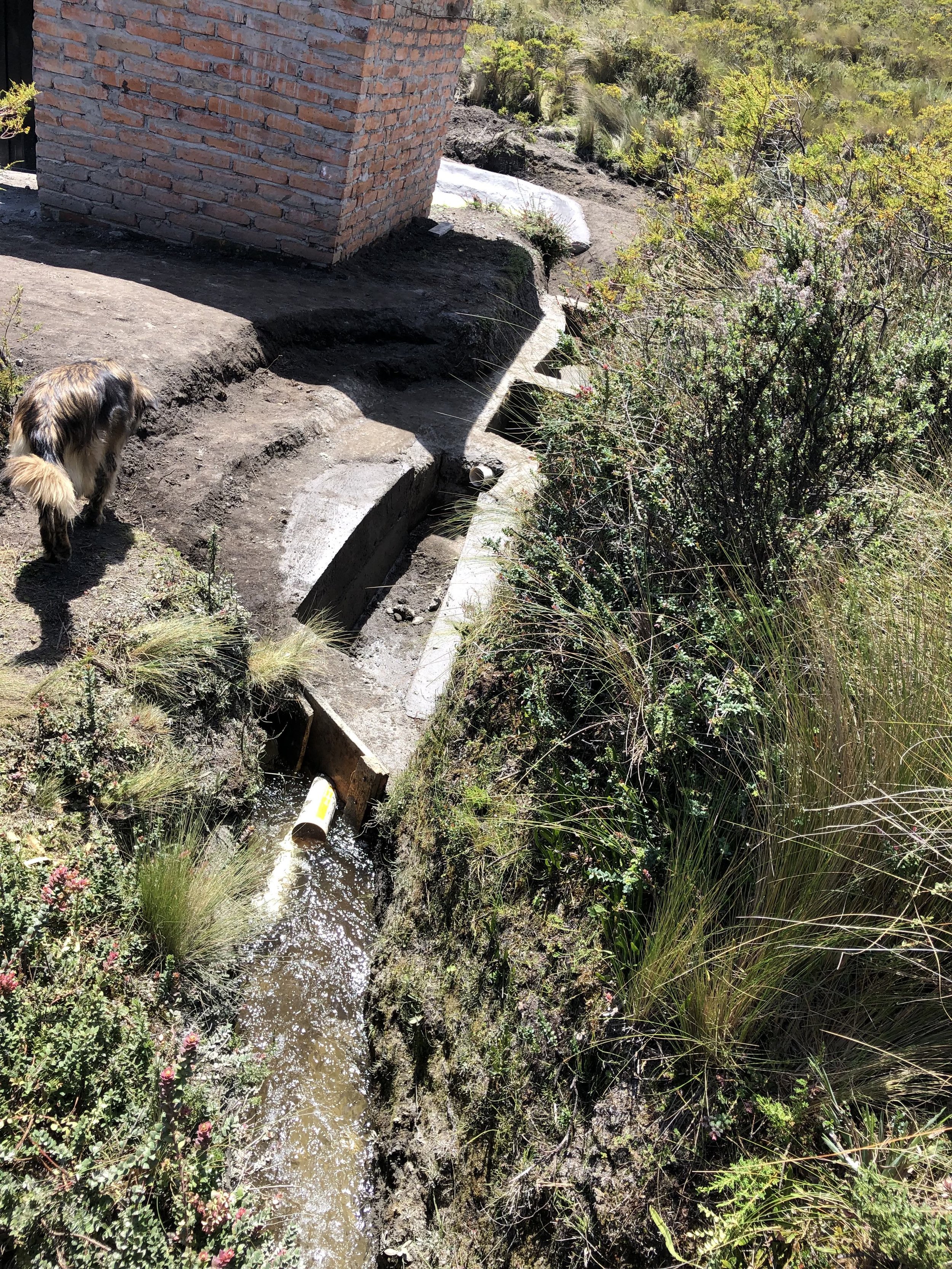
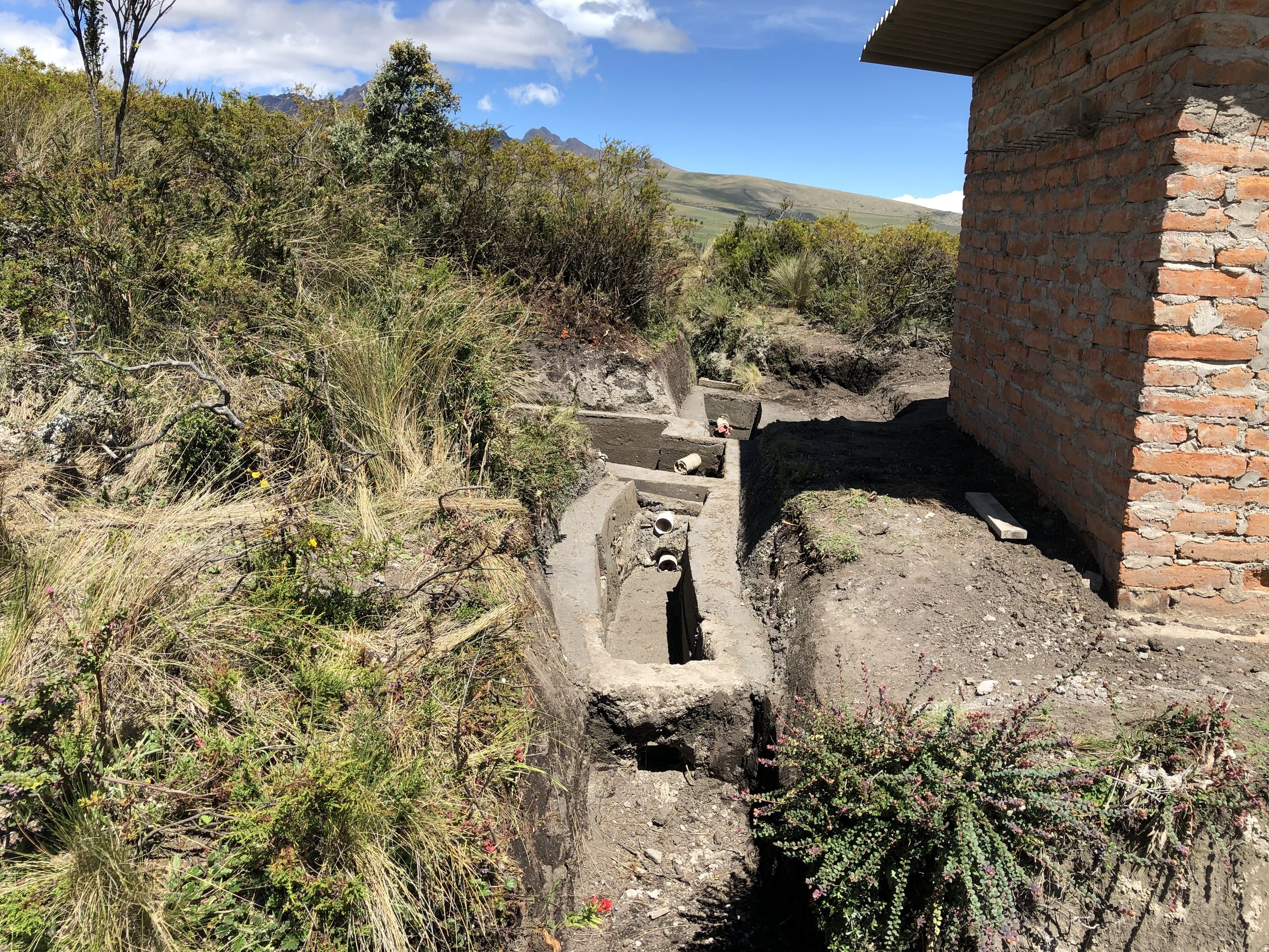
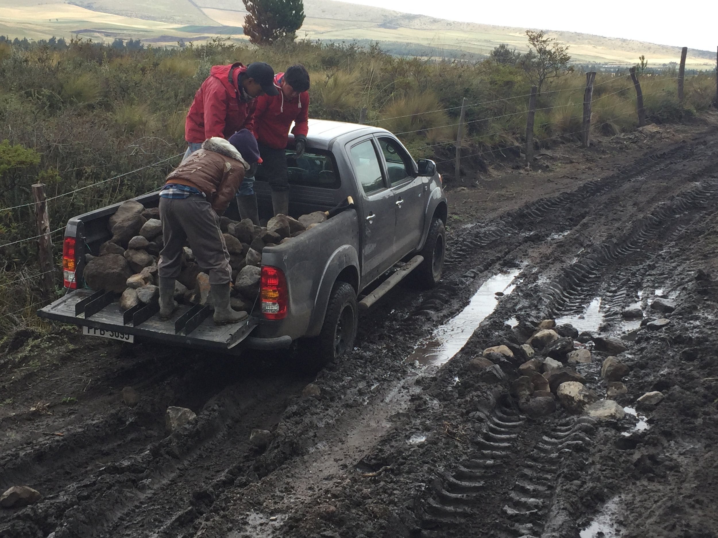
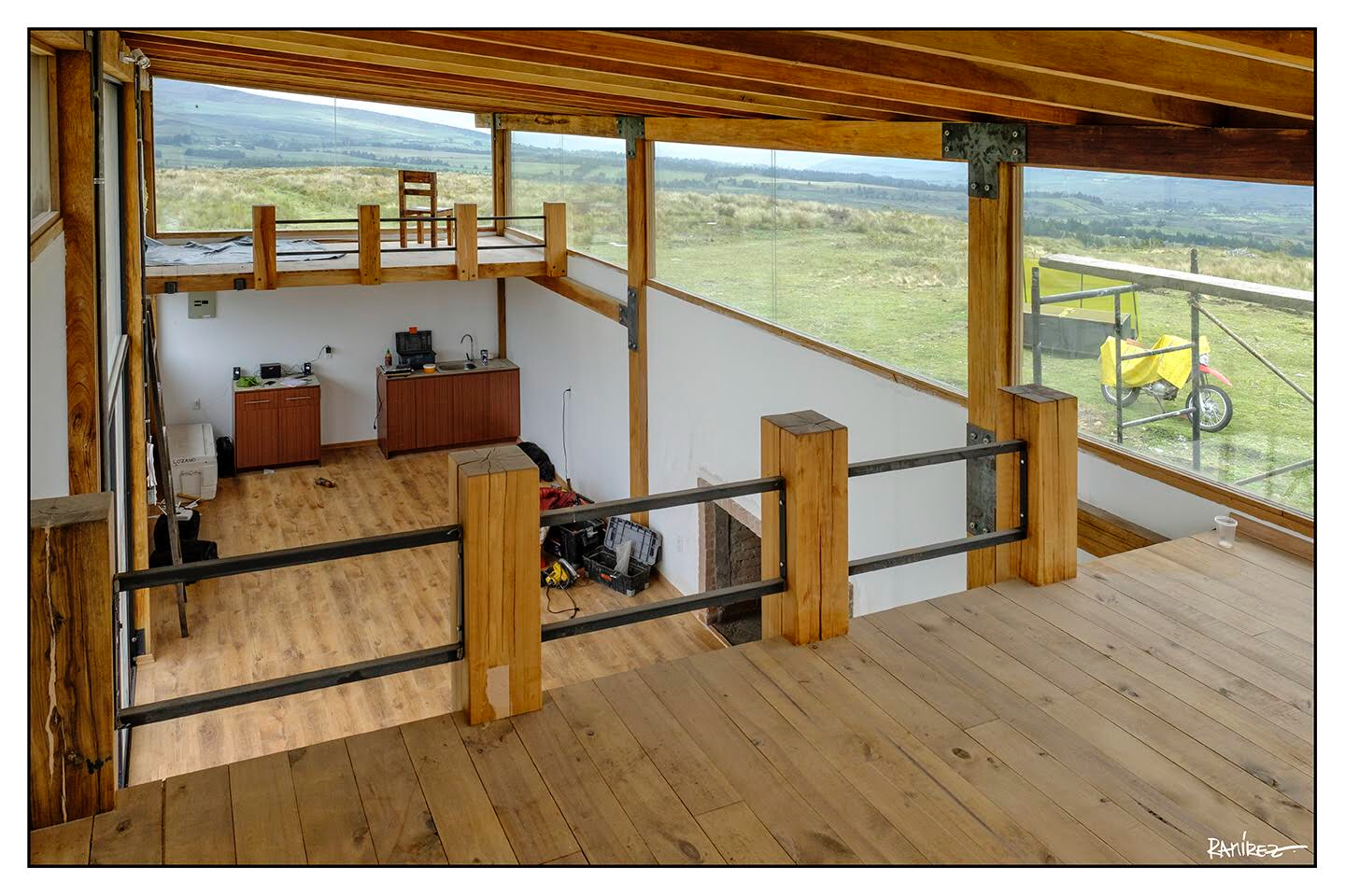
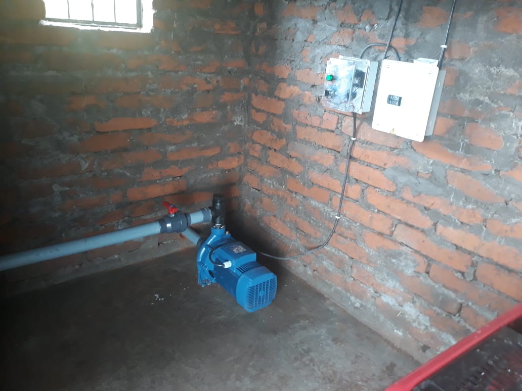
Getting Water and electricity to the house would turn out to be another gigantic problem (both the cost and the engineering). This GENERATOR issue remains a problem (as I write this on March 12, 2019) . This was well over $2900 that I budgeted. Some background: the contractor recommended electric water pumps. The first pic below is the pump connected to the pressure tank (80g, ~330lites) and is the smaller of the two water pumps (this one is 1hp). Because the house is located in the middle of the lote at the highest and flatest location, wells are not productive nor cost effective. There is however a sequia (water channel) that the locals use for irrigation and for their cattle. Purchasing a lote that captured the water channel was one of the keys to determine our lote layout. The concern of its location? The nearest available water source was on the far West side of the where I wanted to place the house. I would need to pump it approx 1/2km to the house. Engineering challenges then loomed. First, the pumps needed shelter from the elements and from thieves, so we built these brick sheds from scratch.
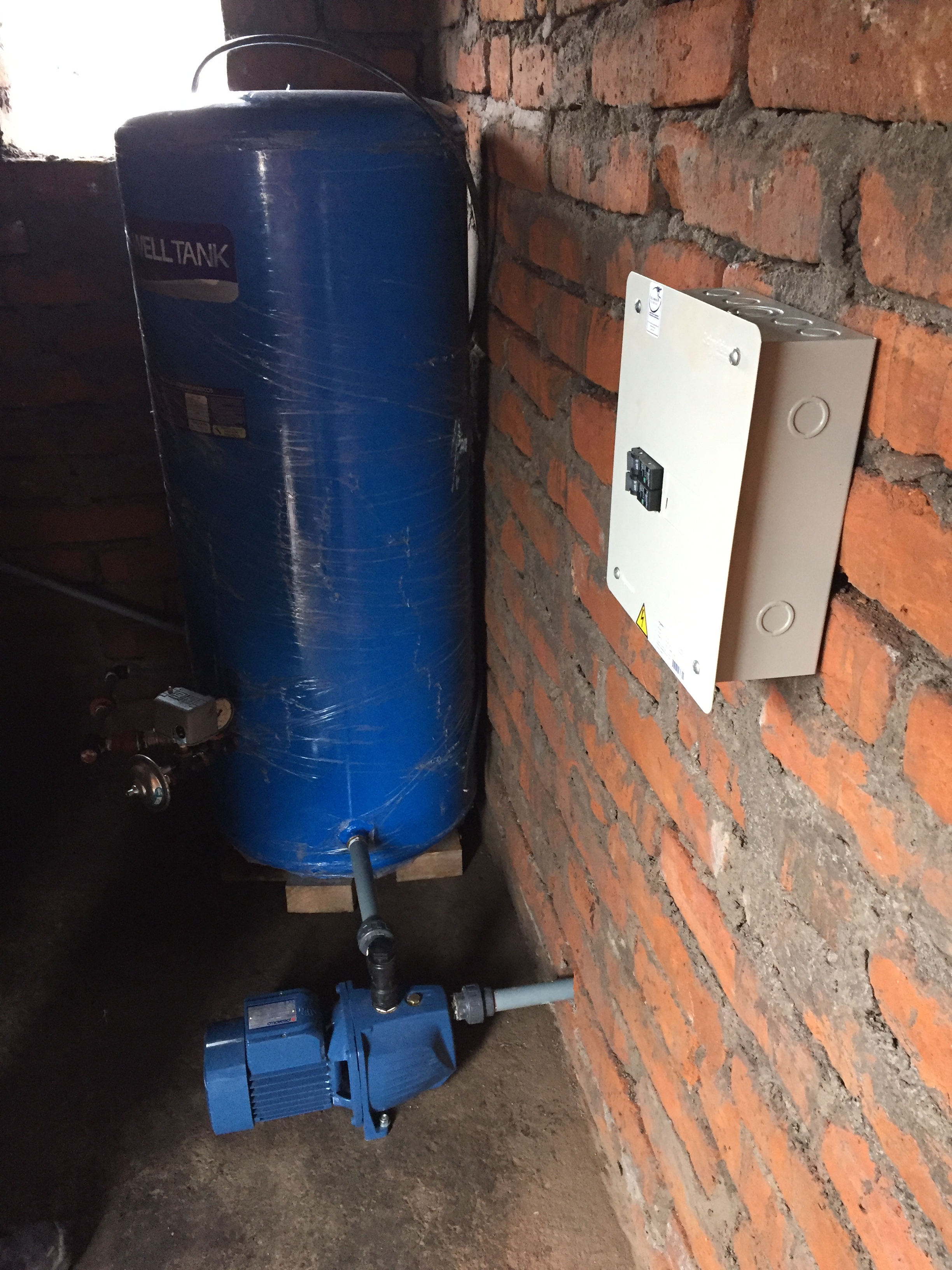
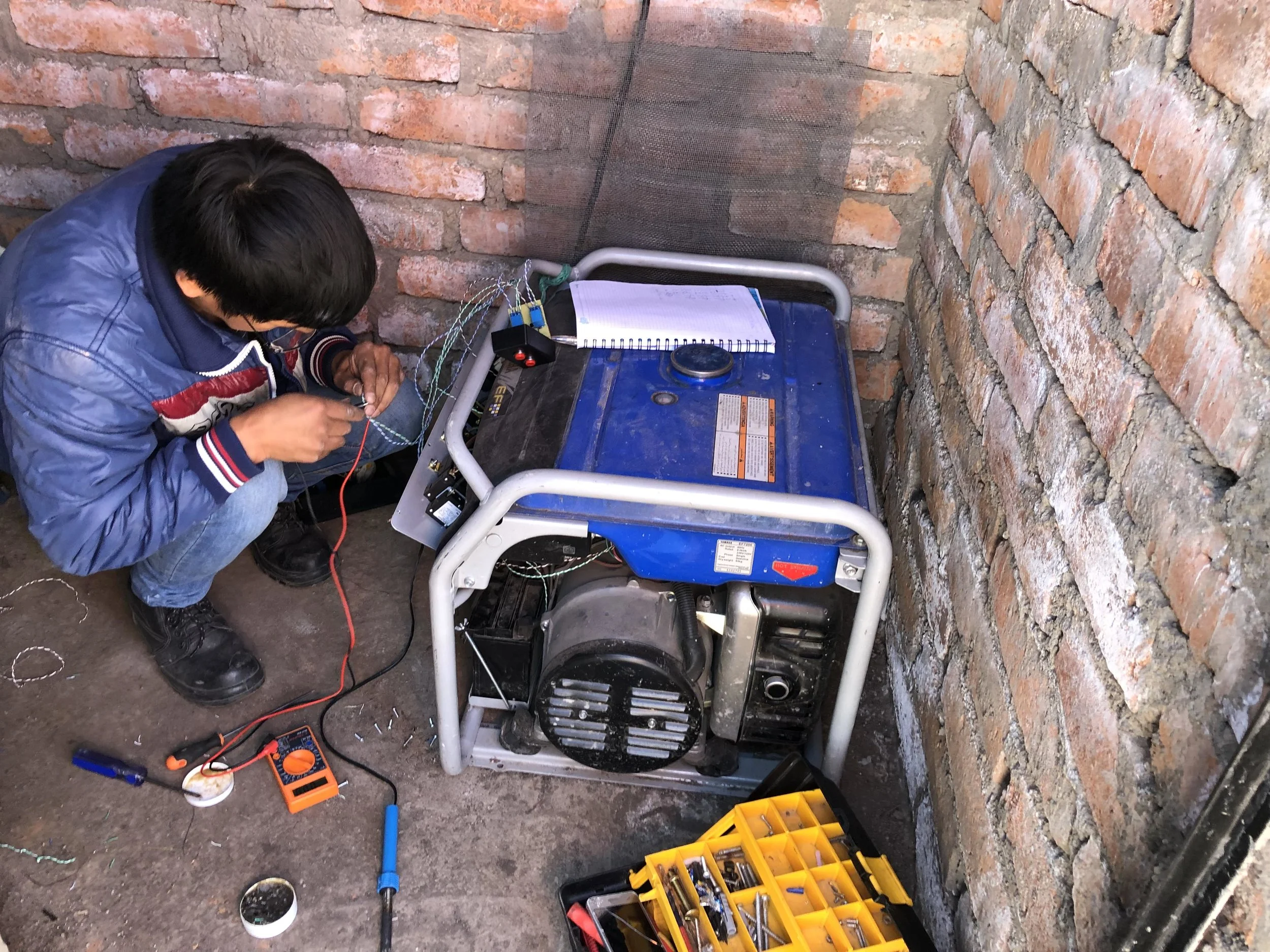
Below is the 2nd generator we purchased (10,000 watts (10kva)) and I was told that we needed that much power to “start” and maintain the large 5hp ELECTRIC water pump. That pump ($980), with a max head of 50m would be JUST enough to drive the sequia water 524m in distance to the house, but more importantly, to overcome the 45m gain in elevation over several hills. The idea was That was the IDEA. This Chinese made gasoline generator had a choke required for cold starts, which meant it couldn’t be automated from a distance and was therefore NOT what we planned. This failure that it would NOT be automated from a switch in the House—was a huge blow to the entire plan. I fought that outcome for 2 months as we dickered with different generators (at one point I disassembled the unit to find the carburetor, spent a week seeking an auto shut off low flow regulator as we haplessly attempted to convert the source of power from gasoline to propane). The conversion to propane would have eliminated the choke and permitted us to convert it to automatic start-up. It’s amazing how many Youtube videos exist of men converting their generators to propane in their garages. However, once I accepted this defeat we encountered a more fatal problem. Some Links for fun reading…
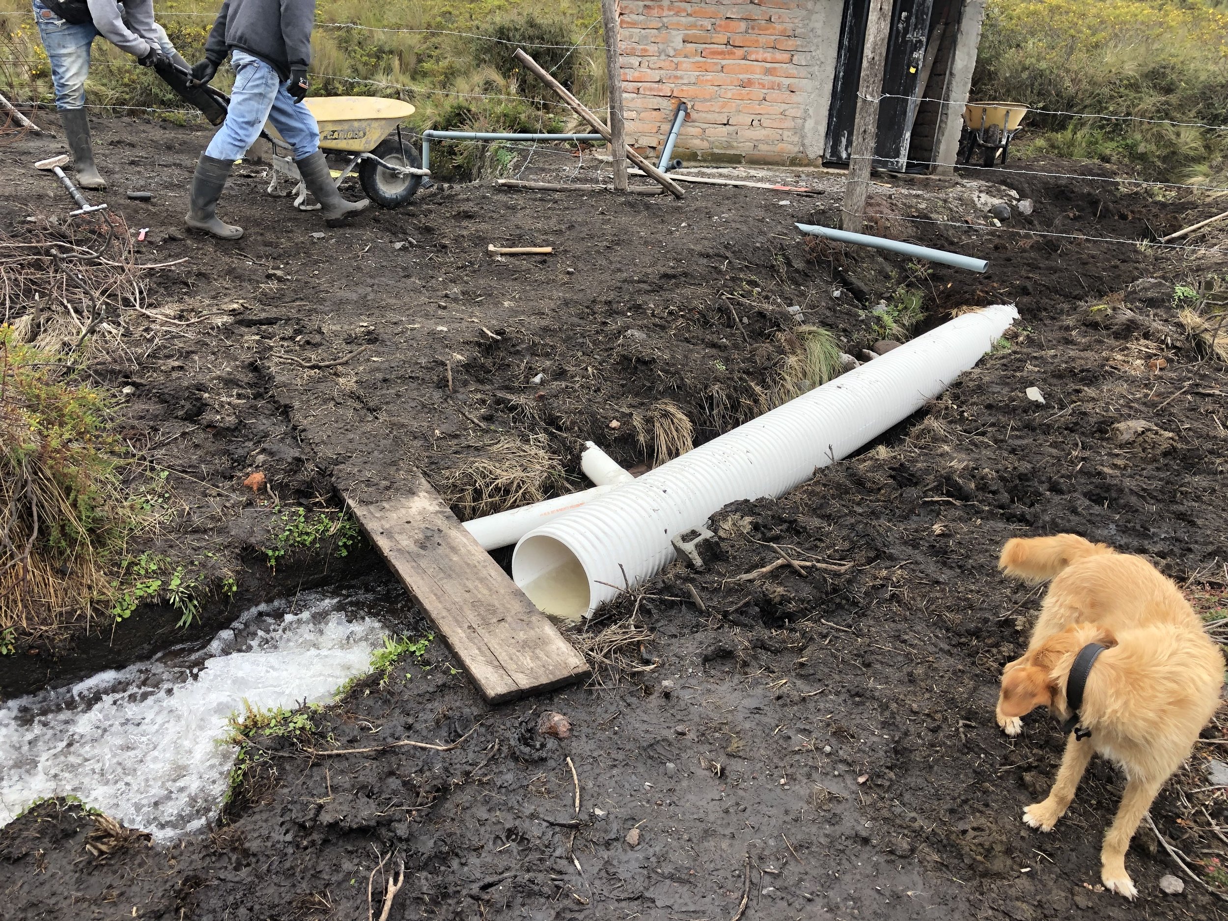
When we started the Triton and tested the power capacity it didn’t produce 10kva, it produced about 40% less power, and at 6kva, it was insufficient to get the pump started. Remember, there IS no other source of power. Now, we were really screwed. Returning expensive machinery that has been in the field for CASH, I was told, was IMPOSSIBLE. I may get credit, but not CASH. That was a terrifying fear as WTF was I going to do with a 2nd generator that DIDN’T DO THE JOB. Why the loss of power? Turns out there was nothing wrong with the generator, the problem was endemic to most combustion engines at elevation: the higher the elevation the less power you can generate. WHY DIDN’T ANYONE KNOW THIS? Turns out, for every 100m of elevation, there’s a 3.2% loss of power. I discovered this by reading through generator manuals and searching engineering sites online. GLAD TO FUCKING KNOW, but only after purchasing this (and a 2nd one) for more than $4000k. Ugh…fortunately, I was able to return both generators for Cash and exchange the electric 5hp pump with a manual start gasoline powered MOTO BOMBA (a water pump gasoline engine combination designed SOLEY to move water…it had a 100m max head and is louder and more intimidating than the Triton—see below—it’s yellow and cost $789).

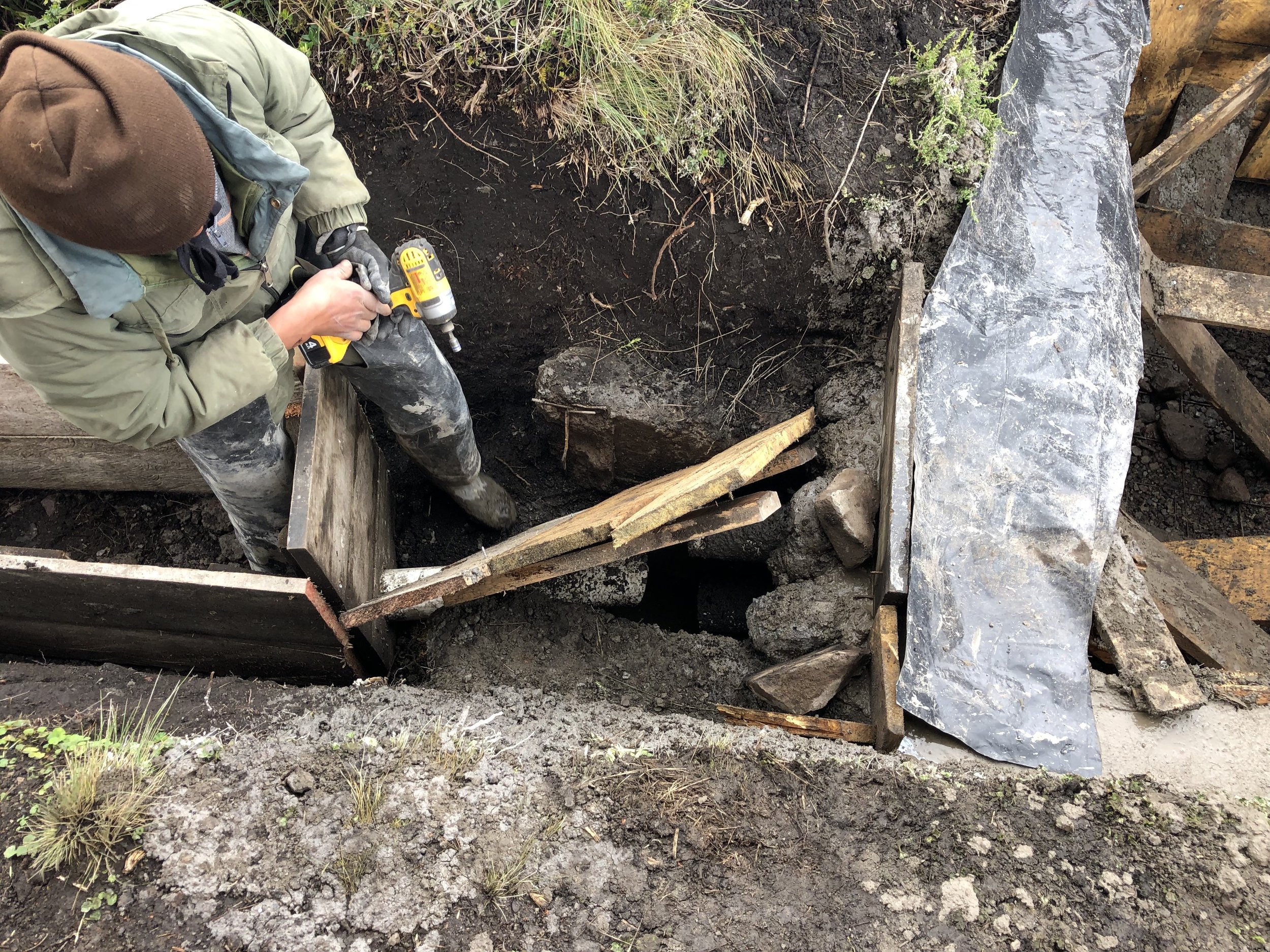
Jorge, the first electrician of the family of electricians who is not a good electrician, setting up the Yamaha Generator (6500w, $2000). Jorge spent all day trying to get this generator to turn on from a switch located at the house. It would turn off, but not turn on. Location: inside Shed #2, which is 100m from the house. The generator provides and is the ONLY source of power for the house and powers the 1hp pump (not the big pump).
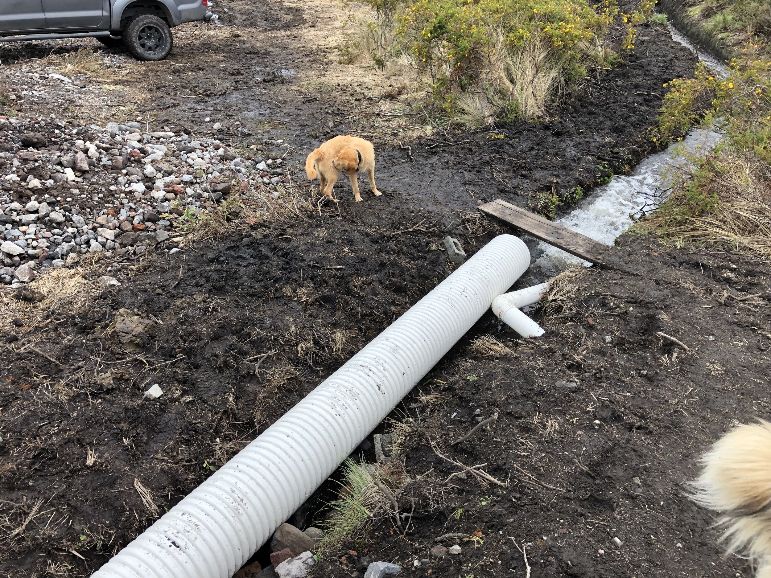
Jamie the water guy from a family of water people, knows water, but not pumps at elevation and loss of power from power sources. Nice guy, fucked up the setup/design when he suggested an electric pump, which required the Triton Generator. Here, he is installing the replacement to the Triton—the famed MOTO BOMBA. Big yellow does the job of moving water 525m in distance at elevation of 45m with terrible efficiency and noise. That MF water moves quickly up the hill! Pic is from inside brick Shed #1, which we also built from scratch and is fortified against inclement weather and thieves..

This shot made me so HAPPY. Water and flowing with great velocity into our two 2500L receiving tanks (it gets pumped from the 5000L tank). This looks clean-it’s not and certainly not treated and not potable. Still…LOOK AT THE WATER…

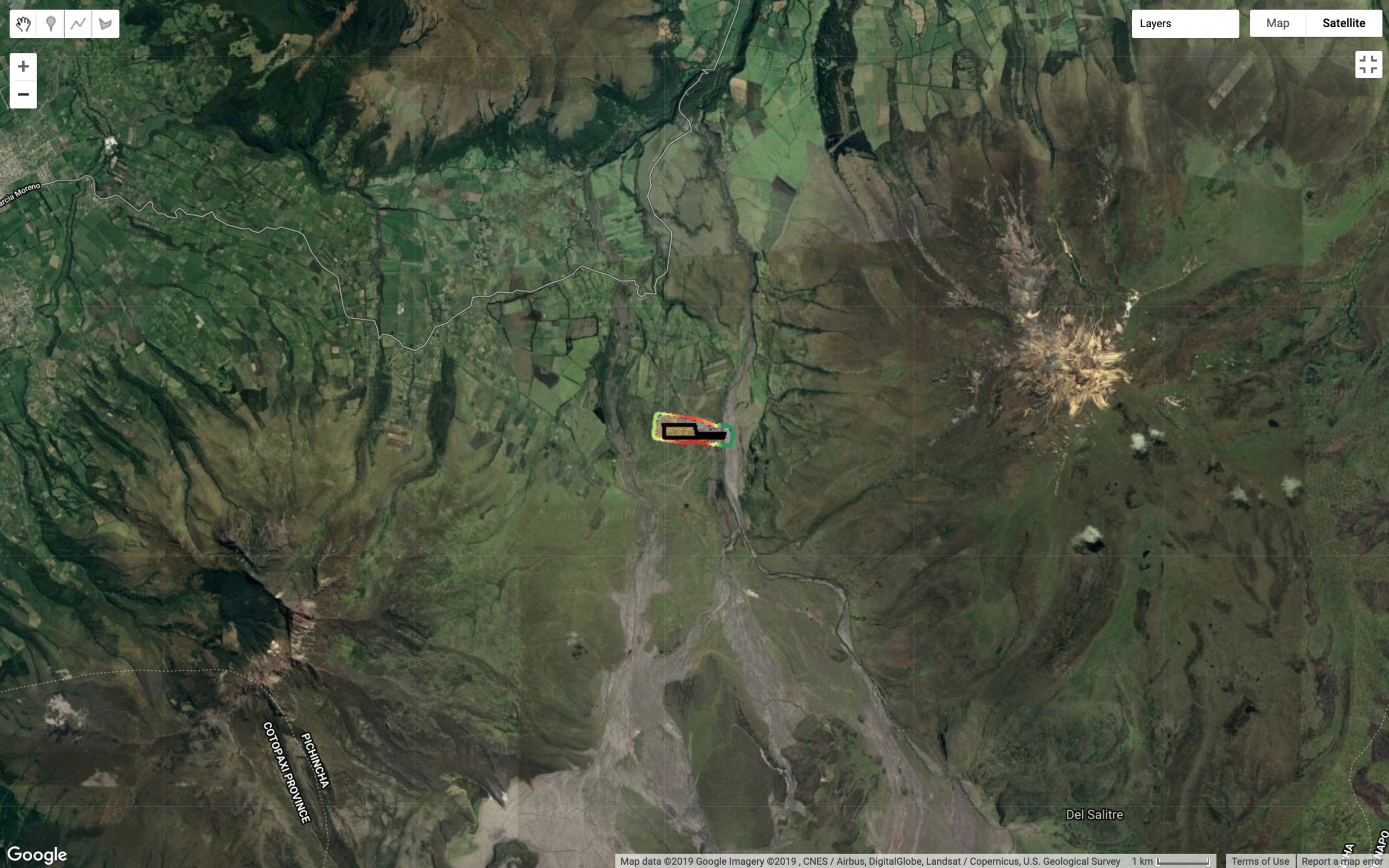
LOCATION LOCATION LOCATION. After deciding to purchase, we needed to decide how much to spend on land acquisition, what we might build on it, what additional risk factors we needed to consider/mitigate (eg. legal, financial, and ohh how about DEATH DUE TO to volcanic eruption. Right, Ok. First things first: we wanted to be near Cotopaxi National Park and had heard that Chiriboga Family was in the process of selling lots. Good, a start…. In this first screen shot you can see the dropped pins from my GPS Watch and it roughly outlines what became the perimeter of the lote.

As mentioned earlier, I had spent months on this land taking GPS measurements and the broad outlines of a lote slowly came into focus and the most desirable part was a relatively flat stretch with 360 views. This pic below is farther out and gives context. Note: the dropped pins are the lote, Sincholagua Volcano is immediate to the right and is 4880m high, the glacial covered mass further right (East) from Sincholagua is Antisana (5800m).
LOCATION LOCATION LOCATION, what are the keys to this location? There were 3. First, flat land with 360 views with easy access to Cotopaxi National Park. Second: A water source so that we could be independent of the locals and ALWAYS have water. The sequia I mentioned earlier (and is detailed in another blog) does, occasionally, run dry leaving the local panicky about their cattle and their agricultural products. Third: access to Rio Pita and the faldas of Sincholagua. These demands required a lote that stretched 1.2 km in distance—from the water source (sequia to the West) and the Rio Pita (access to Sincholagua to the East). Why not just take water from the Rio? Prohibited as that water feeds Quito and penalties are huge. Why is Sincholagua important? There are several high end tour operators who run tours inside and around the park on horseback. Most are day trips. Those that are overnight, use the National Park and camp and/or stay at one of the high end boutique hostals. However, using the National Park has its own restrictions (e.g no dogs), limits on trails, guests, gear, guides, etc. All good things. From the stories I have heard from these high end operators, gaining access to the faldas of Sincholagua requires RELIABLE access to the Rio Pita. Reliable access from the many local landowners is difficult. Why? Because they operate in cooperatives, where there is a communal gate, and a communal key. For example, the cooperativo San Jose (adjacent to us) has 30 separate socios…30 separate opinions, 30 separate fees and they won’t give you the key to the gate.

Our lote is one of 7 owners and I AM RELIABLE. I have a ranch hand on staff (Diego), he lives 10 minutes away, and we have unfettered access to the river once you enter through 2 gates.
The family Chiriboga apparently owned over 10,000 hectares many years ago and have slowly been shedding land. For the parcel Contadero, 1000 hec, the motivation to sell was primarily to pay for debts to their employees. Their various ranch hands had been getting paid their regular salaries, but the family had not been making contributions to the insurance/social security. After 20 years, the workers decided to demand back payment, which the family could not make in cash, and they settled on payments with land/lotes. Hence, the sub-division of Contadero. The family could only meet me on Sundays at 5pm in Quito. Ugh. Well Sra. Chiriboga and her son, Augustine, and I had 3 meeting and settled on pricing—they then asked me which of the pre-set lots I wanted to purchase. I said non of them, I wanted to carve out my own lote. Amazingly, they agreed and I was instantly ready with the GPS coordinates on a map. The were indifferent to my trespassing and were very accomodating to my request to CARVE OUT MY OWN UNIQUE LOTE.
Later, as I reflected on the events leading to the acquisition, I realized that this sale would be, according to them, the LAST sale they would make of parcels at this location. The Chiriboga family cash crisis would be ended by these Sales/conveyances and they were loath to sell any more of their land. As this was the last of the sale for generations, they didn’t really care about the layout a small lote (19hec to the “Sr. Gringo”). This might be the only time to my hands on a lote from this Family. The locals, once becoming propetarios, would NEVER EVER sell to anyone. After all, their families have been employees for generations and they are campesinos and Andinos. The land of their ancestors was stolen 500 yrs ago. This makes our timing surrendipitous and again, I am humble before my good fortune.
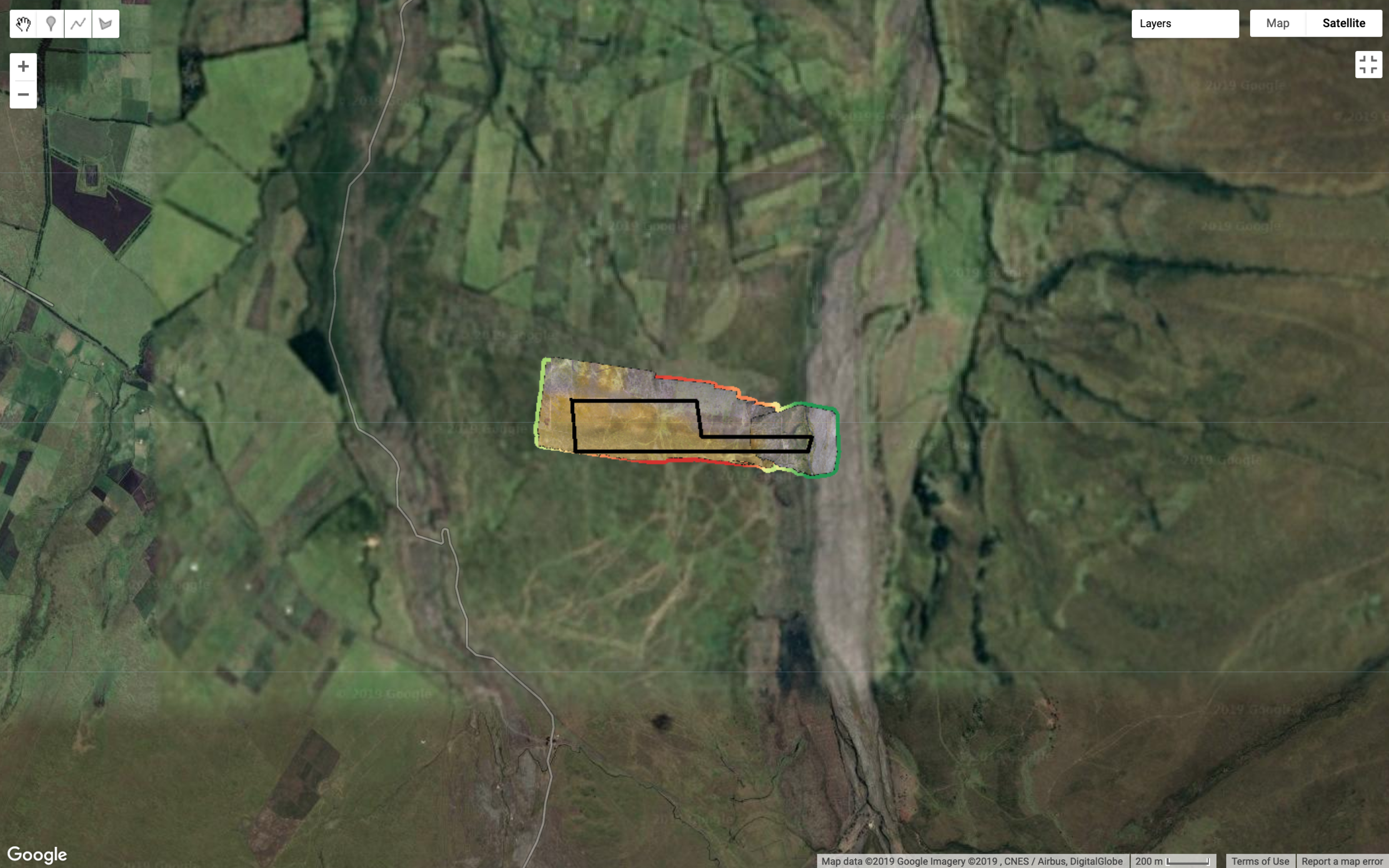
This map (below) is generated from my GPS Watch and each point indicates a location where I had hiked. The rough perimeter of the lote is coming into form.

Why the strange shape for our lote? Back to our two key requirements: access to the Rio Pita and to the Sequia (which are on opposite ends of each other). Access to the Rio Pita, so that I could then cross it (with horses) and get into the true wilderness heading south towards a ranch called Yanaruco, past the faldas de Sincholagua.

Purchasing contract: The usual legal/financial risk factors associated with land acquisition were adequately mitigated, but the additional factor of DEATH BY VOLCANO-well, that was new to me. I didn’t learn about mitigating that risk during my many years as risk manager for a large financial firm. I know about earthquakes…and that’s presumed to occur when a Volcano erupts, but well now. This last risk factor was mentioned in passing by an acquaintenance, Eran, who tried to sell me his hosterial on the West side of the Pan American Highway (way to far from the Volcano for my tastes). “Alex, certainly you understand the risk of the volcano at that location, right?” Of course I did—AFTER he mentioned it. Anyway, how to minimize the impact of the next eruption of Cotopaxi?
Ok, now I have to read up on volcanology, geology and WTF. Here’s what I know now: For an eruption, it’s not a question of if, it’s a question of when (Cotopaxi erupts regularly, approx every 100 yrs)—with latest in 2015. Eruption severity, duration, proximity all help define who shit fucked you might be if you are nearby. How do folks perish when a volcano erupts? Let use count the ways… The Ecuador institute for geophysics monitors all active volcanoes and produces some pretty good reports (see below). Those reports include helpful maps like this this one below. In August 2015 Cotopaxi erupted (VEI level 2, per Ecuador EPN) but there’s a conflicting report indicating that the 2015 eruption was VEI 5-6 (see below). I’ve added a little rectangle box in the middle of the page—this is where our house sits. First way to kills humans, according the the Volcano operators’ guide, is Lahares. Two is toxic gases, three are projectiles thrown at high velocity, and there are others (lava, sink holes, straight out shitting your pants fear). For our purposes, we’ll stick to the first three.
The grey areas surrounding the house is the projected flow of the Lahares. “A lahar is a violent type of mudflow or debris flow composed of a slurry of pyroclastic material, rocky debris and water. The material flows down from a volcano”, Wikipedia. See, family, it neatly passes by the house on the West side (historical trenches exist where previous lahares passed) and flows past on the East side following the Rio Pita. One of the colossal eruptions from 200 yrs ago took the lahares all the way to the City of Quito (55km North of this location).

translates to: the map of threats
I love the terms here where Cataclysmic is only level #4…so, you see since the “official” VEI rating was a 2 (from the Ecuadorian 2017 EPN), merely “Explosive”. Come on! Totally safe!

We hired a local expert to evaluate our land (water, soil, fauna etc) and he mentioned that our lote was in the zone between 5.25cm and 5cm for projectiles (Gabriel Munoz Report). That is, upon an eruption, the largest rocks are expected to be between 5cm and 5.25cm in size (presuming an eruption of >4). A rain storm of rocks, hurray. I love how he refers to them as “pebbles”. Our house is mostly windows…This may kill us. However, the true danger at this location are the toxic gasses that will be spewing and driven into our house because the prevailing winds are North from the Cotopaxi. In the summer, the “windy” season, those winds are consistent and strong. The good news? Cotopaxi is very touristy and heavily monitored. We will have some warning just be our deaths….haha.

The conflicting report of Cotopaxi VEI level….this is from a “wind report” generated for airlines…

A brief history of destructive events from our love Cotopaxi…

LINK: https://www.volcanodiscovery.com/cotopaxi-eruptions.html#er335
Enough about volcanoes, so, this is where we ended up as shape for our curious little lote. North is Quito, South is Cotopaxi. I created this map using GPS watch, printed on Mapbox, and then I used pencil to outline the lote. This is what I presented to the family Chiriboga. The water is on the far West side and needs to be pumped 524m in distance and 45m in elevation. Dot labled L10 is where the house is (hence L for lodge).

Final from the surveyor…who took my GPS Coordinates with no objections from sellers!

Gabriel’s report with the outline of the lote overlayed on Google Maps..